Near Fredericksburg in Gillespie County, Texas — The American South (West South Central)
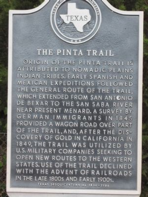
Pinta Trail
Erected 1986 by Texas Historical Commission. (Marker Number 10096.)
Topics. This historical marker is listed in these topic lists: Exploration • Roads & Vehicles • Settlements & Settlers. A significant historical year for this entry is 1845.
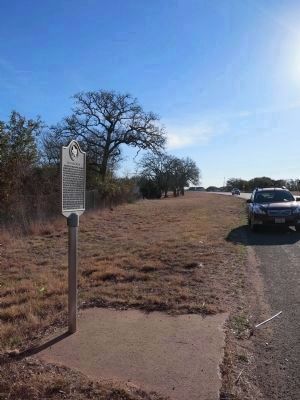
Location. 30° 13.549′ N, 98° 48.675′ W. Marker is near Fredericksburg, Texas, in Gillespie County. Marker is on U.S. 290, on the right when traveling west. Located in a rest area 5.2 miles east of Fredericksburg. Touch for map. Marker is in this post office area: Fredericksburg TX 78624, United States of America. Touch for directions.
Other nearby markers. At least 8 other markers are within 3 miles of this marker, measured as the crow flies. The Easter Fires (approx. 1˝ miles away); The Braeutigam Family (approx. 2.6 miles away); The Natural Setting (approx. 2.6 miles away); The Guardhouse (approx. 2.6 miles away); Peace with the Indians (approx. 2.6 miles away); The Sutler's Store (approx. 2.6 miles away); Uncovering the Past (approx. 2.6 miles away); The Barracks (approx. 2.6 miles away). Touch for a list and map of all markers in Fredericksburg.
Also see . . . Pinta Trail article, Handbook of Texas Online. (Submitted on February 16, 2014, by Richard Denney of Austin, Texas.)

Photographed By Richard Denney, February 15, 2014
3. Pinta Trail Marker
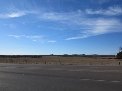
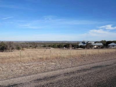
View across road from marker, looking south towards the hills where the town of Cain City (now a ghost town) would later be located. Trail passed through the gaps in hills. See reference to Cain City in link to Pinta Trail article, Handbook of Texas Online.
Credits. This page was last revised on August 27, 2020. It was originally submitted on March 21, 2010, by Steve Gustafson of Lufkin, Texas. This page has been viewed 3,349 times since then and 131 times this year. Last updated on November 30, 2018, by Brian Anderson of Humble, Texas. Photos: 1. submitted on March 21, 2010, by Steve Gustafson of Lufkin, Texas. 2, 3, 4. submitted on February 16, 2014, by Richard Denney of Austin, Texas. • Andrew Ruppenstein was the editor who published this page.


