Central Park West Historic District in Manhattan in New York County, New York — The American Northeast (Mid-Atlantic)
Henry Bliss
Historic Site - The first recorded motor vehicle fatality in the US
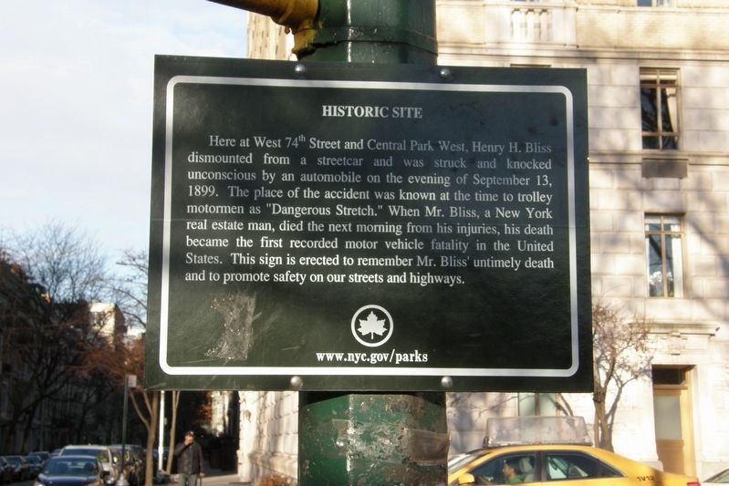
Historic Site
Here at West 74th Street and Central Park West, Henry H. Bliss dismounted from a streetcar and was struck and knocked unconscious by an automobile on the evening of September 13, 1899. The place of the accident was known at the time to trolley motormen as “Dangerous Stretch”. When Mr. Bliss, a New York real estate man, died the next morning from his injuries, his death became the first recorded motor vehicle fatality in the United States. This sign is erected to remember Mr. Bliss’ untimely death and to promote safety on our streets and highways.
www.nyc.gov/parks
Erected 1999 by NYC Parks.
Topics. This historical marker is listed in these topic lists: Notable Events • Roads & Vehicles. A significant historical date for this entry is September 13, 1899.
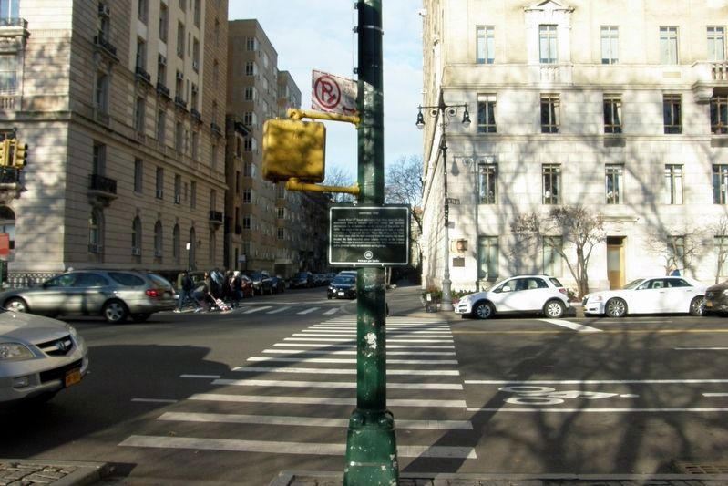
Location. 40° 46.651′ N, 73° 58.497′ W. Marker is in Manhattan, New York, in New York County. It is in the Central Park West Historic District. Marker is at the intersection of Central Park West and West 74th Street, on the right when traveling north on Central Park West. The maker is at the crosswalk on the Central Park side of the street and is only readable from the sidewalk. Touch for map. Marker is in this post office area: New York NY 10023, United States of America. Touch for directions.
Other nearby markers. At least 8 other markers are within walking distance of this marker. Central Park West: West 73rd-74th Street Historic District (a few steps from this marker); The San Remo (a few steps from this marker); The Majestic - 115 Central Park West (about 600 feet away, measured in a direct line); The New-York Historical Society (about 700 feet away); Central Park West-West 75th Street Historic District (about 800 feet away); Theodore Roosevelt Park (approx. 0.2 miles away); The Falconer Statue (approx. 0.2 miles away); Congregation Shearith Israel (approx. 0.2 miles away). Touch for a list and map of all markers in Manhattan.
Credits. This page was last revised on January 31, 2023. It was originally submitted on December 8, 2018, by Larry Gertner of New York, New York. This page has been viewed 394 times since then and 39 times this year. Photos: 1, 2, 3. submitted on December 8, 2018, by Larry Gertner of New York, New York. • Andrew Ruppenstein was the editor who published this page.


