Crescent Beach in St. Johns County, Florida — The American South (South Atlantic)
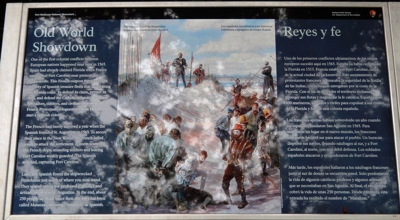
Old World Showdown / Reyes y fe
Fort Matanzas National Monument
The French had barely survived a year when the Spanish founded St. Augustine in 1565. To secure their place in the New World, the French sailed south to attack the settlement. A storm scattered the French ships, stranding soldiers and leaving Fort Caroline weakly guarded. The Spanish attacked Fort Caroline.
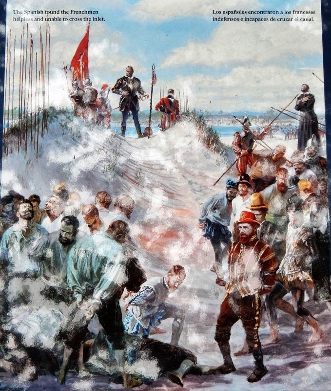
Later, the Spanish found the shipwrecked Frenchmen just south of where you now stand. They spared only a few professed Catholics and artisans needed in St. Augustine. In the end, about 250 people lay dead. Since then, the inlet has been called Matanzas, meaning “slaughter” in Spanish.
Los franceses apenas habían sobrevivido un año cuando los españoles fundaron San Agustín en 1565. Para asegurarse un lugar en el nuevo mundo, los franceses, navegaron hacia el sur para atacar el pueblo. Un huracán dispersó sus navíos, dejando náufragos al sur, y a Fort Caroline, al norte, con una débil defensa. Los soldados españoles atacaron y se apoderaron de Fort Caroline.
Mas tarde, los españoles hallaron a los náufragos franceses justo al sur de donde se encuentra usted. Solo perdonaron la vida de algunos católicos profesos y algunos artesanos que se necesitaban en San Agustín. Al final, el encuentro cobró la vida de unas 250 personas. Desde entonces, esta entrada ha recibido el nombre de “Matanzas.”
Erected 2018 by National Park Service, U.S. Department of the Interior.
Topics. This historical marker is listed in these topic lists: Colonial Era • Forts and Castles • Settlements & Settlers • Wars, Non-US. A significant historical month for this entry is September 1565.
Location. 29° 42.839′ N, 81° 13.992′ W. Marker is in Crescent Beach, Florida, in St. Johns County. Marker can be reached from A1A Scenic and Historic Coastal Byway (State Highway A1A) 4 miles south of State Highway 206, on the right when traveling south. Marker is located on the Fort Matanzas National Monument grounds, along the Coastal Hammock Trail boardwalk, near the Matanzas River beach, south of the Fort. Touch for map. Marker is at or near this postal address: 8635 A1A South, Saint Augustine FL 32080, United States of America. Touch for directions.
Other nearby markers. At least 8 other markers are within 4 miles of this marker, measured as the crow flies. Massacre by Menendez (here, next to this marker); Closing the Door / Protegiendo el acceso (about 600 feet away, measured in a direct line); Crumbling Coquina / Piedra frágil (about 600 feet away); Fort Matanzas National Monument (about 600 feet away); Massacre of the French (approx. 0.3 miles away); Southeast Intracoastal Waterway Park (approx. 0.4 miles away); Guarding Matanzas Inlet
(approx. 0.4 miles away); Early Settlers on This Land (approx. 3.2 miles away). Touch for a list and map of all markers in Crescent Beach.
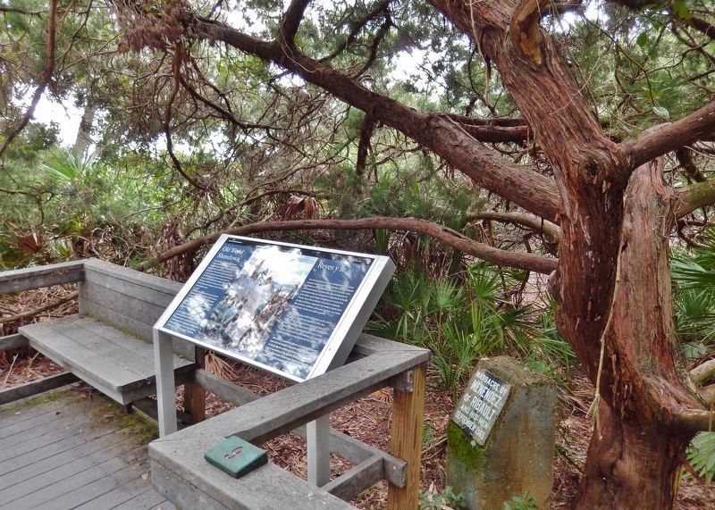
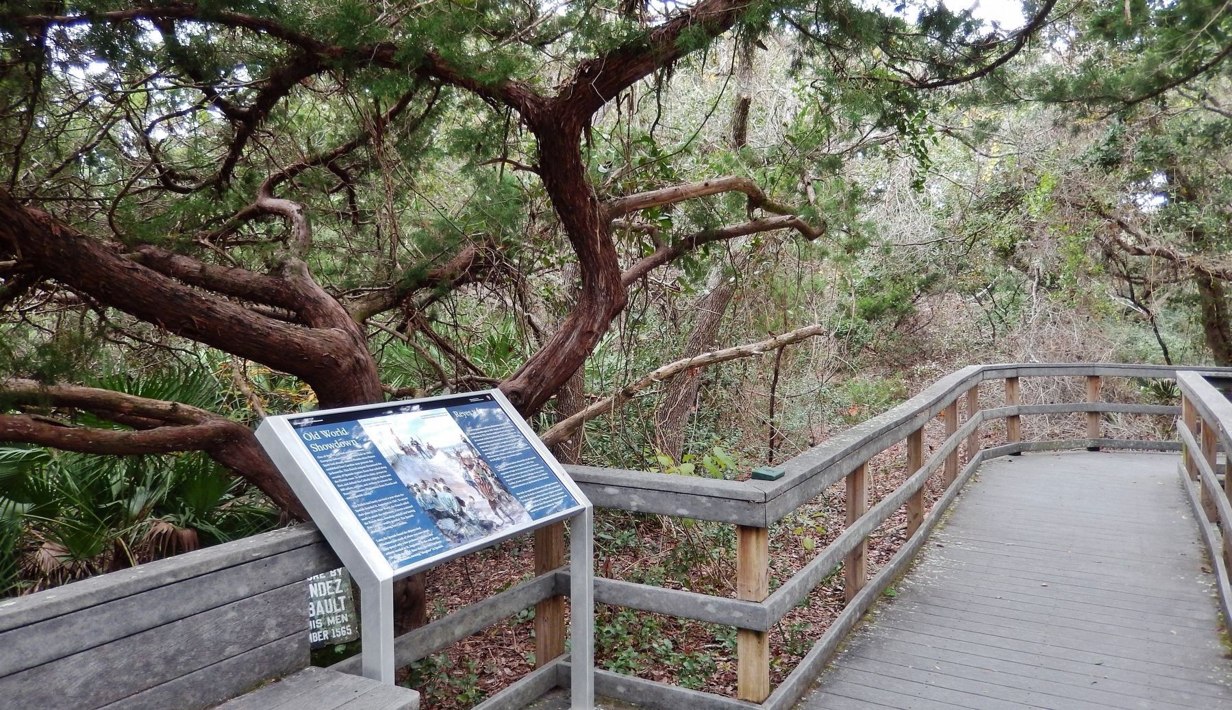
More about this marker. Marker is a large rectangular composite plaque, mounted horizontally on waist-high metal posts.
Related markers. Click here for a list of markers that are related to this marker. Fort Matanzas National Monument
Also see . . . The Massacre of the French. The European history of Fort Matanzas National Monument begins with an incident almost 200 years before the construction of the fort at Matanzas - the Spanish massacre of French forces in 1565. It took place near or possibly within the area which now makes up the monument. The incident initiated Spanish control of Florida for 235 years and led to the naming of the Matanzas River. (Submitted on December 19, 2018, by Cosmos Mariner of Cape Canaveral, Florida.)
Credits. This page was last revised on December 21, 2018. It was originally submitted on December 16, 2018, by Cosmos Mariner of Cape Canaveral, Florida. This page has been viewed 298 times since then and 16 times this year. Photos: 1, 2, 3, 4. submitted on December 19, 2018, by Cosmos Mariner of Cape Canaveral, Florida. • Bill Pfingsten was the editor who published this page.


