
Historic District in St. Augustine in St. Johns County, Florida — The American South (South Atlantic)
Government House and the Plaza
Casa Gubernamental y la Plaza
Photographed by Cosmos Mariner, December 12, 2018
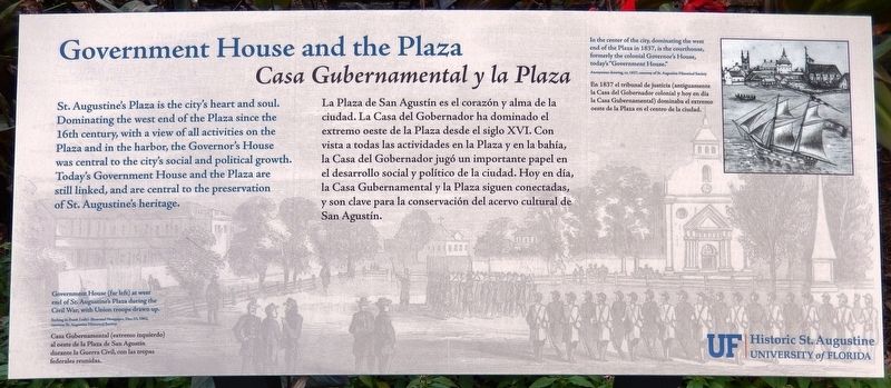
1. Government House and the Plaza Marker
(background image)
Government House (far left) at west end of St. Angustine's Plaza during the Civil War, with Union troops drawn up.
Marker background is from an etching in Frank Leslie’s Illustrated Newspaper, Dec 13, 1862,
courtesy St. Augustine Historical Society
this page online
Casa Gubernamental (extremo izquierdo) al oeste de la Plaza de San Agustín durante la Guerra Civil, con las tropas federales reunidas.
Erected by University of Florida Historic St. Augustine, Inc.
Topics. This historical marker is listed in these topic lists: Colonial Era • War, US Civil.
Location. 29° 53.546′ N, 81° 18.776′ W. Marker is in St. Augustine, Florida, in St. Johns County. It is in the Historic District. It is on St. George Street north of King Street (Business U.S. 1), on the left when traveling north. Marker is located on the grounds of the Governor's House Cultural Center and Museum, in the small courtyard near the southeast corner of the Government House, overlooking the Plaza de la Constitución. Touch for map. Marker is at or near this postal address: 48 King Street, Saint Augustine FL 32084, United States of America. Touch for directions.

Regionally, this marker is in First Coast and in Greater Jacksonville. It is also in the American South and on the Eastern Seaboard. Globally, it is in the North Atlantic Region, North America,
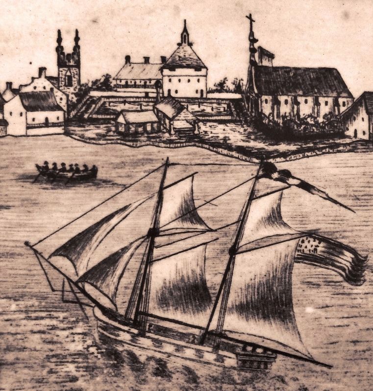
Anonymous drawing, courtesy of St. Augustine Historical Society
2. Marker detail: St. Augustine's courthouse, ca. 1837
In the center of the city, dominating the west end of the Plaza in 1837, is the courthouse, formerly the colonial Governor's House, today's “Government House.”
En 1837 el tribunal de justicia (antiguamente la Casa del Gobernador colonial y hoy en día la Casa Gubernamental) dominaba el extremo oeste de la Plaza en el centro de la ciudad.
En 1837 el tribunal de justicia (antiguamente la Casa del Gobernador colonial y hoy en día la Casa Gubernamental) dominaba el extremo oeste de la Plaza en el centro de la ciudad.
Other nearby markers. At least 8 other markers are within walking distance of this marker: Government House: National Significance (a few steps from this marker); Clerk of Court’s Office (a few steps from this marker); Governor’s House (a few steps from this marker); Balcón de los Reyes (a few steps from this marker); Government House: Legacy of Authority (a few steps from this marker); Coquina in These Walls (within shouting distance of this marker); Andrew Young Crossing (within shouting distance of this marker); 8 inch Columbiad (within shouting distance of this marker). Touch for a list and map of all markers in St. Augustine.
Regarding Government House and the Plaza. National Register of Historic Places (2013) #13000812
Related markers. Click here for a list of markers that are related to this marker. Government House, St. Augustine, Florida
Also see . . . Government House.
Photographed by Cosmos Mariner, December 12, 2018
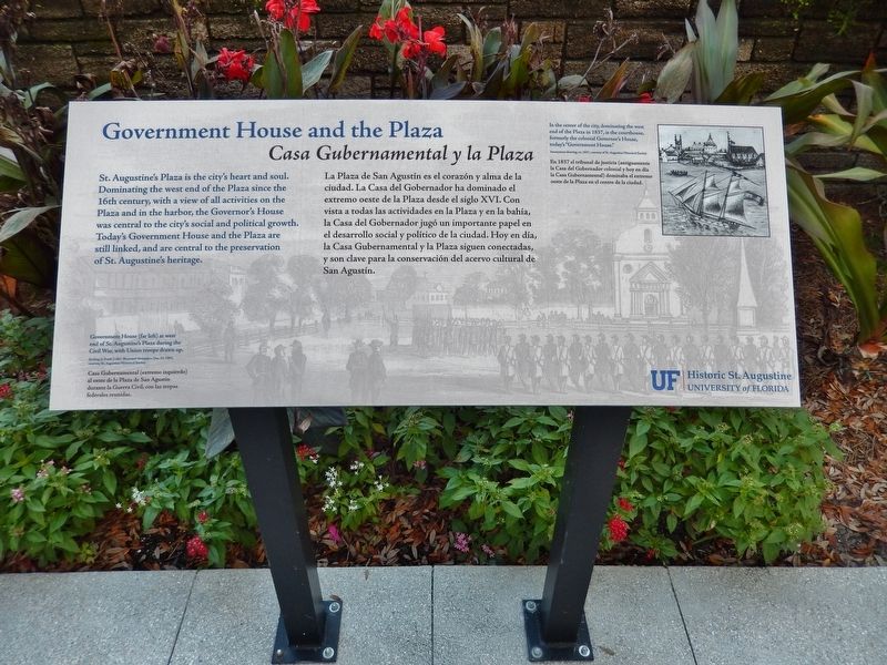
3. Government House and the Plaza Marker (tall view)
Photographed by Cosmos Mariner, December 12, 2018
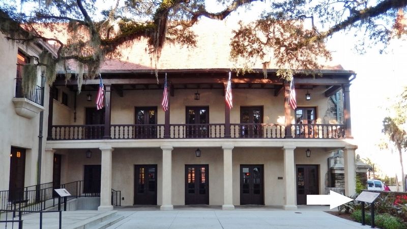
4. Government House and Plaza Marker (wide view; marker on right, overlooking St. George Street)
Photographed by Cosmos Mariner, December 12, 2018
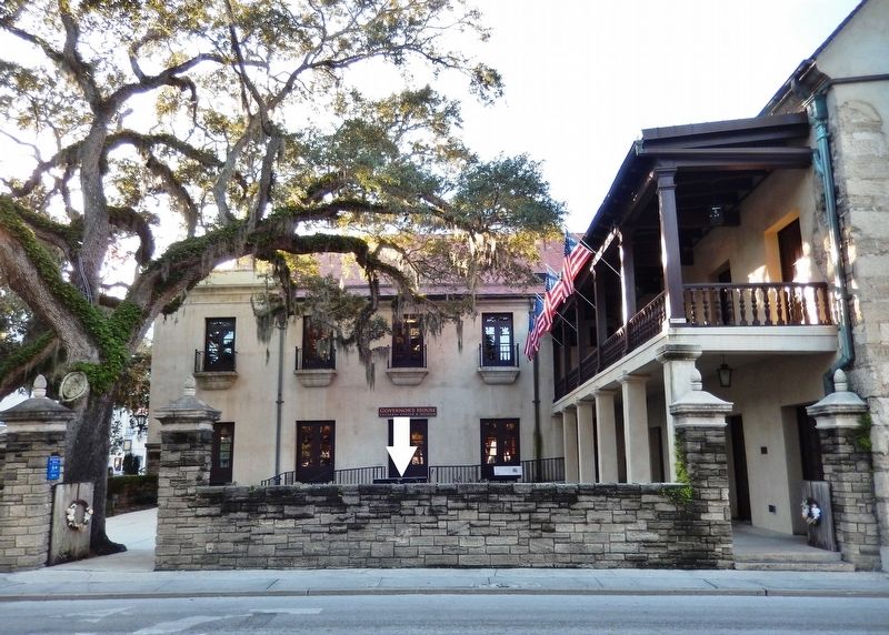
5. Government House Courtyard (wide view from St. George Street; marker top visible near center)
Photographed by Cosmos Mariner, December 12, 2018
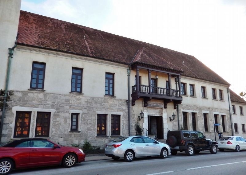
6. Government House (north side view from Cathedral Place)
Credits. This page was last revised on January 2, 2019. It was originally submitted on December 16, 2018, by Cosmos Mariner of Cape Canaveral, Florida. This page has been viewed 682 times since then and 42 times this year. Last updated on December 17, 2018, by Cosmos Mariner of Cape Canaveral, Florida. Photos: 1, 2, 3, 4, 5, 6. submitted on December 16, 2018, by Cosmos Mariner of Cape Canaveral, Florida. • Bernard Fisher was the editor who published this page.
