
Stromness in Orkney, Scotland, United Kingdom — Northwestern Europe (the British Isles)
Warehouse
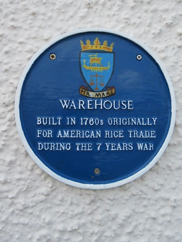
Photographed by Michael Herrick, August 29, 2018
1. Warehouse Marker
Topics. This historical marker is listed in these topic lists: Industry & Commerce • War, French and Indian • Wars, Non-US.
Location. 58° 57.823′ N, 3° 17.828′ W. Marker is in Stromness, Scotland, in Orkney. It is at the intersection of Ferry Road and Victoria Street, on the right when traveling south on Ferry Road. Touch for map. Marker is in this post office area: Stromness, Scotland KW16 3AA, United Kingdom. Touch for directions.

Regionally, this marker is on Scotland’s Orkney Islands. Globally, it is on the Atlantic Ocean, in the North Atlantic Region, in Europe, on the Celtic Fringe, in Atlantic Europe, on one of the British Isles, in the Western World, and in the Anglosphere.
Other nearby markers. At least 8 other markers are within walking distance of this marker: Dr John Rae (within shouting distance of this marker); Stromness Lifeboat Station (within shouting distance of this marker); Alexander Graham (within shouting distance of this marker); Shipwrecks of Scapa Flow
this page online
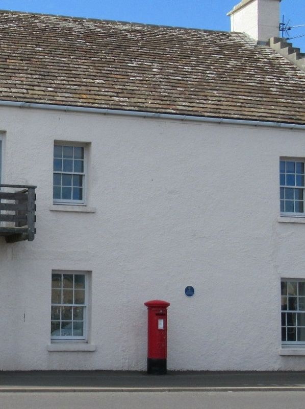
Photographed by Michael Herrick, August 29, 2018
2. Warehouse Marker
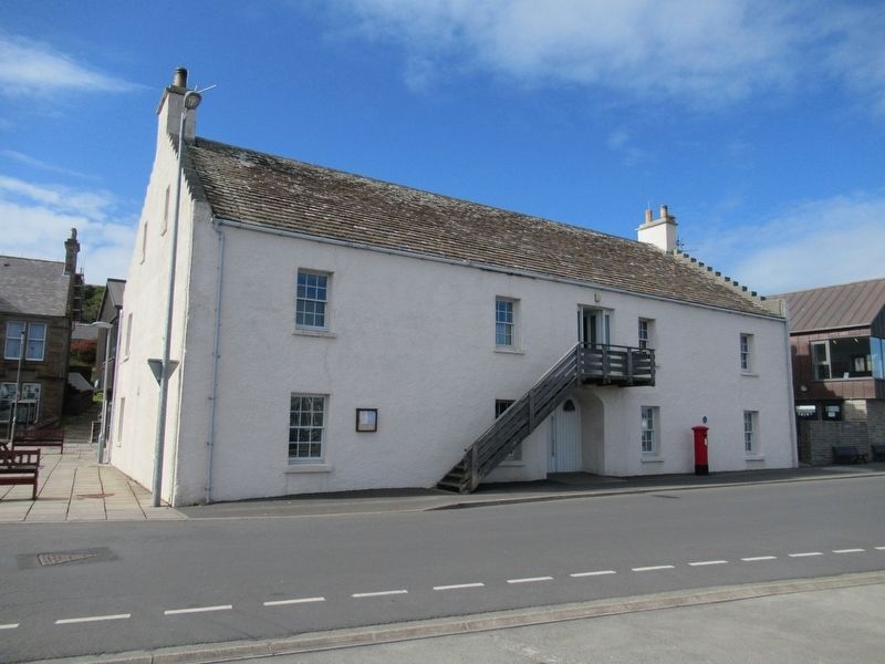
Photographed by Michael Herrick, August 29, 2018
3. Warehouse Marker
Credits. This page was last revised on January 27, 2022. It was originally submitted on December 21, 2018, by Michael Herrick of Southbury, Connecticut. This page has been viewed 207 times since then and 10 times this year. Photos: 1, 2, 3. submitted on December 21, 2018, by Michael Herrick of Southbury, Connecticut.
