Naples in Collier County, Florida — The American South (South Atlantic)
The Naples Canal
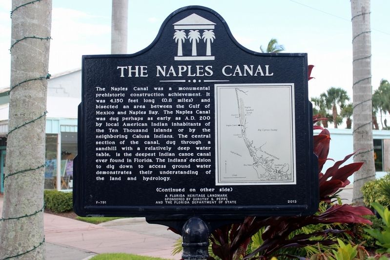
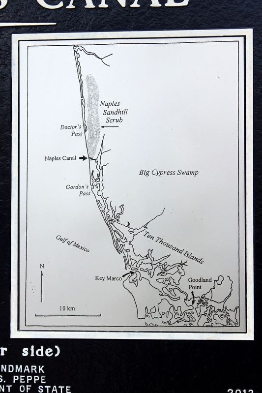
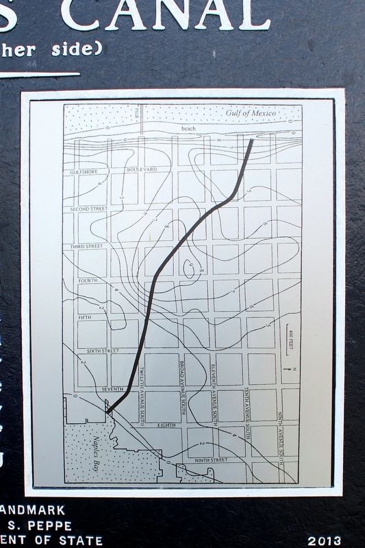
The Naples Canal was a monumental prehistoric construction achievement. It was 4,150 feet long (0.8 miles) and bisected an area between the Gulf of Mexico and Naples Bay. The Naples Canal was dug perhaps as early as A.D. 200 by local American Indian inhabitants of the Ten Thousand Islands or by the neighboring Calusa Indians. The central section of the canal, dug through a sandhill with a relatively deep water table, is the deepest Indian canoe canal ever found in Florida. The Indiansí decision to dig down to access ground water demonstrates their understanding of the land and hydrology.
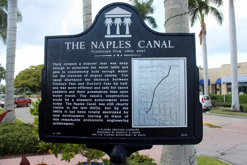
They created a channel that was deep enough to penetrate the water table and able to consistently hold enough water for the traverse of dugout canoes. The canal shortened the distance between Gordonís Pass and Doctorís Pass by half, and was more efficient and safe for canoe paddlers and their possessions than open water travel. The canalís construction would be a dramatic achievement even today. The Naples Canal was still clearly visible in the late 1800s, but by the 1960s it had been totally destroyed by land development, leaving no trace of this remarkable prehistoric engineering achievement.
Erected 2013 by Dorothy S. Peppe and the Florida Department of State. (Marker Number F-791.)
Topics. This historical marker is listed in these topic lists: Anthropology & Archaeology • Native Americans • Waterways & Vessels. A significant historical year for this entry is 200 CE.
Location. 26° 7.954′ N, 81° 47.699′ W. Marker is in Naples, Florida, in Collier County. Marker is at the intersection of 8th Street South and 12th Avenue South on 8th Street South. Touch for map. Marker is at or near this postal address: 1234 8th Street South, Naples FL 34102, United States of America. Touch for directions.
Other nearby markers. At least 8 other markers are within 11 miles of this marker, measured as the crow flies. Crayton Cove (within shouting distance of this marker); Tin City (approx. 0.6 miles away); The Naples Depot (approx. 0.7 miles away); The Naples Pier (approx. 0.7 miles away); a different marker also named The Naples Depot (approx. ĺ mile away); Rosemary Cemetery (approx. 5.4 miles away); Lester J. and Dellora A. Norris (approx. 10.9 miles away); Morris & Rose Nortman Memorial (approx. 10.9 miles away). Touch for a list and map of all markers in Naples.
Credits. This page was last revised on August 18, 2020. It was originally submitted on December 22, 2018, by Tim Fillmon of Webster, Florida. This page has been viewed 459 times since then and 71 times this year. Photos: 1, 2, 3, 4, 5. submitted on December 22, 2018, by Tim Fillmon of Webster, Florida. • Andrew Ruppenstein was the editor who published this page.
