National Harbor in Fort Washington in Prince George's County, Maryland — The American Northeast (Mid-Atlantic)
Potomac Fisheries
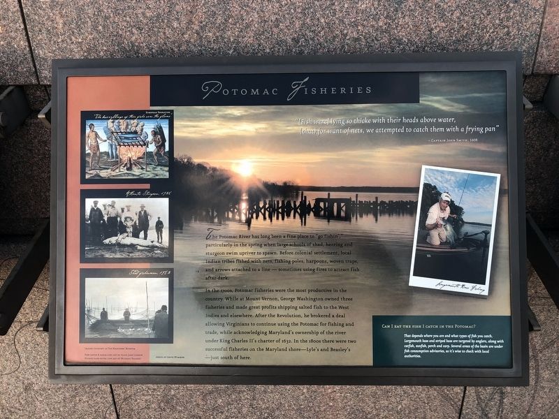
-Captain John Smith, 1608
The Potomac River has long been a fine place to "go fishin'," particularly in the spring when large schools of shad, herring and sturgeon swim upriver to spawn. Before colonial settlement, local Indian tribes fished with nets, fishing poles, harpoons, woven traps, and arrows attached to a line — sometimes using fires to attract fish after dark.
In the 1700s, Potomac fisheries were the most productive in the country. While at Mount Vernon, George Washington owned three fisheries and made great profits shipping salted fish to the West Indies and elsewhere. After the Revolution, he brokered a deal allowing Virginians to continue using the Potomac for fishing and trade, while acknowledging Maryland's ownership of the river under King Charles II's charter of 1632. In the 1800s there were two successful fisheries on the Maryland shore—Lyle's and Beasley's—just south of here.
Can I eat the fish I catch in the Potomac?
That depends on where you are and what types
this page online
Topics. This historical marker is listed in these topic lists: Animals • Colonial Era • Industry & Commerce • Waterways & Vessels. A significant historical year for this entry is 1608.
Location. 38° 47.565′ N, 77° 1.467′ W. Marker is in Fort Washington, Maryland, in Prince George's County. It is in the National Harbor. It can be reached from Capital Beltway (Interstate 95) west of National Harbor Boulevard, on the right when traveling east. Touch for map. Marker is in this post office area: Oxon Hill MD 20745, United States of America. Touch for directions.

Regionally, this marker is in the Washington Metropolitan Area. It is also in the American South, specifically in the Upper South, in the Mid-Atlantic, and on the Eastern Seaboard. Globally, it is in the North Atlantic Region, North America, the Western Hemisphere, the Western World, and the Anglosphere. Historically, it finds
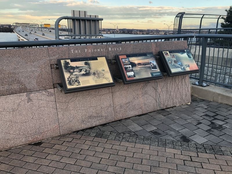
Other nearby markers. At least 8 other markers are within walking distance of this marker: The Nation's River (here, next to this marker); Working to Improve the River (here, next to this marker); Bladensburg (a few steps from this marker); Neighbor to the Nation's Capital (a few steps from this marker); The Founding of Maryland (a few steps from this marker); The Tobacco Economy (a few steps from this marker); The Growth of the Black Middle Class (a few steps from this marker); College Park (a few steps from this marker). Touch for a list and map of all markers in Fort Washington.
Credits. This page was last revised on March 3, 2023. It was originally submitted on December 23, 2018, by Devry Becker Jones of Washington, District of Columbia. This page has been viewed 484 times since then and 17 times this year. Photos: 1, 2. submitted on December 23, 2018, by Devry Becker Jones of Washington, District of Columbia. • Bill Pfingsten was the editor who published this page.
