Old Town in Alexandria, Virginia — The American South (Mid-Atlantic)
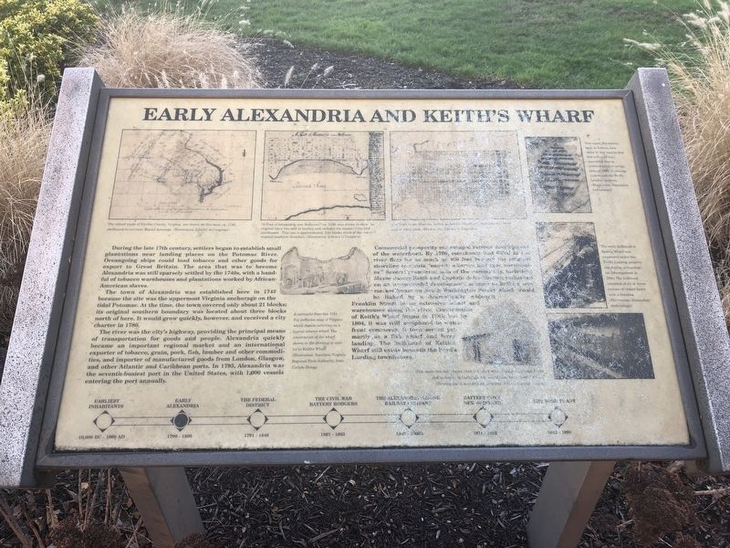
Early Alexandria and Keith's Wharf

Photographed By Devry Becker Jones (CC0), December 22, 2018
1. Early Alexandria and Keith's Wharf Marker
The town of Alexandria was established here in 1749 because the site was the uppermost Virginia anchorage on the tidal Potomac. At the time, the town covered only about 21 blocks; its original southern boundary was located about three blocks north of here. It would grow quickly, however, and received a city charter in 1780.
The river was the city's highway, providing the principal means of transportation for goods and people. Alexandria quickly became an important regional market and an international exporter of tobacco, grain, pork, fish, lumber and other commodities, and importer of manufactured goods from London, Glasgow, and other Atlantic and Caribbean ports. In 1795, Alexandria was the seventh-busiest port in the United States, with 1,000 vessels entering the port annually.
Commercial prosperity encouraged further development of the waterfront. By 1790, merchants had [unreadable] river flats for as much as 100 feet [unreadable] shoreline [unreadable]. Several prominent men of the [unreadable] Mayor James Keith and Captain John [unreadable] on an unsuccessful development [unreadable] markethouse on South Washington Street which would be linked by a dramatically widened Franklin Street to be an extensive wharf and warehouses along the river. Conservation of Keith's Wharf began in 1785, but by 1804, it was still peripheral to waterfront commerce. It then served primarily as a fish wharf and ferry landing. The bulkhead of Keith's Wharf still exists beneath the Ford's Landing townhouses.
Topics. This historical marker is listed in these topic lists: Colonial Era • Industry & Commerce • Settlements & Settlers • Waterways & Vessels. A significant historical year for this entry is 1749.
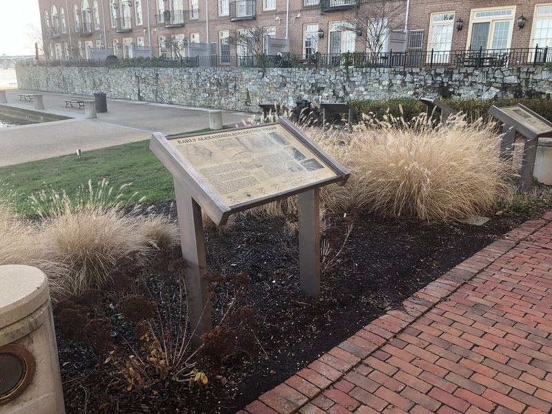
Location. 38° 47.816′ N, 77° 2.412′ W. Marker has been reported unreadable. Marker is in Alexandria, Virginia. It is in Old Town. Marker can be reached from Wharf Street east of Ford's Landing Way, on the right when traveling west. Touch for map. Marker is at or near this postal address: 15 Wharf Street, Alexandria VA 22314, United States of America. Touch for directions.
Other nearby markers. At least 8 other markers are within walking distance of this location. The Federal District and Alexandria (here, next to this marker); The Civil War and Battery Rodgers (here, next to this marker); The Alexandria Marine Railway (here, next to this marker); Battery Cove Filled: A New Shipyard

Photographed By Devry Becker Jones (CC0), December 22, 2018
2. Early Alexandria and Keith's Wharf Marker
Credits. This page was last revised on January 28, 2023. It was originally submitted on December 23, 2018, by Devry Becker Jones of Washington, District of Columbia. This page has been viewed 424 times since then and 41 times this year. Photos: 1, 2. submitted on December 23, 2018, by Devry Becker Jones of Washington, District of Columbia. • Bill Pfingsten was the editor who published this page.