
Near Brookston in Lamar County, Texas — The American South (West South Central)
Smiley-Woodfin Native Prairie Grassland

Photographed by Gary Estep, May 17, 2026
1. Smiley-Woodfin Native Prairie Grassland Marker
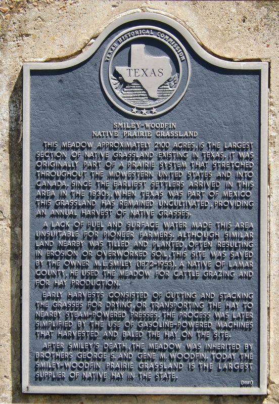
A lack of fuel and surface water made this area unsuitable for pioneer farmers. Although similar land nearby was tilled and planted, often resulting in erosion or overworked soil, this site was saved by the owner M.L. Smiley (1872-1953). A native of Lamar County, he used the meadow for cattle grazing and for hay production.
Early harvests consisted of cutting and stacking the grasses for drying, or transporting the hay to nearby steam-powered presses. The process was later simplified by the use of gasoline-powered machines that harvested and baled the hay on the site.
After Smiley's death, the meadow was inherited by brothers George S. and Gene M. Woodfin. Today the Smiley-Woodfin Prairie Grassland is the largest supplier
this page online
Erected 1981 by Texas Historical Commission. (Marker Number 8227.)
Topics. This historical marker is listed in these topic lists: Agriculture • Environment • Notable Places • Settlements & Settlers. A significant historical year for this entry is 1872.
Location. 33° 38.552′ N, 95° 42.405′ W. Marker is near Brookston, Texas, in Lamar County. It is on U.S. 82 half a mile west of Farm to Market Road 38, on the right when traveling west. Marker is located in a pull-out on the north side of the highway. Touch for map. Marker is in this post office area: Brookston TX 75421, United States of America. Touch for directions.

Regionally, this marker is in the American South and in the Piney Woods. Globally, it is in North America, a Gulf of Mexico state, the Western Hemisphere, the Western World, and the Anglosphere. Historically, it finds itself in what was once New Spain, the Republic of Texas, one of the Confederate States of America, and the Antebellum South.
Other nearby markers. At least 8 other markers are within 9 miles of this marker, measured as the crow flies: Tridens Prairie
Photographed by Cosmos Mariner, May 13, 2016
2. Smiley-Woodfin Native Prairie Grassland Marker
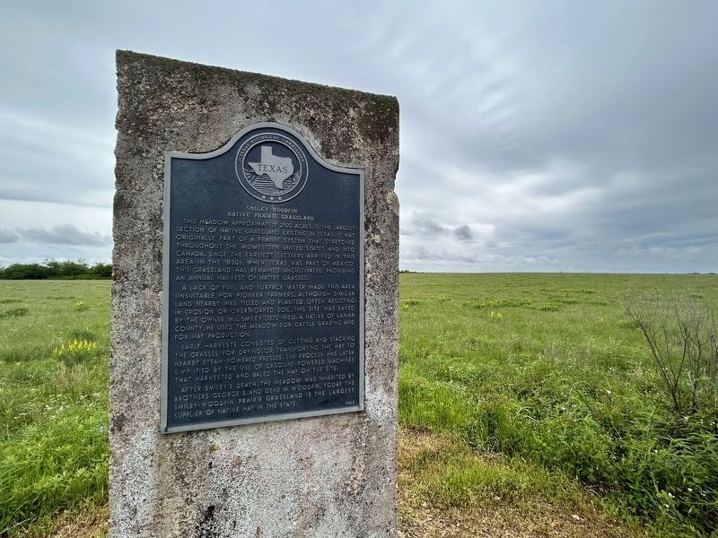
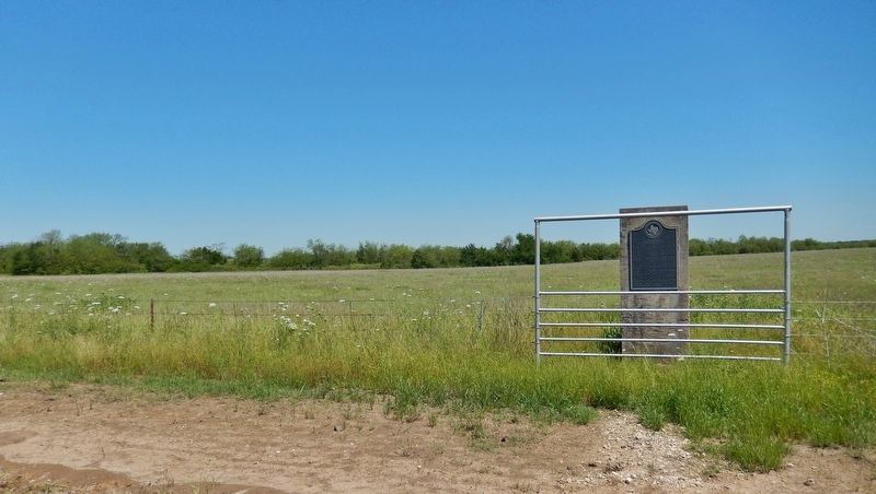
More about this marker. Marker is a large metal plaque, mounted vertically on a 5-foot tall concrete post.
Photographed by Morgan Petermann, April 23, 2023
3. Smiley-Woodfin Native Prairie Grassland Marker
This hoto is taken facing north. The marker is in the foreground with the grassland in the background.
Photographed by Cosmos Mariner, May 13, 2016
4. Smiley-Woodfin Native Prairie Grassland Marker (wide view)
Credits. This page was last revised on May 17, 2026. It was originally submitted on January 6, 2019, by Cosmos Mariner of Cape Canaveral, Florida. This page has been viewed 6,895 times since then and 499 times this year. Photos: 1. submitted on May 17, 2026, by Gary Estep of Anna, Texas. 2. submitted on January 6, 2019, by Cosmos Mariner of Cape Canaveral, Florida. 3. submitted on April 24, 2023, by Morgan Petermann of Hurst, Texas. 4. submitted on January 6, 2019, by Cosmos Mariner of Cape Canaveral, Florida. • Andrew Ruppenstein was the editor who published this page.
