Brookneal in Campbell County, Virginia — The American South (Mid-Atlantic)
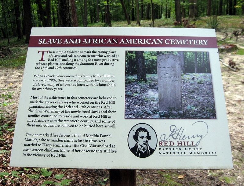
Slave and African American Cemetery
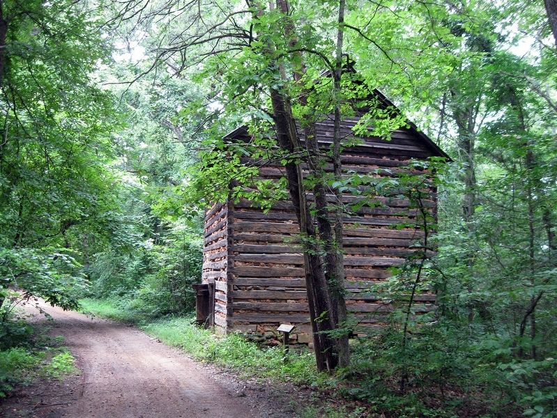
When Patrick Henry moved his family to Red Hill in the early 1790s, they were accompanied by a number of slaves, many of who had been with his household for over thirty years.
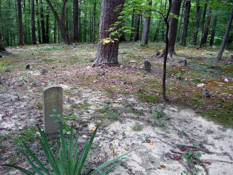
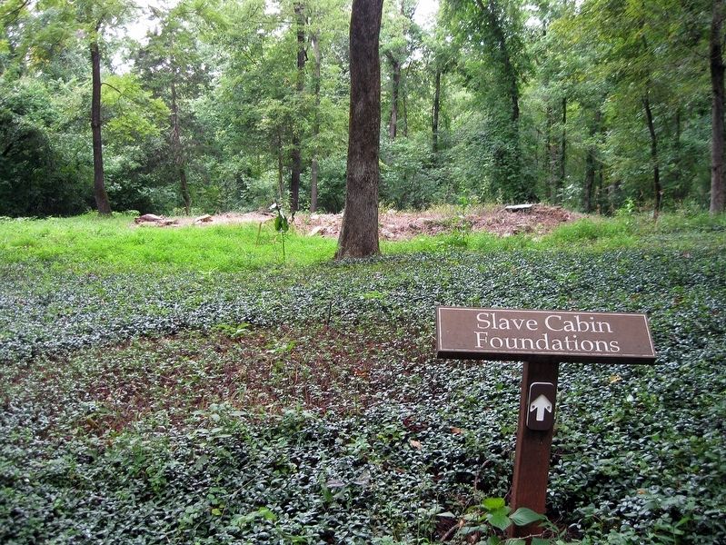
Most of the fieldstones in this cemetery are believed to mark the graves of slaves who worked on the Red Hill plantation during the 18th and 19th centuries. After the Civil War, many of the newly freed slaves and their families continued to reside and work at Red Hill as hired laborers into the twentieth century, and some of these individuals are believed to be buried here as well.
The one marked headstone is that of Matilda Pannel. Matilda, whose maiden name is lost to time, was married to Harry Pannel after the Civil War and had at least sixteen children. Many of her descendants still live in the vicinity of Red Hill.
Erected by Red Hill, Patrick Henry Memorial Foundation.
Topics. This historical marker is listed in these topic lists: African Americans • Cemeteries & Burial Sites • Colonial Era • War, US Civil.
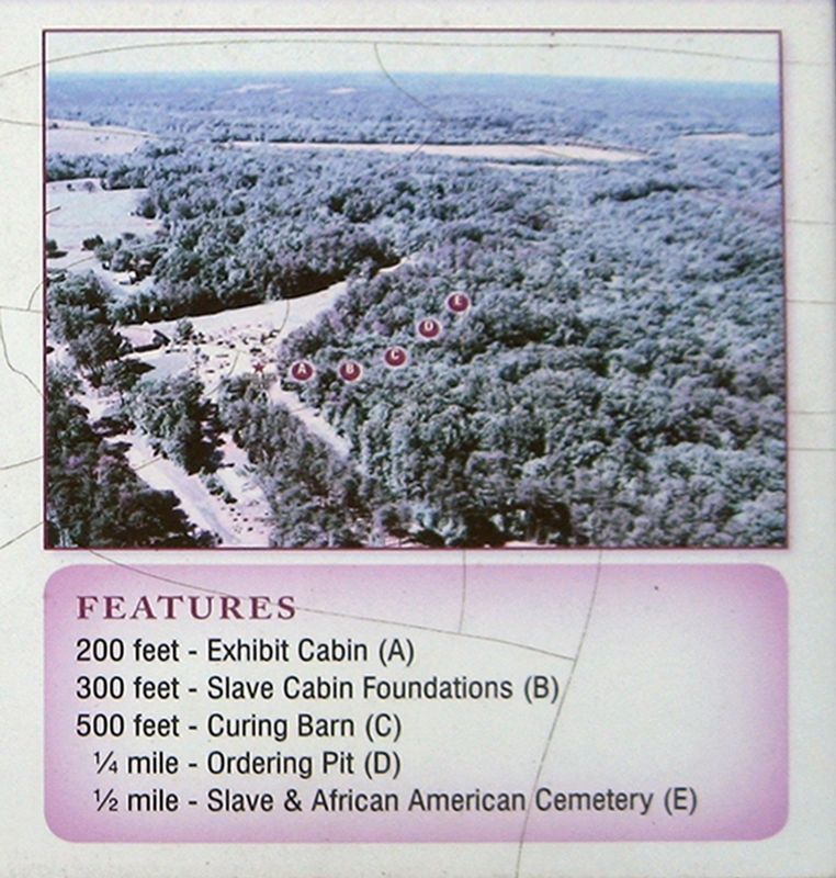
Location. 37° 2.032′ N, 78° 53.918′ W. Marker is in Brookneal, Virginia, in Campbell County. Marker can be reached from Red Hill Road (County Route 677) one mile Staunton Hill Road (County Route 619), on the right when traveling south. The Quarter Place Trail head is north of the parking lot and and 50 ft west of the Patrick Henry bust in the Commonwealth Courtyard. Follow the trail for ½ mile to its terminus at the Slave and African American Cemetery. Touch for map. Marker is at or near this postal address: 1250 Red Hill Rd, Brookneal VA 24528, United States of America. Touch for directions.
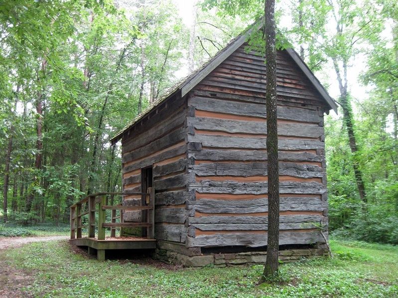
Other nearby markers. At least 8 other markers are within walking distance of this marker. Quarter Place Trailhead (within shouting distance of this marker); Red Hill (within shouting distance of this marker); a different marker also named Red Hill (within shouting distance of this marker); Henry Family Graveyard (about 500 feet away, measured in a direct line); Last Law Office of Patrick Henry (about 600 feet away); Osage Orange Tree (about 600 feet away); Patrick Henry House (about 600 feet away); Slave Cabin (about 700 feet away). Touch for a list and map of all markers in Brookneal.
Also see . . . Red Hill Patrick Henry Memorial Foundation. (Submitted on January 16, 2019, by David Lassman of Waldorf, Maryland.)
Credits. This page was last revised on January 16, 2019. It was originally submitted on January 16, 2019, by David Lassman of Waldorf, Maryland. This page has been viewed 423 times since then and 28 times this year. Photos: 1, 2, 3, 4, 5, 6. submitted on January 16, 2019, by David Lassman of Waldorf, Maryland. • Bernard Fisher was the editor who published this page.
