
Tejutla, San Marcos, Guatemala — Central America
350th Anniversary of Founding of Santiago Tejutla
Photographed by J. Makali Bruton, December 28, 2018
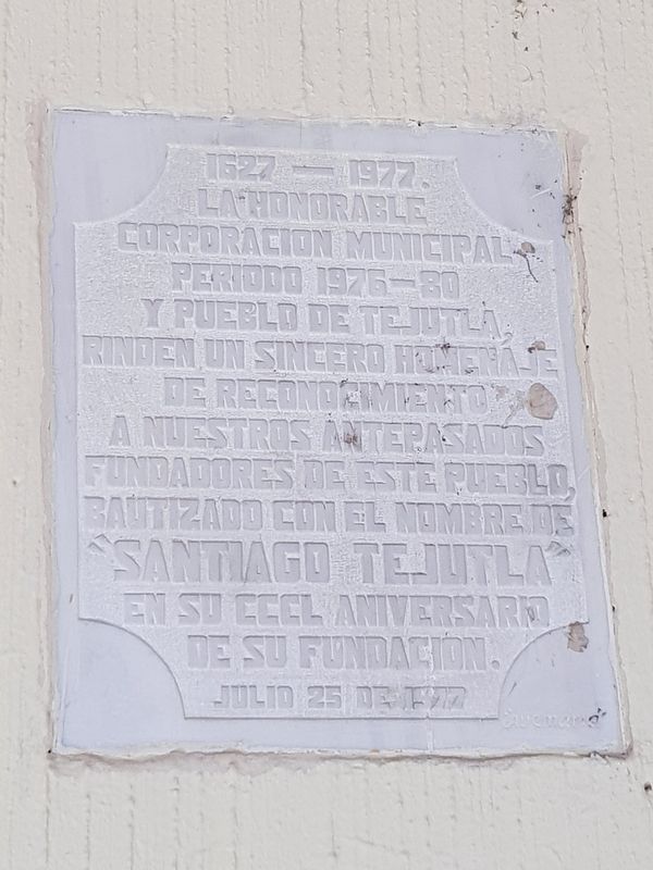
1. 350th Anniversary of Founding of Santiago Tejutla Marker

1627-1977.
La Honorable Corporacion Municipal periodo 1976-1980 y pueblo de Tejutla, rinden un sincero homenaje de reconocimiento a nuestros antepasados fundadores de este pueblo, bautizado con el nombre de “Santiago Tejutla” en su CCCL Aniversario de su fundación.
Julio 25 de 1977
1627-1977
The Honorable Municipal Corporation for the period 1976-1980 and the people of Tejutla, pay a sincere tribute to our founding ancestors of this town, baptized with the name of "Santiago Tejutla" in the 350th Anniversary of its foundation.
July 25, 1977
Erected 1977 by La Honorable Corporación Municipal 1976-1980 y pueblo de Tejutla.
Topics. This historical marker is listed in these topic lists: Colonial Era • Man-Made Features • Settlements & Settlers. A significant historical date for this entry is July 25, 1977.
Location. 15° 7.354′ N, 91° 48.319′ W. Marker is in Tejutla, San Marcos. It is on 1a calle. The marker is on the Palacio Municipal of Tejutla, just east of the central park. Touch for map. Marker is in this post office area: Tejutla, San Marcos 12010, Guatemala. Touch for directions.

Regionally,
this page online
Other nearby markers. At least 8 other markers are within 18 kilometers of this marker, measured as the crow flies: The Liberal Revolution and General Barrios (within shouting distance of this marker); The Roppe Hospital and Solidarity Dispensary (approx. 0.3 kilometers away); Monument to Barrios (approx. 11.6 kilometers away); Birthplace of General Justo Rufino Barrios (approx. 12 kilometers away); Centenary Park San Lorenzo (approx. 12.5 kilometers away); Mountains and Volcanoes of Guatemala (approx. 17 kilometers away); Carlos Castillos Armas (approx. 17.4 kilometers away); Adolfo V. Hall R. (approx. 17.4 kilometers away). Touch for a list and map of all markers in Tejutla.

Photographed by J. Makali Bruton, December 28, 2018
2. 350th Anniversary of Founding of Santiago Tejutla Marker
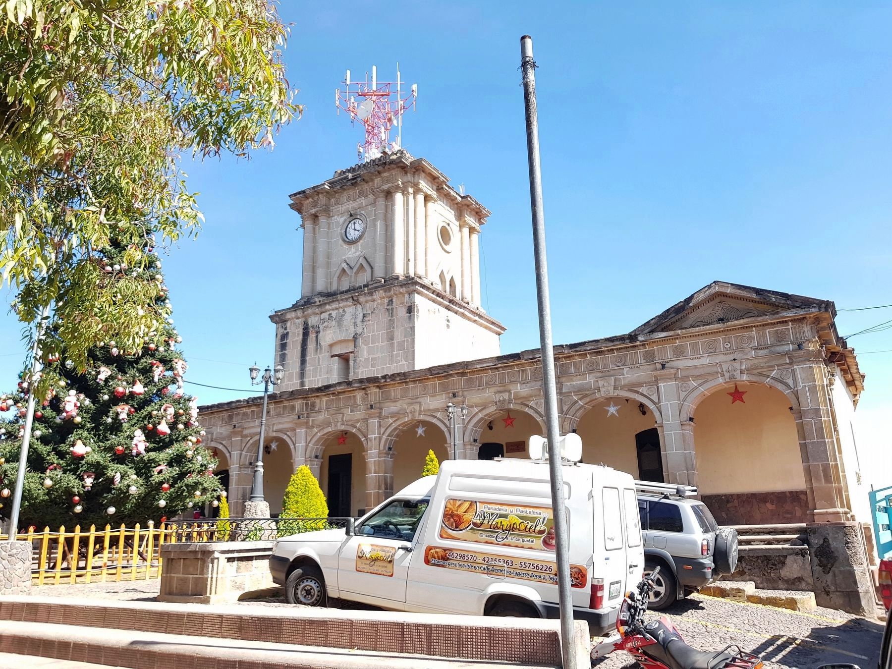
The marker can be seen in the corridor of the Tejutla City Hall (Palacio Municipal).
Photographed by J. Makali Bruton, December 28, 2018
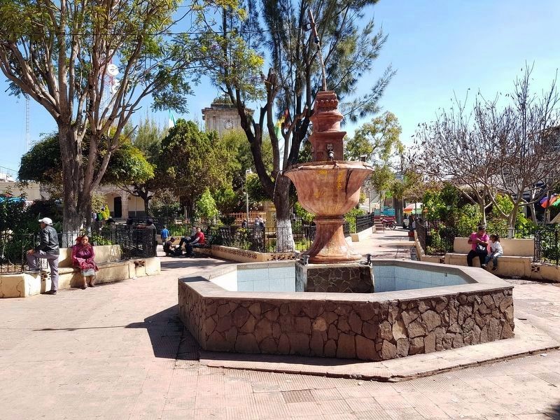
3. The central park of Tejutla and its fountain
Photographed by J. Makali Bruton, December 28, 2018
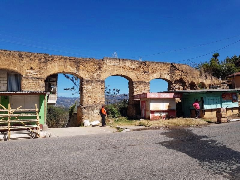
4. Remains of a Colonial-era aqueduct some 3.5 km south of the Tejutla town center
Photographed by J. Makali Bruton, December 28, 2018
5. Santiago Tejutla City Hall (Palacio Municipal)
Credits. This page was last revised on January 20, 2019. It was originally submitted on January 19, 2019, by J. Makali Bruton of Washington, District of Columbia. This page has been viewed 282 times since then and 24 times this year. Photos: 1, 2, 3, 4, 5. submitted on January 19, 2019, by J. Makali Bruton of Washington, District of Columbia.
