Near Scotland in St. Mary's County, Maryland — The American Northeast (Mid-Atlantic)
Prison Pen
Point Lookout State Park
| — | Maryland Park Service | — |
Photographed by Pete Payette, June 19, 2017
1. Prison Pen Marker
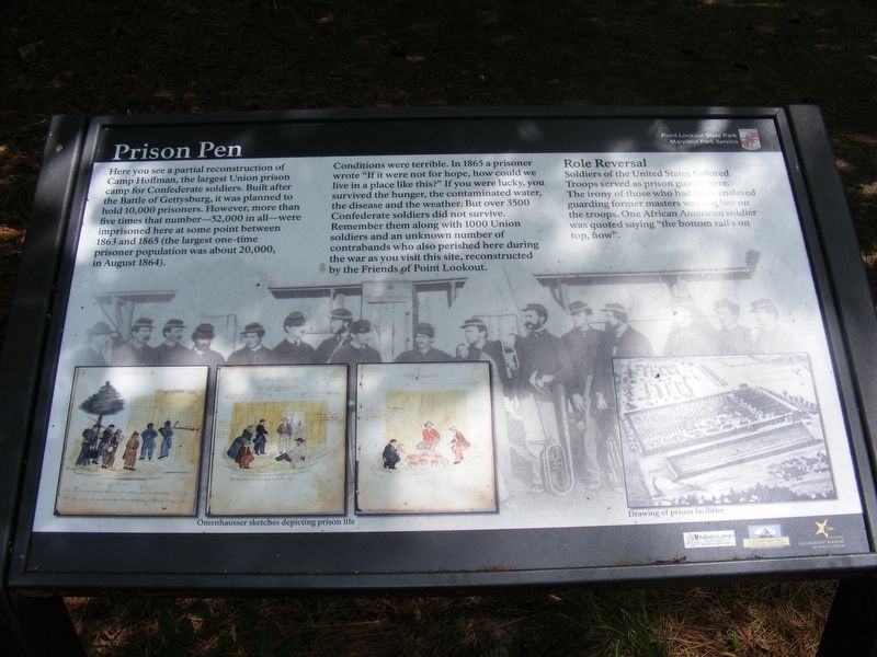
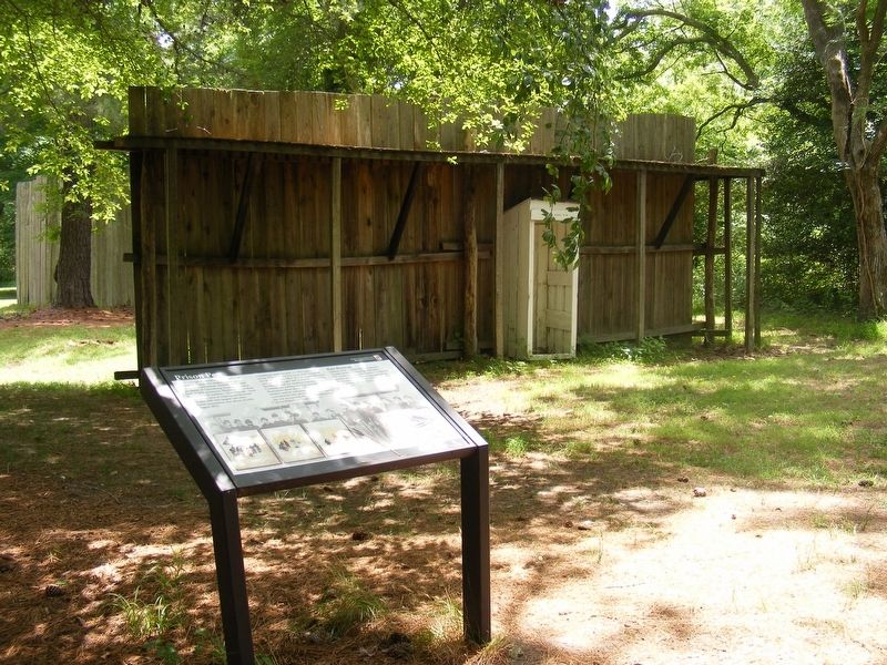
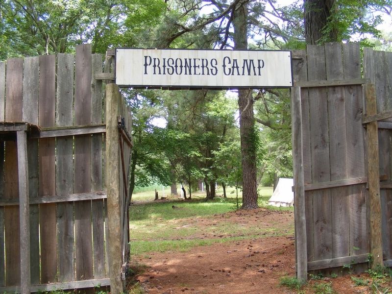
Here you see a partial reconstruction of Camp Hoffman, the largest Union prison camp for Confederate soldiers. Built after the Battle of Gettysburg, it was planned to hold 10,000 prisoners. However, more than five times that number—52,000 in all—were imprisoned here at some point between 1863 and 1865 (the largest one-time prisoner population was about 20,000, in August 1864).
Conditions were terrible. In 1865 a prisoner wrote "If it were not for hope, how could we live in a place like this?" If you were lucky, you survived the hunger, the contaminated water, the disease and the weather. But over 3500 Confederate soldiers did not survive. Remember them along with 1000 Union soldiers and an unknown number of contrabands who also perished here during the war as you visit this site, reconstructed by the Friends of Point Lookout.
Role Reversal
Soldiers of the United States Colored Troops served as prison guards here. The irony of those who had been enslaved guarding former masters was not lost on the troops. One African-American soldier was quoted saying "the bottom rail's on top, now".
Erected by Maryland Park
this page online
Topics. This historical marker is listed in these topic lists: Abolition & Underground RR • African Americans • War, US Civil.
Location. This marker has been replaced by another marker nearby. It was located near 38° 2.942′ N, 76° 19.464′ W. Marker was near Scotland, Maryland, in St. Mary's County. It could be reached from Point Lookout Road (Maryland Route 5) south of Scotland Beach Road (Route 2.2), on the right when traveling south. Located between Fort Lincoln and Point Lookout Road. Touch for map. Marker was in this post office area: Scotland MD 20687, United States of America. Touch for directions.

Regionally, this marker was in Southern Maryland. It was also in the American South, specifically in the Upper South, in the Mid-Atlantic, in the Tidewater, in the Chesapeake Bay Region, and on the Eastern Seaboard. Globally, it was in the North Atlantic Region, North America, the Western Hemisphere, the Western World, and the Anglosphere. Historically, it found itself in what was once one of the original
Photographed by Pete Payette, June 19, 2017
2. Prison Pen Marker
Other nearby markers. At least 8 other markers are within walking distance of this location: Prisoners of War at Point Lookout (here, next to this marker); Point Lookout Prison, 1863-1865 (within shouting distance of this marker); The Prison Sutler (within shouting distance of this marker); The Post Office at Camp Hoffman (within shouting distance of this marker); United States Colored Troops (about 300 feet away, measured in a direct line); The 5th Massachusetts Colored Cavalry (about 300 feet away); The Veteran Reserve Corps (about 300 feet away); Point Lookout Prisoner-of-War Camp (about 400 feet away). Touch for a list and map of all markers in Scotland.
Also see . . . Point Lookout State Park. Maryland Department of Natural Resources website entry (Submitted on June 26, 2017.)
Photographed by Pete Payette, June 19, 2017
3. Prison Pen
Photographed by Pete Payette, June 19, 2017
4. Prison Pen
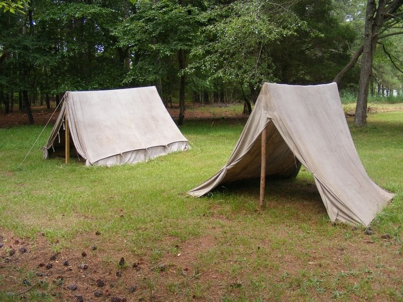
Photographed by Pete Payette, June 19, 2017
5. Prison Pen
Prisoners only had tents like this for protection from the sun and weather. The ground would have been bare dirt or mud. There were no trees for shade.
Credits. This page was last revised on April 13, 2026. It was originally submitted on June 26, 2017, by Pete Payette of Orange, Virginia. This page has been viewed 578 times since then and 31 times this year. Last updated on January 21, 2019, by Devry Becker Jones of Washington, District of Columbia. Photos: 1, 2, 3, 4, 5. submitted on June 26, 2017, by Pete Payette of Orange, Virginia. • Andrew Ruppenstein was the editor who published this page.
