Near Pateros in Okanogan County, Washington — The American West (Northwest)
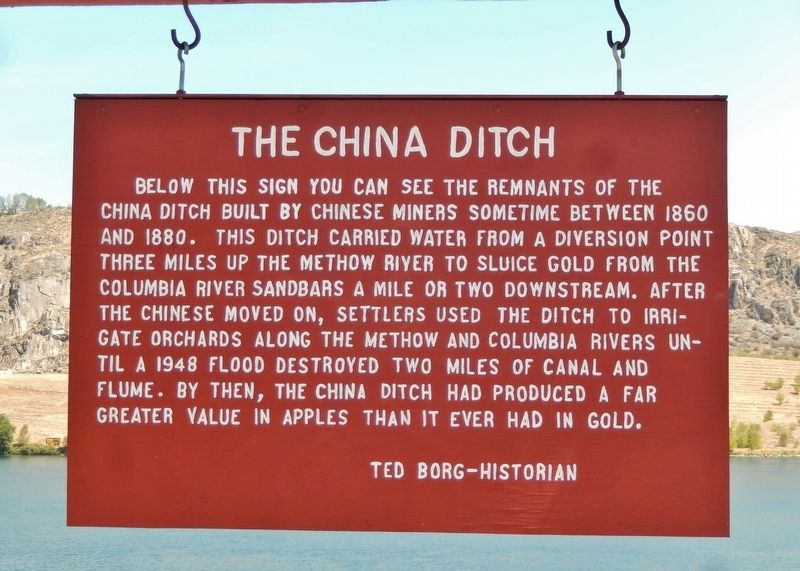
The China Ditch
Erected by Okanogan County Historical Society.
Topics. This historical marker is listed in these topic lists: Agriculture • Asian Americans • Immigration • Industry & Commerce • Settlements & Settlers • Waterways & Vessels.
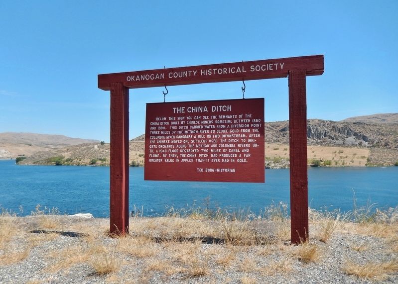
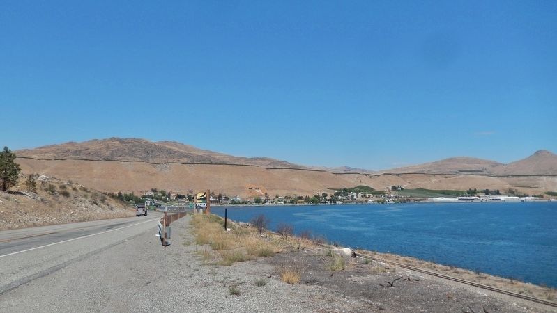
Location. 48° 2.594′ N, 119° 53.832′ W. Marker is near Pateros, Washington, in Okanogan County. Marker is on U.S. 97, 0.4 miles south of Methow Valley Highway (State Highway 153), on the right when traveling north. Marker is located in a pull-out on the east side of the highway, overlooking the Columbia River. Touch for map. Marker is in this post office area: Pateros WA 98846, United States of America. Touch for directions.
Other nearby markers. At least 6 other markers are within 16 miles of this marker, measured as the crow flies. Ive's Landing Hotel (approx. 0.6 miles away); Pateros in the 1950's (approx. 0.7 miles away); Methow Indians (approx. 0.7 miles away); Wells Dam Construction (approx. 0.7 miles away); Pateros Veterans (approx. 0.7 miles away); St. Andrews Episcopal Church (approx. 15.2 miles away).
More about this marker. This is a large painted wooden "bill-board" style marker, suspended from a heavy wooden frame.
Also see . . .
1. Pre-1900s Chinese placer mining in northeastern Washington State. “China Ditch” (aka Pateros China Ditch, Starr Ditch, or Ellingsworth Ditch) is an example of Chinese labor practices and was constructed near the confluence of the Methow and Columbia Rivers by Chinese placer miners sometime around 1860. The Chinese built a small dam on the Methow River at the beginning of their ditch, which ran along the western edge of the river for about three miles, and continued down the Columbia River for about two miles to their placer operations at China Gold Bar. The head gate and flumes of the ditch were constructed of rough whipsawed lumber and lined with clay; the ditch was mostly constructed by hand, while in some cases dynamite, or other explosive substance,
was used to blast the rocks. (Submitted on January 22, 2019, by Cosmos Mariner of Cape Canaveral, Florida.)
2. Okanogan County — Thumbnail History. At one time, all of today's Okanogan County was an Indian Reservation. But miners and settlers lobbied the government relentlessly until the reservation was reduced in 1886 to the contemporary Colville Indian Reservation. Once Indian title to most of the Okanogan area had been extinguished in 1886, miners were free to exploit the gold and silver there. The ensuing mining boom saw the founding many towns and camps, and the construction of some substantial mines and stamping mills. (Submitted on January 22, 2019, by Cosmos Mariner of Cape Canaveral, Florida.)
Credits. This page was last revised on January 8, 2024. It was originally submitted on January 22, 2019, by Cosmos Mariner of Cape Canaveral, Florida. This page has been viewed 1,011 times since then and 110 times this year. Photos: 1, 2, 3. submitted on January 22, 2019, by Cosmos Mariner of Cape Canaveral, Florida. • Andrew Ruppenstein was the editor who published this page.


