Near Entiat in Chelan County, Washington — The American West (Northwest)
Earthquake Point
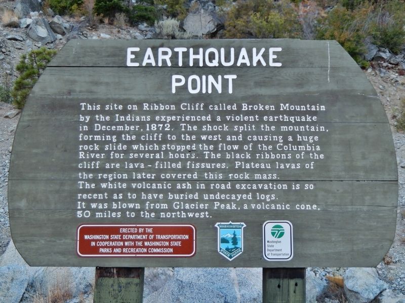
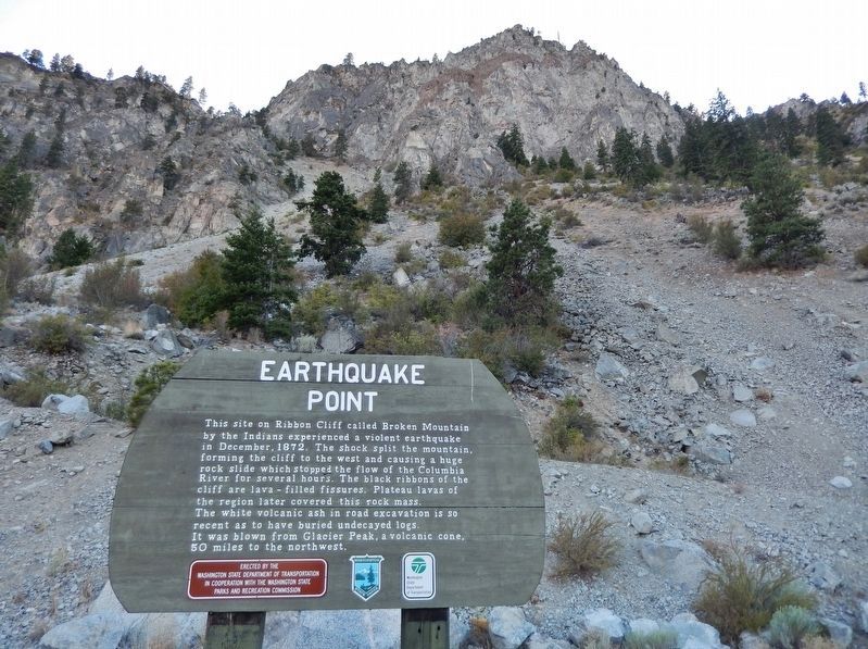
The white volcanic ash in road excavation is so recent as to have buried undecayed logs. It was blown from Glacier Peak, a volcanic cone, 50 miles to the northwest.
Erected by Washington State Department of Transportation and Washington State Parks and Recreation Commission. (Marker Number 26.)
Topics. This historical marker is listed in these topic lists: Landmarks • Native Americans • Notable Events • Notable Places. A significant historical month for this entry is December 1872.
Location. 47° 42.904′ N, 120° 13.35′ W. Marker is near Entiat, Washington, in Chelan County. Marker is on U.S. 97A, one mile north of North Lakeshore Drive, on the left when traveling north. Marker is located in a large pull-out on the west side of the highway. Touch for map. Marker is in this post office area: Entiat WA 98822, United States of America. Touch for directions.
Other nearby markers. At least 1 other marker is within 13 miles of this marker, measured as the crow flies. St. Andrews Episcopal Church (approx. 12.8 miles away).
More about this marker. This is a large, painted wooden "billboard-style" marker, mounted on heavy-duty wooden posts.
Also see . . . The 1872 North Cascades Earthquake. Moses Splawn, the Yakima pioneer who discovered gold in the Boise basin in 1861, came over the Wenatchee mountains on horseback when he was 85 years of age. This is the story he told of the earthquake: "When I got to Entiat I found the Indians were all excited. The mountain north of Entiat had slid down and damned the Columbia for a short time but there was something strange and wonderful which had occurred up the hogback east of the Columbia. I climbed the mountain with the Indians and there near the summit were two cracks in the earth. Deep down in the earth every five minutes there was an explosion like the shot of a cannon and out of the cracks in the earth a dark fluid was oozing which hardened as it ran down the mountain side and cooled. I took some of that dark material and had it analyzed and the analysis showed that it was oil." (Submitted on January 28, 2019, by Cosmos Mariner of Cape Canaveral, Florida.)
Credits. This page was last revised on October 14, 2020. It was originally submitted on January 27, 2019, by Cosmos Mariner of Cape Canaveral, Florida. This page has been viewed 1,664 times since then and 277 times this year. Photos: 1. submitted on January 27, 2019, by Cosmos Mariner of Cape Canaveral, Florida. 2, 3, 4. submitted on January 28, 2019, by Cosmos Mariner of Cape Canaveral, Florida. • Andrew Ruppenstein was the editor who published this page.


