Near Forks in Clallam County, Washington — The American West (Northwest)
Makah Indian Tribe
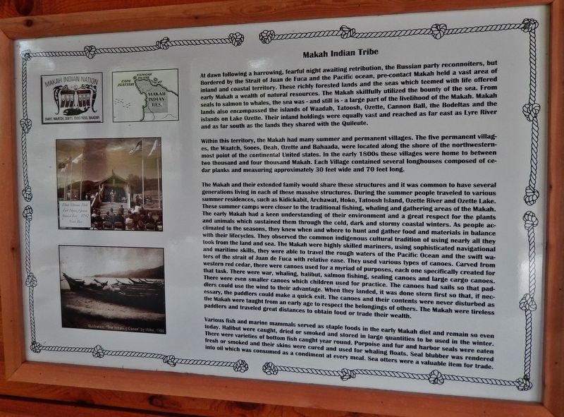
Within this territory, the Makah had many summer and permanent villages. The five permanent villages, the Waatch, Sooes, Deah, Ozette and Bahaada, were located along the shore of the northwestern-most point of the continental United States. In the early 1800s these villages were home to between two thousand and four thousand Makah. Each Village contained several longhouses composed of cedar planks and measuring approximately 30 feet wide and 70 feet long.
The Makah and their extended family would share these structures and it was common to have several generations living in each of these massive structures. During the summer people traveled to various summer residences, such as Kidickabit, Archawat, Hoko, Tatoosh Island, Ozette River and Ozette Lake. These summer camps were closer to the traditional fishing, whaling and gathering areas of the Makah. The early Makah had a keen understanding of their environment and a great respect for the plants and animals which sustained them through the cold, dark and stormy coastal winters. As people acclimated to the seasons, they knew when and where to hunt and gather food and materials in balance with their lifecycles. They observed the common indigenous cultural tradition of using nearly all they took from the land and sea. The Makah were highly skilled mariners, using sophisticated navigational and maritime skills, they were able to travel the rough waters of the Pacific Ocean and the swift waters of the strait of Juan de Fuca with relative ease. They used various types of canoes. Carved from western red cedar, there were canoes used for a myriad of purposes, each one specifically created for that task. There were war, whaling, halibut, salmon fishing, sealing canoes and large cargo canoes. There were even smaller canoes which children used for practice. The canoes had sails so that paddlers could use the wind to their advantage. When they landed, it was done stern first so that, if necessary, the paddlers could make a quick exit. The canoes and their contents were never disturbed as the Makah
were taught from an early age to respect the belongings of others. The Makah were tireless paddlers and traveled great distances to obtain food or trade their wealth.
Various fish and marine mammals served as staple foods in the early Makah diet and remain so even today. Halibut were caught, dried or smoked and stored in large quantities to be used in the winter. There were varieties of bottom fish caught year round. Porpoise and fur and harbor seals were eaten fresh or smoked and their skins were cured and used for whaling floats. Seal blubber was rendered into oil which was consumed as a condiment at every meal. Sea otters were a valuable item for trade.
Erected 2015 by Association of Washington Generals, The Peterson Family, State of Washington, State of Alaska, and American Legion Post 106.
Topics. This historical marker is listed in these topic lists: Native Americans • Natural Resources • Waterways & Vessels.
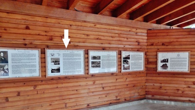
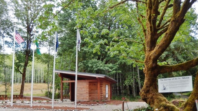
Location. 47° 49.021′ N, 124° 9.129′ W. Marker is near Forks, Washington, in Clallam County. Marker can be reached from Upper Hoh Road, 0.1 miles east of Linder Creek Lane, on the left when traveling east. Marker is located in the "Journey of the Sv. Nikolai" interpretive kiosk, on the north side of Upper Hoh Road. Touch for map. Marker is at or near this postal address: 5833 Upper Hoh Road, Forks WA 98331, United States of America. Touch for directions.
Other nearby markers. At least 7 other markers are within 9 miles of this marker, measured as the crow flies. Anna Petrovna - Timothei Tarakanov (here, next to this marker); Hoh Indian Tribe (here, next to this marker); Fort Ross, California - Sitka Castle, Alaska - Fort Elisabeth, Kaua’i, Hawai’i (here, next to this marker); Escape to the Hoh River Leads to Captivity (here, next to this marker); Sv. Nikolai Mission (here, next to this marker); Quileute Indian Tribe (here, next to this marker); Rain Forest Monarch (approx. 8.4 miles away).
More about this marker. Marker is a framed interpretive panel mounted at eye-level on the kiosk wall. This monument commemorates the 1808 expedition of the Russian American Company sailing vessel Sv. Nikolai and its crew of 22 explorers who were stranded when their 45-foot schooner went aground on the Pacific Coast north of the Quillayute River.
Related markers. Click here for a list of markers that are related to this marker. The Journey of the Sv. Nikolai
Also see . . . Makah. Archaeological research suggests that the Makah people have inhabited the area now known as Neah Bay for more than 3,800 years. Makah oral history relates that their tradition of aboriginal whaling has been suspended and re-established several times. Most recently, the practice was suspended in the 1920s because the commercial whaling industry had depleted the stocks of humpback and gray whales; all hunting was called off. After the gray whale was removed from the Endangered Species List, the Makah re-asserted their whaling rights. With the support and guidance of the United States government and the International Whaling Commission, the Makah successfully hunted a gray whale on May 17, 1999. According to federal law, the Makah are entitled to hunt and kill one baleen whale, typically a gray whale, each year. (Submitted on February 6, 2019, by Cosmos Mariner of Cape Canaveral, Florida.)
Credits. This page was last revised on October 14, 2020. It was originally submitted on February 5, 2019, by Cosmos Mariner of Cape Canaveral, Florida. This page has been viewed 274 times since then and 24 times this year. Photos: 1, 2, 3. submitted on February 6, 2019, by Cosmos Mariner of Cape Canaveral, Florida. • Andrew Ruppenstein was the editor who published this page.


