Douglass in Southeast Washington in Washington, District of Columbia — The American Northeast (Mid-Atlantic)
Freedom Grove (1838)
Douglass Community Center
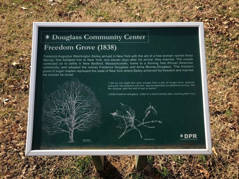
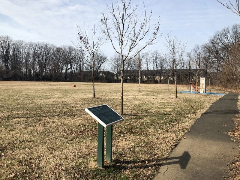
Frederick Augustus Washington Bailey arrived in New York with the aid of a free woman named Anna Murray. She followed him to New York, and eleven days after his arrival, they married. The couple continued to settle in New Bedford, Massachusetts, home to a thriving free African American community, and adopted the named Frederick Douglass and Anna Murray-Douglass. This freedom grove of sugar maples represent the state of New York where Bailey achieved his freedom and married the woman he loved.
"I felt as one might feel upon escape from a den of hungry lions. Anguish and grief, like darkness and rain, may be depicted, but gladness and joy, like the rainbow, defy the skill of pen or pencil."
(1838) Frederick Douglass, Letter to a friend shortly after reaching New York
Erected by DC Department of Parks and Recreation (DPR).
Topics. This historical marker is listed in these topic lists: Abolition & Underground RR • African Americans • Women.
Location. 38° 51.182′ N, 76° 58.705′ W. Marker is in Southeast Washington in Washington, District of Columbia. It
this page online

Regionally, this marker is in the Washington Metropolitan Area. It is also in the American Northeast, in the Upper South, in the Mid-Atlantic, in the Tidewater, and in the Chesapeake Bay Region. Globally, it is in North America, the Western Hemisphere, the Western World, and the Anglosphere.
Other nearby markers. At least 8 other markers are within walking distance of this marker: Memorial Grove (1841-1895) (within shouting distance of this marker); Escape Allée (1838) (about 400 feet away, measured in a direct line); Activist Grove (1833-1845) (about 400 feet away); Welcome to the Demonstration Garden (approx. 0.3 miles away); A Museum Without Walls (approx. 0.3 miles away); The Anacostia River: Pride and Preservation (approx. 0.3 miles away); The Litter Bell (approx. 0.3 miles away); The Anacostia River: People and Places
Another marker is no longer nearby. Thurgood Marshall (was approx. ¼ mile away but has been permanently removed).
Credits. This page was last revised on January 30, 2023. It was originally submitted on February 10, 2019, by Devry Becker Jones of Washington, District of Columbia. This page has been viewed 297 times since then and 16 times this year. Photos: 1, 2. submitted on February 10, 2019, by Devry Becker Jones of Washington, District of Columbia. • Bill Pfingsten was the editor who published this page.
