Concord in Merrimack County, New Hampshire — The American Northeast (New England)
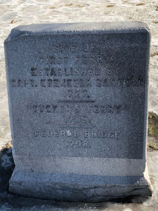
Site of First Ferry
First Ferry
Established by
Capt. Ebenezer Eastman
1727.
--------------
Tucker's Ferry
1785.
--------------
Federal Bridge
1798.
Topics. This historical marker is listed in these topic lists: Bridges & Viaducts • Colonial Era • Waterways & Vessels. A significant historical year for this entry is 1727.
Location. 43° 13.922′ N, 71° 32.155′ W. Marker is in Concord, New Hampshire, in Merrimack County. Marker is on Eastman Street, on the right when traveling north. Just north of the Eastman Street intersection with Portsmouth Street. Touch for map. Marker is in this post office area: Concord NH 03301, United States of America. Touch for directions.
Other nearby markers. At least 8 other markers are within 2 miles of this marker, measured as the crow flies. Eastman (a few steps from this marker); End Of The First N. H. Turnpike (within shouting distance of this marker); Site of Rumford Garrison No. 2 (about 500 feet away, measured in a direct line); Bridges House Governor's Residence (approx. half a mile away); The Pennacook (approx. ¾ mile away); VFW Concord Post 1631 Memorial (approx. 1.1 miles away); U.S.S. Maine Memorial (approx. 1.1 miles away); First Session of the Legislature at Concord (approx. 1.1 miles away). Touch for a list and map of all markers in Concord.
Credits. This page was last revised on March 1, 2019. It was originally submitted on February 10, 2019, by Douglas Finney of Concord, New Hampshire, USA. This page has been viewed 238 times since then and 24 times this year. Photo 1. submitted on February 10, 2019, by Douglas Finney of Concord, New Hampshire, USA. • Andrew Ruppenstein was the editor who published this page.
