
Millcreek Township near Erie in Erie County, Pennsylvania — The American Northeast (Mid-Atlantic)
The Peninsula's First Roadway
Presque Isle Lighthouse
Photographed by Cosmos Mariner, August 26, 2013
1. The Peninsula's First Roadway Marker
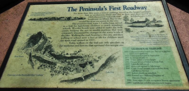
Today, walkers on the trail can only speculate on the mysteries and history that surround this unique site.
The city of Erie seemed a long distance away as keepers began their routine boat trip across the bay.
A simple boathouse on the shores of Misery Bay housed the small boat that keepers used to row to the mainland for supplies. The Lifesaving Service (later the U.S. Coast Guard) usually transported children to the mainland for school.
Lighthouse
this page online
1870 • Commissioned by Lighthouse Service to replace Erie Land Lighthouse
1872 • Construction begins in September
1873 • In service on July 12
1896 • 17 feet added to tower height
1921 • Presque Isle established as State Park
1925 • Sidewalk trail paved
1927 • Main road opened to lighthouse
1941 • Coast Guard assumes responsibility from Lighthouse Service
1957 • Indoor plumbing installed
1983 • Entered into National Register of Historic Places
1986 • State signs 25 year occupancy license agreement
1997 • Lighthouse exhibit construction begins
Topics and series. This historical marker is listed in these topic lists: Education • Roads & Vehicles • Waterways & Vessels. In addition, it is included in the Lighthouses series list. A significant historical date for this entry is July 12, 1925.
Location. 42° 9.951′ N, 80° 6.838′ W. Marker is near Erie, Pennsylvania, in Erie County. It is in Millcreek Township. It can be reached from Peninsula Drive 0.6 miles Fisher Drive, on the left when traveling east. Marker is located along the walkway on the north side of Peninsula Drive, inside the courtyard on the west side of the
Photographed by Cosmos Mariner, August 26, 2013
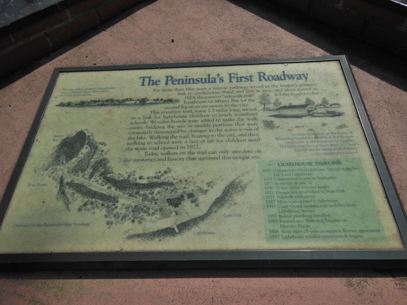
2. The Peninsula's First Roadway Marker (wide view)

Regionally, this marker is in Northwestern Pennsylvania. It is also in the American Northeast, in the Mid-Atlantic, in Appalachia, and specifically in Northern Appalachia. Globally, it is in North America, on the Great Lakes, in the Western Hemisphere, in the Western World, and in the Anglosphere. Historically, it finds itself in what was once the Viceroyalty of New France, the Haudenosaunee (Iroquois) Confederacy, and one of the original Thirteen Colonies.
Other nearby markers. At least 8 other markers are within 2 miles of this marker, measured as the crow flies: The Flashlight (here, next to this marker); Five Courses Thick (here, next to this marker); The Loneliest Place on Earth (here, next to this marker); The Perry Monument (approx. 1.4 miles away); Budny Beach (approx. 1.4 miles away); A Climate For War (approx. 1.4 miles away); Preparing For Battle (approx. 1.4 miles away); And the Misery begins… (approx. 1.4 miles away). Touch for a
Photographed by Cosmos Mariner, August 26, 2013
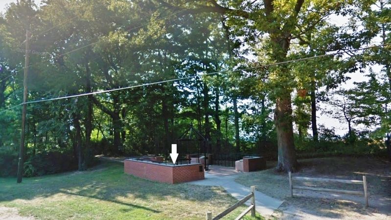
3. The Peninsula's First Roadway Marker (wide view; marker mounted on pedestal in courtyard)
More about this marker. Marker is a framed, composite plaque, mounted horizontally, at waist-level, on a concrete slab atop a brick pedestal.
Related markers. Click here for a list of markers that are related to this marker. Presque Isle Lighthouse
Photographed by Cosmos Mariner, August 26, 2013
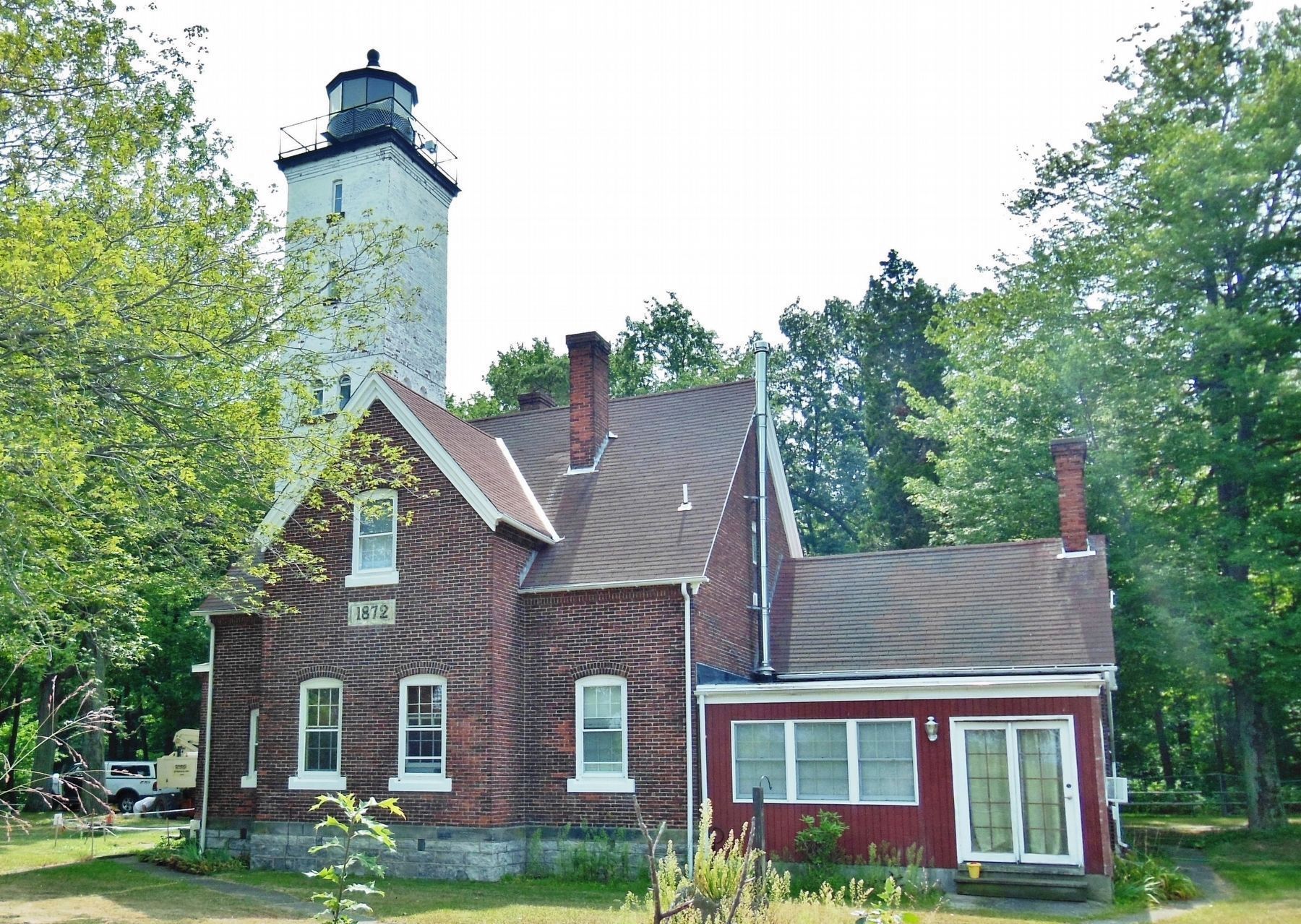
4. Presque Isle Lighthouse (1/10 mile northwest of marker)
Credits. This page was last revised on February 7, 2023. It was originally submitted on February 15, 2019, by Cosmos Mariner of Cape Canaveral, Florida. This page has been viewed 320 times since then and 32 times this year. Photos: 1, 2, 3, 4. submitted on February 16, 2019, by Cosmos Mariner of Cape Canaveral, Florida. • Bill Pfingsten was the editor who published this page.
