Near Devine in Medina County, Texas — The American South (West South Central)
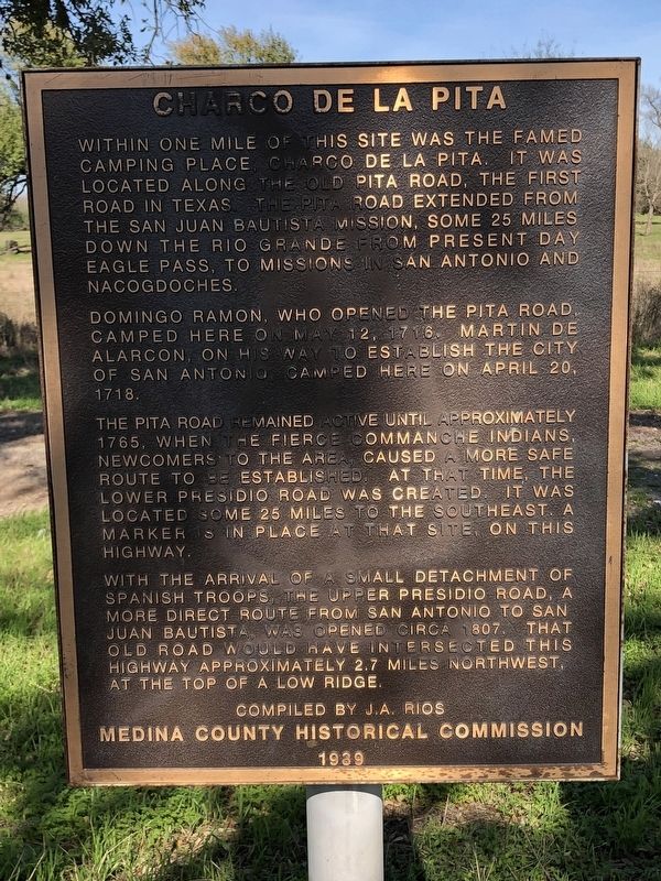
Charco de la Pita
Domingo Ramon, who opened the Pita Road, camped here on May 12, 1716. Martin de Alarcon, on his way to establish the city of San Antonio, camped here on April 20, 1718.
The Pita Road remained active until approximately 1765, when the fierce Commanche Indians, newcomers to the area, caused a more safe route to be established. At that time, the Lower Presidio Road was created. It was located some 25 miles to the southeast. A marker is in place at that site, on this highway.
With the arrival of a small detachment of Spanish troops, the Upper Presidio Road, a more direct route from San Antonio to San Juan Bautista, was opened circa 1807. That old road would have intersected this highway approximately 2.7 miles northwest, at the top of a low ridge.
Erected 1989 by Medina County Historical Commission.
Topics. This historical marker is listed in these topic lists: Colonial Era • Roads & Vehicles.
Location. 29° 9.958′ N, 98° 56.341′ W. Marker is near Devine, Texas, in Medina County. Marker is on State Highway 173, on the right when traveling north. Touch for map. Marker is in this post office area: Devine TX 78016, United States of America. Touch for directions.
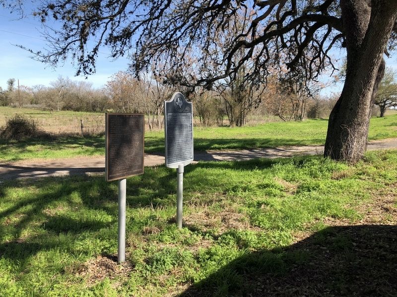
Other nearby markers. At least 8 other markers are within 3 miles of this marker, measured as the crow flies. Spanish Exploration in Medina County (here, next to this marker); Devine Lodge, No. 590 (approx. 2.3 miles away); First Baptist Church of Devine (approx. 2˝ miles away); Devine Evergreen Cemetery (approx. 2.6 miles away); American Legion Memorial (approx. 2.7 miles away); Last Person Killed by Indians in Medina County (approx. 2.7 miles away); Judge Thomas J. Devine (approx. 2.7 miles away); The Upper Presidio Road (approx. 2.7 miles away). Touch for a list and map of all markers in Devine.
Credits. This page was last revised on March 1, 2019. It was originally submitted on February 27, 2019, by Brian Anderson of Humble, Texas. This page has been viewed 362 times since then and 44 times this year. Photos: 1, 2. submitted on February 28, 2019, by Brian Anderson of Humble, Texas.

