Centro Histórico in Ciudad de México, Mexico — The Valley of Mexico (The Central Highlands)
The Temple of San Juan de Dios
Photographed by J. Makali Bruton, February 15, 2019
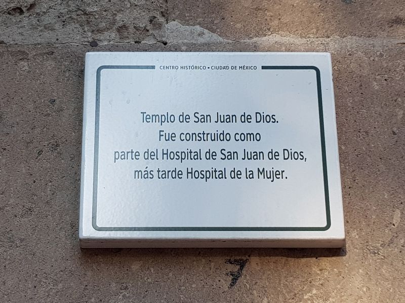
1. The Temple of San Juan de Dios Marker

English translation:
Temple of San Juan de Dios. It was built as part of the Hospital of San Juan de Dios, later Hospital de la Mujer (The Women’s Hospital).
Erected by Centro Histórico Ciudad de México.
Topics. This historical marker is listed in these topic lists: Charity & Public Work • Colonial Era • Man-Made Features • Religion & Religious Structures.
Location. 19° 26.22′ N, 99° 8.597′ W. Marker is in Ciudad de México. It is in Centro Histórico. It is on Avenida Hidalgo just west of Eje Central Lázaro Cárdenas, on the right when traveling west. Touch for map. Marker is in this post office area: Ciudad de México 06300, Mexico. Touch for directions.

Regionally, this marker is in Central Mexico and specifically in Mexico City Metropolitan Area. Globally, it is in North America, specifically in Mesoamerica, on the Ring of Fire, and in the Western Hemisphere. Historically, it finds itself in what was once New Spain,
this page online
Other nearby markers. At least 8 other markers are within walking distance of this marker: Franz Mayer Museum (here, next to this marker); Benjamín Carrión (within shouting distance of this marker); Santa Veracruz (within shouting distance of this marker); Ignacio López Rayón (within shouting distance of this marker); Grave of Manuel Tolsá (about 90 meters away, measured in a direct line); The Juárez Hemicycle (about 240 meters away); Aquiles Serdán (approx. 0.3 kilometers away); First Mass Arrest of Gays in Mexico (approx. 0.3 kilometers away). Touch for a list and map of all markers in Ciudad de México.
Other markers no longer nearby. Sostenes Rocha (was approx. 0.3 kilometers away but has been confirmed missing); One of the Oldest Pulque Dispensaries (was approx. 0.3 kilometers away but has been confirmed missing); Eustaquio Buelna Pérez (was approx. 0.3 kilometers away but has been confirmed missing); Temple of Corpus Christi (was approx. 0.3 kilometers away but has been confirmed missing); General Manuel Gutiérrez Zamora (was approx. 0.3 kilometers away but has been confirmed
Photographed by J. Makali Bruton, February 15, 2019
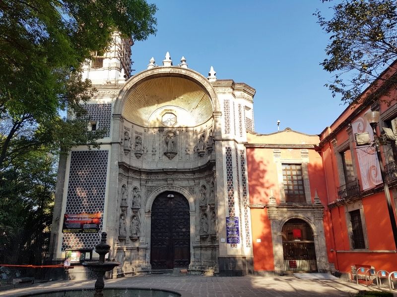
2. The Temple of San Juan de Dios and Marker
The marker is to the right of the main entrance to the temple. Further to the right is the Franz Mayer Museum and marker.
Photographed by J. Makali Bruton, February 15, 2019
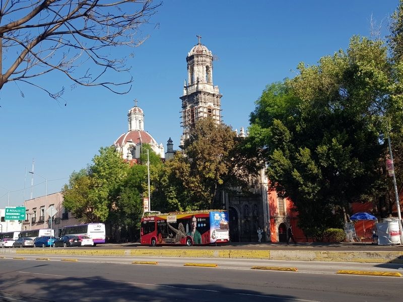
3. The Temple of San Juan de Dios
Credits. This page was last revised on April 17, 2020. It was originally submitted on March 1, 2019, by J. Makali Bruton of Washington, District of Columbia. This page has been viewed 212 times since then and 19 times this year. Photos: 1, 2, 3. submitted on March 1, 2019, by J. Makali Bruton of Washington, District of Columbia.
