Pensacola in Escambia County, Florida — The American South (South Atlantic)
Archaeology in a Maritime Community
| — | Pensacola Maritime Heritage Trail | — |
Photographed by Mark Hilton, March 6, 2019
1. Archaeology in a Maritime Community Marker
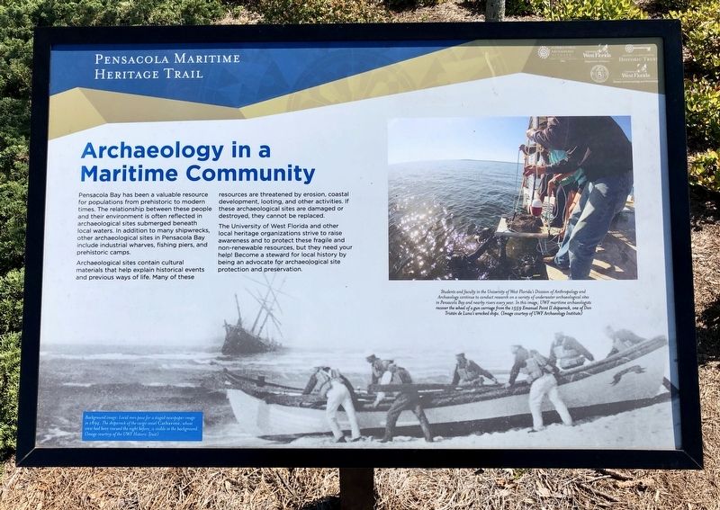
Archaeological sites contain cultural materials that help explain historical events and previous ways of life. Many of these resources are threatened by erosion, coastal development, looting, and other activities. If these archaeological sites are damaged or destroyed, they cannot be replaced.
The University of West Florida and other local heritage organizations strive to raise awareness and to protect these fragile and non-renewable resources, but they need your help! Become a steward for local history by being an advocate for archaeological site protection and preservation.
Photo captions:
Top right: Students and faculty in the University of West Florida's Division of Anthropology and Archaeology continue to conduct research on a variety of underwater archaeological sites in Pensacola Bay and nearby rivers every year. In this image, UWF maritime archaeologists recover the wheel of a gun carriage from the 1559 Emanuel Point II shipwreck, one of Don Tristán de Luna's wrecked ships. (Image courtesy of UWF Archaeology Institute)
Background image: Local men pose for a staged newspaper image in 1894. The shipwreck of the cargo vessel Catharine, whose crew had been rescued the night before, is visible in the background. (Image courtesy of the UWF Historic Trust)
Erected 2016
this page online
Topics. This historical marker is listed in these topic lists: Anthropology & Archaeology • Education • Settlements & Settlers • Waterways & Vessels. A significant historical year for this entry is 1559.
Location. 30° 24.196′ N, 87° 13.136′ W. Marker is in Pensacola, Florida, in Escambia County. It is on Museum Lane 0.1 miles south of West Cedar Street, on the right when traveling east. Next to the splash pad near Blue Wahoos Stadium. Touch for map. Marker is at or near this postal address: 351 West Cedar Street, Pensacola FL 32502, United States of America. Touch for directions.

Regionally, this marker is on the Florida Panhandle. It is also in the American South, specifically in the Deep South, and on the Gulf Coast. Globally, it is in the North Atlantic Region, North America, a Gulf of Mexico state, the Western Hemisphere, the Western World, and the Anglosphere. Historically, it finds itself in what was once New Spain, the territory of the Mississippian Culture, one of the Confederate States of America, and
Photographed by Mark Hilton, March 6, 2019
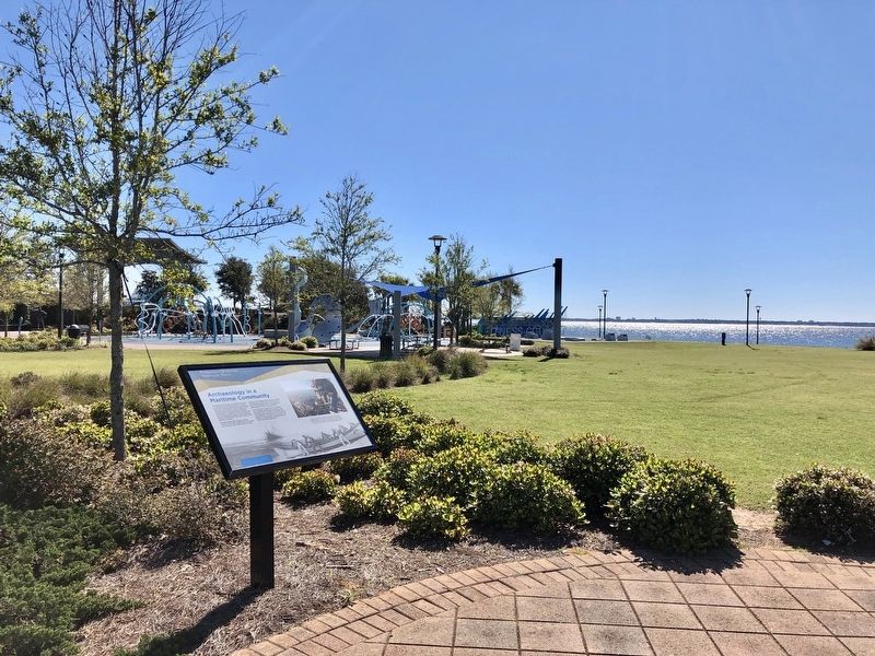
2. View from marker towards Pensacola Bay.
Other nearby markers. At least 8 other markers are within walking distance of this marker: "Gloucester of the Gulf" (about 600 feet away, measured in a direct line); The Pensacola Jaycees 1955 Little League Baseball Team (about 600 feet away); A History Shaped by Hurricanes (about 700 feet away); Site of Panton Leslie & Co's (approx. 0.3 miles away); Luna Expedition (approx. 0.3 miles away); Middle Passage to Pensacola / African Presence in Colonial Pensacola (approx. 0.4 miles away); St. Joseph Catholic Church (approx. 0.4 miles away); Trader Jon's (approx. 0.4 miles away). Touch for a list and map of all markers in Pensacola.
Photographed by Mark Hilton, March 6, 2019
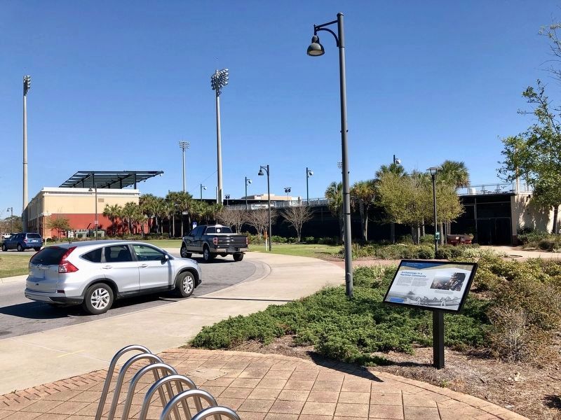
3. View from marker towards Blue Wahoos Stadium.
Credits. This page was last revised on October 9, 2020. It was originally submitted on March 8, 2019, by Mark Hilton of Montgomery, Alabama. This page has been viewed 343 times since then and 35 times this year. Photos: 1, 2, 3. submitted on March 8, 2019, by Mark Hilton of Montgomery, Alabama.
