Mount Pleasant in Northwest Washington in Washington, District of Columbia — The American Northeast (Mid-Atlantic)
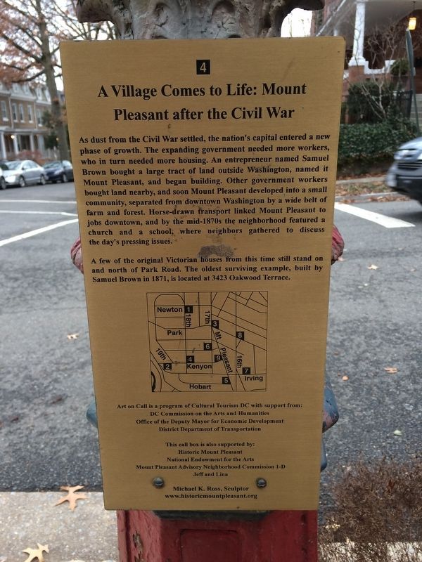
A Village Comes to Life: Mount Pleasant after the Civil War
Photographed by Devry Becker Jones (CC0), January 13, 2018
1. A Village Comes to Life: Mount Pleasant after the Civil War Marker
As dust from the Civil War settled, the nation's capital entered a new phase of growth. The expanding government needed more workers, who in turn needed more housing. An entrepreneur named Samuel Brown bought a large tract of land outside Washington, named it Mount Pleasant, and began building. Other government workers bought land nearby, and soon Mount Pleasant developed into a small community, separated from downtown Washington by a wide belt of farm and forest. Horse-drawn transport linked Mount Pleasant to jobs downtown, and by the mid-1870s the neighborhood featured a church and a school, where neighbors gathered to discuss the day's pressing issues.
A few of the original Victorian houses from this time still stand on and north of Park Road. The oldest surviving example, built by Samuel Brown in 1871, is located at 3423 Oakwood Terrace.
Erected by Cultural Tourism DC. (Marker Number 4.)
Topics. This historical marker is listed in these topic lists: Roads & Vehicles • Settlements & Settlers • War, US Civil. A significant historical year for this entry is 1871.
Location. 38° 55.787′ N, 77° 2.472′ W.
this page online

Regionally, this marker is in the Washington Metropolitan Area. It is also in the American Northeast, in the Upper South, in the Mid-Atlantic, in the Tidewater, and in the Chesapeake Bay Region. Globally, it is in North America, the Western Hemisphere, the Western World, and the Anglosphere.
Other nearby markers. At least 8 other markers are within walking distance of this marker: Harvest at Pleasant Plains (about 500 feet away, measured in a direct line); At Home and Abroad (about 700 feet away); The First Bodega (approx. 0.2 miles away); Changing Fashions (approx. 0.2 miles away); Mount Pleasant Street, ca. 2004 (approx. 0.2 miles away); The Urban Village (approx. 0.2 miles away); Streetcar Suburb (approx. 0.2 miles away); Defying the Restrictive Covenants (approx. 0.2 miles away).
Photographed by Devry Becker Jones (CC0), January 13, 2018
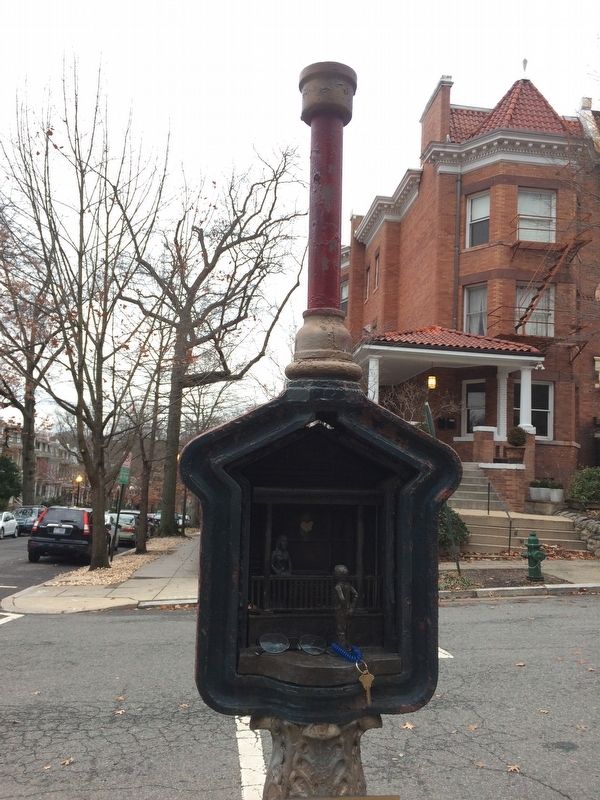
2. A Village Comes to Life: Mount Pleasant after the Civil War Marker
Photographed by Devry Becker Jones (CC0), January 13, 2018
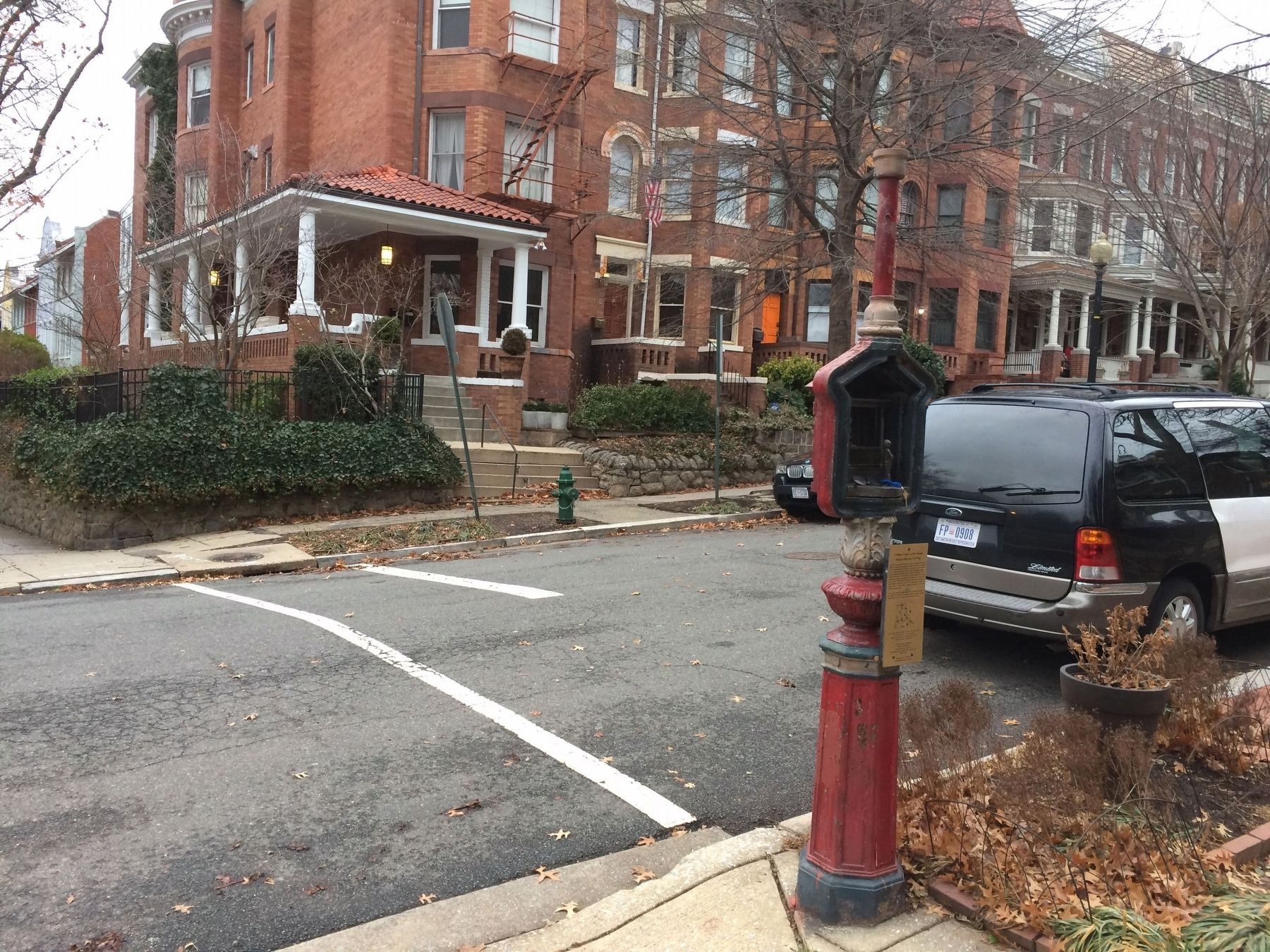
3. A Village Comes to Life: Mount Pleasant after the Civil War Marker
Credits. This page was last revised on January 30, 2023. It was originally submitted on January 13, 2018, by Devry Becker Jones of Washington, District of Columbia. This page has been viewed 303 times since then and 27 times this year. Last updated on March 8, 2019, by Devry Becker Jones of Washington, District of Columbia. Photos: 1, 2, 3. submitted on January 13, 2018, by Devry Becker Jones of Washington, District of Columbia. • Bill Pfingsten was the editor who published this page.
