Financial District in Manhattan in New York County, New York — The American Northeast (Mid-Atlantic)
Menatay, An Island Crossroads
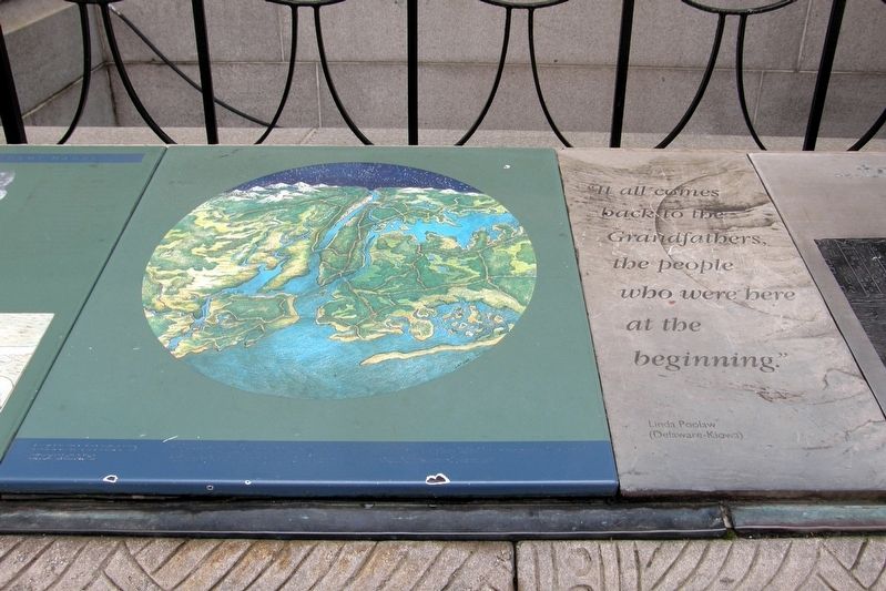
Menatay, the Delaware word for Manhattan, was a gathering place for native people from across the region – a place linked by waterways and trails and abundant in natural resources.
“It all goes back to the Grandfathers, the people who were here at the beginning.”
Linda Poolaw (Delaware-Kiowa)
Topics. This historical marker is listed in these topic lists: Native Americans • Waterways & Vessels.
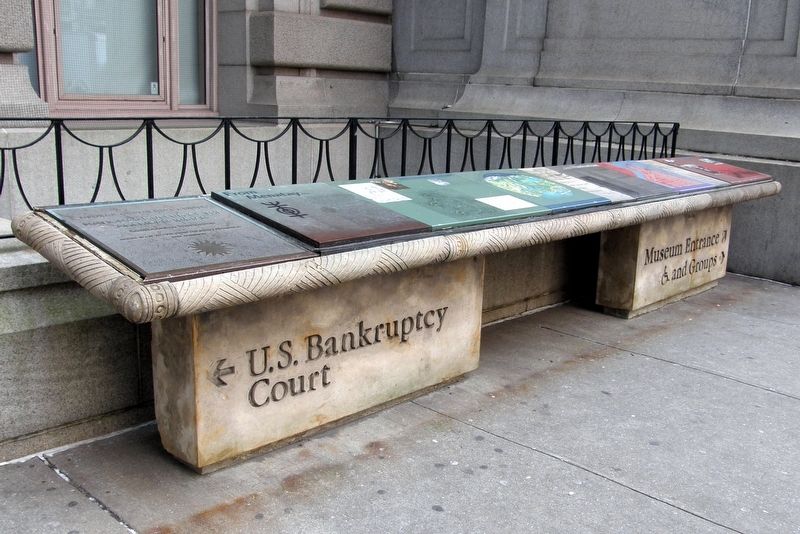
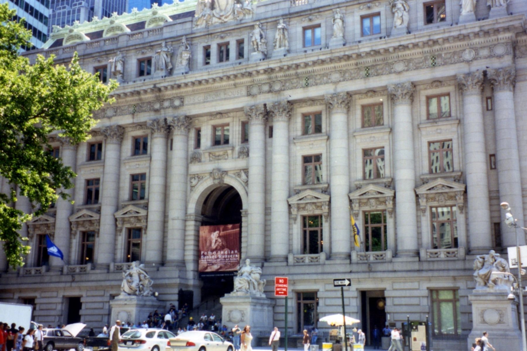
Location. 40° 42.266′ N, 74° 0.813′ W. Marker is in Manhattan, New York, in New York County. It is in the Financial District. Marker is on Whitehall Street near Bowling Green, on the right when traveling south. The marker is one of several in a bank to the left of the main entrance to the National Museum of the American Indian. Touch for map. Marker is in this post office area: New York NY 10004, United States of America. Touch for directions.
Other nearby markers. At least 8 other markers are within walking distance of this marker. Lower Manhattan Today (here, next to this marker); From Menatay… (here, next to this marker); A Place Of Many Names (here, next to this marker); …to Manhattan (here, next to this marker); Drawn To The City (here, next to this marker); The Marketplace (a few steps from this marker); “North America” sculpted by Daniel Chester French (within shouting distance of this marker); Places of Exchange (within shouting distance of this marker). Touch for a list and map of all markers in Manhattan.
More about this marker. The central illustration is an area map of the major Indian trails. The inlay has faded so much that the marker is very difficult to read.
Credits. This page was last revised on January 31, 2023. It was originally submitted on March 13, 2019, by Larry Gertner of New York, New York. This page has been viewed 249 times since then and 44 times this year. Last updated on March 18, 2019, by Larry Gertner of New York, New York. Photos: 1, 2, 3. submitted on March 13, 2019, by Larry Gertner of New York, New York. • Andrew Ruppenstein was the editor who published this page.


