Strong in Rochester in Monroe County, New York — The American Northeast (Mid-Atlantic)
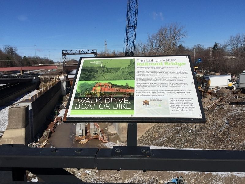
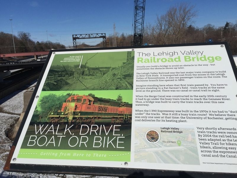
The Lehigh Valley Railroad Bridge
The Lehigh Valley Railroad was the last major railroad to built in New York State. It transported coal from the mines in the Lehigh Valley of Pennsylvania. It also ran passenger trains on the route. The Rochester branch line opened in 1892.
Imagine standing here when that first train passed by. You have to picture standing in a flat farmer's field -train tracks at the same level as the ground. There was no canal or canal trail in sight.
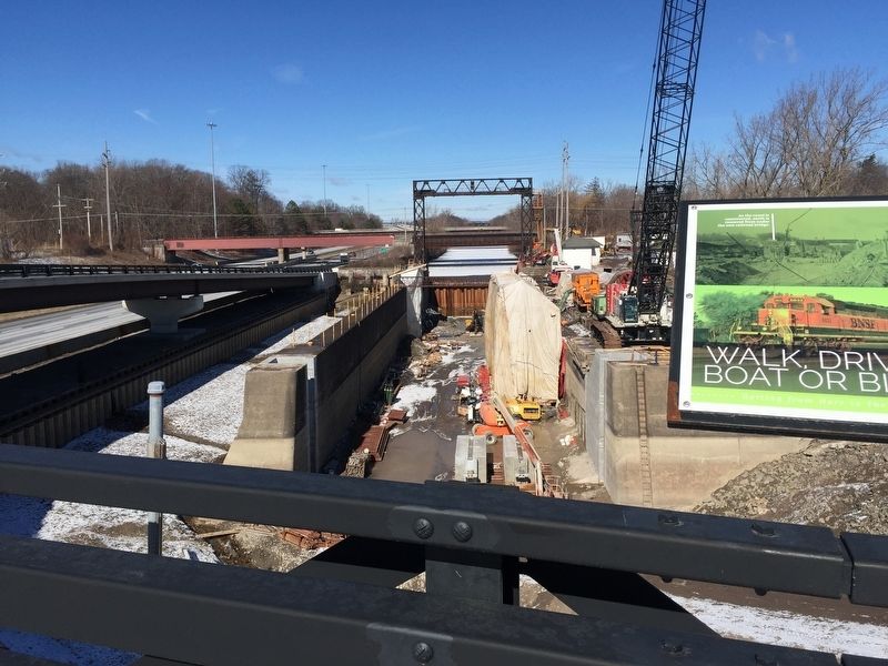
When the Barge Canal was constructed in the early 20th century it had to go under the busy train tracks to reach the Genesee River. Thus, a bridge was built to carry the train tracks over this new waterway.
When the I-390 Expressway was built in the 1970's it too had to "duck under" the tracks. Was it still a busy train route? We believe there was only one user at that time: the University of Rochester, getting coal deliveries for its heating plant.
Very shortly afterwards, the train tracks were removed. By 2004, the rail bed had been adapted as the Lehigh Valley Trail for hikers and bikers across the expressway, the canal and the Canal Trail.
Erected 2015 by New York State Department of Transportation.
Topics. This historical marker is listed in these topic lists: Bridges & Viaducts • Railroads & Streetcars • Roads & Vehicles • Waterways & Vessels.
Location. 43° 6.986′ N, 77° 37.943′ W. Marker is in Rochester, New York, in Monroe County. It is in Strong. Marker is on Kendrick Road, on the right when traveling west. Marker is on the bridge over I-390. Touch for map. Marker is in this post office area: Rochester NY 14620, United States of America. Touch for directions.
Other nearby markers. At least 8 other markers are within walking distance of this marker. The Genesee Expressway (within shouting distance of this marker); The Canalway Trail (within shouting distance of this marker); Is this the Erie Canal? (within shouting distance of this marker); Olmsted and Genesee Valley Park (about 500 feet away, measured in a direct line); The Empire State Trail (approx. ¼ mile away); Camp Hillhouse (approx. half a mile away); Clara Barton Red Cross Trail (approx. half a mile away); Curtis Point (approx. half a mile away). Touch for a list and map of all markers in Rochester.
Credits. This page was last revised on February 16, 2023. It was originally submitted on March 19, 2019, by Steve Stoessel of Niskayuna, New York. This page has been viewed 343 times since then and 42 times this year. Photos: 1, 2, 3. submitted on March 19, 2019, by Steve Stoessel of Niskayuna, New York. • Bill Pfingsten was the editor who published this page.


