Mérida, Yucatán, Mexico — The Southeast (Yucatan Peninsula)
The Hermitage
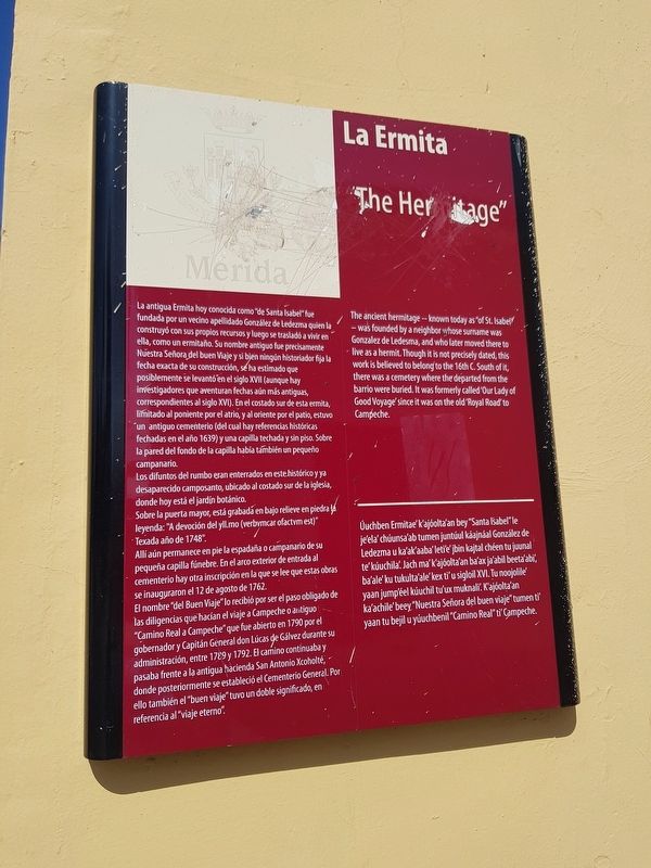
La antigua Ermita hoy conocida como “de Santa Isabel” fue fundada por un vecino apellidado González de Ledezma quien la construyó con sus propios recursos y luego se trasladó a vivir en ella, como un ermitaño. Su nombre antiguo fue precisamente Nuestra Señora del buen Viaje y si bien ningún historiador fija la fecha exacta de su construcción, sé ha estimado que posiblemente se levantó en el siglo XVII (aunque hay investigadores que aventuran fechas aún más antiguas, correspondientes al siglo XVI). En el costado sur de esta ermita, limitado al poniente por el atrio, y al oriente por el patio, estuvo un antiguo cementerio (del cual hay referencias históricas fechadas en el año 1639) y una capilla techada y sin piso. Sobre la pared del fondo de la capilla había también un pequeño campanario.
Los difuntos del rumbo eran enterrados en este histórico y ya desaparecido camposanto, ubicado al costado sur de la iglesia, donde hoy está el jardin botánico.
Sobre la puerta mayor, está grabadá en bajo relieve en piedra la leyenda: “A devoción del yll.mo (verbvmcar ofactvm est)” Texada año de 1748”
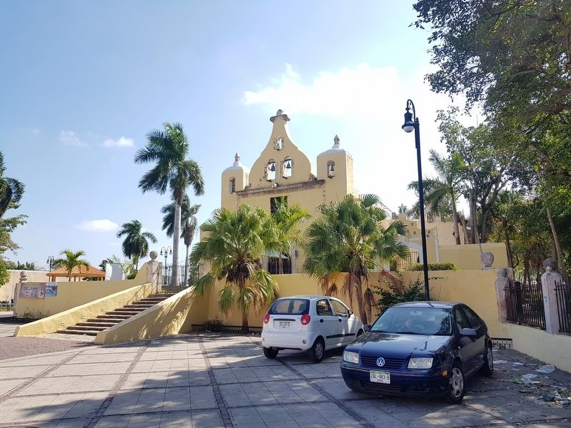
Allí aún permanece en pie la espadaña o campanario de su pequeña capilla fúnebre. En el arco exterior de entrada al cementerio hay otra inscripción en la que se lee que estas obras se inauguraron el 12 de agosto de 1762.
El nombre “del Buen Viaje” lo recibió por ser el paso obligado de las diligencias que hacian el viaje a Campeche o antiguo “Camino Real a Campeche” que fue abierto en 1790 por el gobernador y Capitán General don Lúcas de Gálvez durante su administración, entre 1789 y 1792. El camino continuaba y pasaba frente a la antigua hacienda San Antonio Xcoholté, donde posteriormente se estableció el Cementerio General. Por ello también el “buen viaje” tuvo un doble significado, en referencia al “viaje eterno”.
“The Hermitage”
The ancient hermitage known today as “of St. Isabel” was founded by a neighbor whose surname was Gonzalez de Ledesma, and who later moved there to live as a hermit. Though it is not precisely dated, this work is believed to belong to the 16th C. South of it, there was a cemetery where the departed from the barrio were buried. It was formerly called Our Lady of Good Voyage since it was on the old Royal Road to Campeche.
La Ermita
Úuchben Ermitae' kajóolta'an bey “Santa Isabel” le je'ela' chúunsa'ab tumen juntúul káajnáal González de Ledezma u ka'ak'aaba'
leti'e' jbin kajtal chéen tu juunal te' kúuchila'. Jach ma' kajóolta'an ba'ax ja'abil beeta'abi', ba'ale' ku tukulta'ale'kex ti' u sigloil XVI. Tu noojolile' yaan jump'éel kúuchil tu'ux muknali'. K'ajóolta'an ka'achile'beey “Nuestra Señora del buen viaje” tumen ti' yaan tu bejil u yúuchbenil “Camino Real” ti' Campeche.
Erected by Ciudad de Mérida.
Topics. This historical marker is listed in these topic lists: Cemeteries & Burial Sites • Churches & Religion • Colonial Era • Roads & Vehicles. A significant historical year for this entry is 1762.
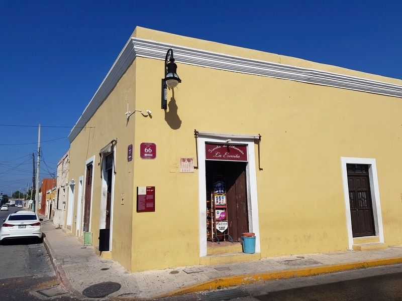
Location. 20° 57.45′ N, 89° 37.787′ W. Marker is in Mérida, Yucatán. Marker is at the intersection of Calle 66 and Calle 77, on the left when traveling north on Calle 66. Touch for map. Marker is in this post office area: Mérida YU 97000, Mexico. Touch for directions.
Other nearby markers. At least 8 other markers are within walking distance of this marker. The Harem (about 240 meters away, measured in a direct line); General Manuel Cepeda Peraza (approx. 0.3 kilometers away); Temple of Saint Sebastian (approx. 0.3 kilometers away); Consuelo Zavala C. (approx. 0.4 kilometers away); Calle 64 (approx. 0.4 kilometers away); The House of the Headless Friar (approx. 0.4 kilometers away); The San Juan Arch (approx. 0.6 kilometers away); Colegio Montejo Annex (approx. 0.7 kilometers away). Touch for a list and map of all markers in Mérida.
Credits. This page was last revised on October 14, 2022. It was originally submitted on March 20, 2019, by J. Makali Bruton of Accra, Ghana. This page has been viewed 203 times since then and 8 times this year. Photos: 1, 2, 3. submitted on March 20, 2019, by J. Makali Bruton of Accra, Ghana.


