New Freedom in York County, Pennsylvania — The American Northeast (Mid-Atlantic)
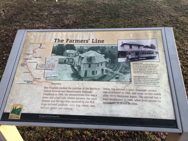
The Farmers' Line
Stewartstown
— Heritage Rail Trail County Park —
New Freedom marked the junction of the Northern Central Railway and Stewartstown Railroad. Completed in 1885, the Stewartstown line was a seven and a half mile lifeline between the area's farmers and the big cities serviced by the NCR. Crops included potatoes, corn, hay, wheat, oats, orchard apples, and tobacco.
Today, the railroad is gone. Passenger service was eliminated in 1952, and cargo service ended after 1972's Hurricane Agnes. The railroad had a brief renaissance in 1985, when it re-opened for excursions. It closed in 2004.
[Captions:]
Commuter Rail
At its peak, the Stewartstown Railroad made six trips a day with passengers and cargo. Many people commuted to work on the "rail bus" shown here. A modern commuter road parallels the old rail route. Look for tracks the next time you drive Route 851.
Celebrating the Line
"[The SRR] can never be a disadvantage to Stewartstown and the rich agricultural region which it will drain and whose vast productions it will convey to market."
— J.H. Strawbridge, SRR attorney, at opening day ceremony, 1885.
Erected by York County Parks.
Topics. This historical marker is listed in these topic lists: Agriculture • Railroads & Streetcars • Roads & Vehicles. A significant historical year for this entry is 1885.
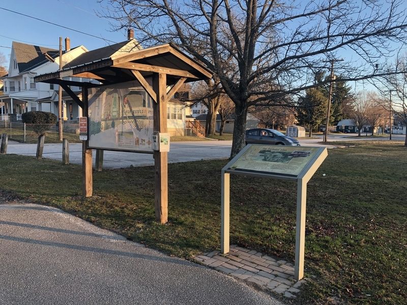
Location. 39° 44.442′ N, 76° 42.017′ W. Marker is in New Freedom, Pennsylvania, in York County. Marker is at the intersection of North Front Street and West Penn Street, on the right when traveling north on North Front Street. Touch for map. Marker is at or near this postal address: 3 West Penn Street, New Freedom PA 17349, United States of America. Touch for directions.
Other nearby markers. At least 8 other markers are within 3 miles of this marker, measured as the crow flies. Homes on Wheels, Mobile Offices (within shouting distance of this marker); All Aboard! (about 300 feet away, measured in a direct line); Summit Grove (approx. half a mile away); Lest We Forget To Remember (approx. 1.4 miles away); Spurgeon Milton Keeny (approx. 2 miles away); Shrewsbury (approx. 2.1 miles away); a different marker also named Shrewsbury (approx. 2.1 miles away); Amanda Berry Smith (1837-1915) (approx. 2.1 miles away). Touch for a list and map of all markers in New Freedom.

Photographed By Devry Becker Jones (CC0), March 23, 2019
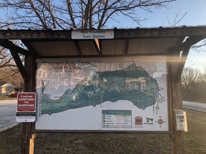
3. Nearby map with a map of Heritage Rail Trail County Park
Credits. This page was last revised on February 9, 2022. It was originally submitted on March 23, 2019, by Devry Becker Jones of Washington, District of Columbia. This page has been viewed 259 times since then and 9 times this year. Photos: 1, 2, 3. submitted on March 23, 2019, by Devry Becker Jones of Washington, District of Columbia.

