Sylacauga in Talladega County, Alabama — The American South (East South Central)
Sylacauga Cemetery
Talladega County
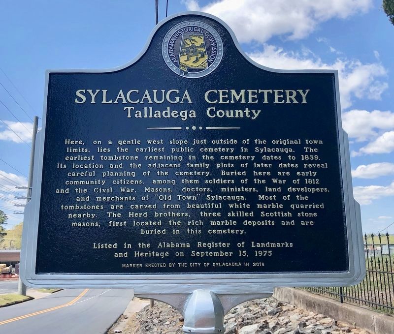
Photographed by Mark Hilton, April 2, 2019
1. Sylacauga Cemetery Marker
Erected 2019 by the City of Sylacauga.
Topics. This historical marker is listed in these topic lists: Cemeteries & Burial Sites • War of 1812 • War, US Civil. A significant historical date for this entry is September 15, 1975.
Location. 33° 10.039′ N, 86° 14.969′ W. Marker is in Sylacauga, Alabama, in Talladega County. It is on East Ft. Williams Street east of North Broadway Avenue
this page online

Regionally, this marker is in East Alabama. It is also in the American South, specifically in the Deep South, in Appalachia, and specifically in Southern Appalachia. Globally, it is in North America, a Gulf of Mexico state, the Western Hemisphere, the Western World, and the Anglosphere. Historically, it finds itself in what was once the original Cherokee Nation, the territory of the Mississippian Culture, one of the Confederate States of America, and the Antebellum South.
Other nearby markers. At least 8 other markers are within walking distance of this marker: A different marker also named Sylacauga Cemetery (a few steps from this marker); Fort Williams (about 700 feet away, measured in a direct line); Sylacauga Marble (about 800 feet away); Sylacauga Historic Commercial District (approx. 0.2 miles away); Hightower Brothers Livery Stable (approx. 0.4 miles away); The B.B. Comer Memorial Library (approx. 0.7 miles away);
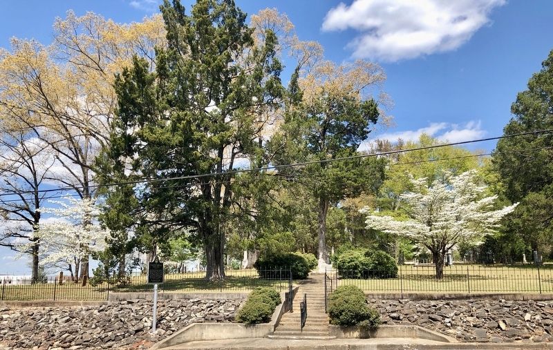
Photographed by Mark Hilton, April 2, 2019
2. Sylacauga Cemetery and Marker
More about this marker. Although noted as installed in 2018, it actually was installed in March, 2019.
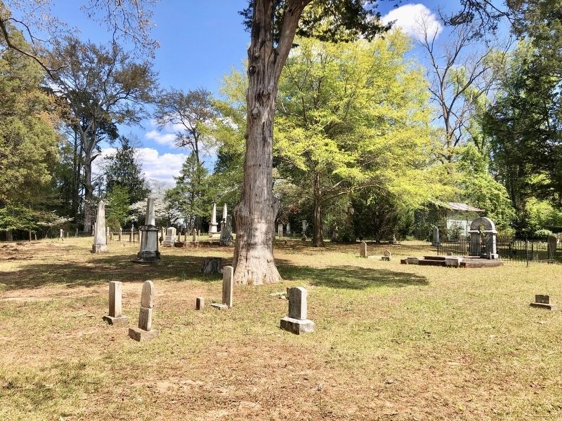
Photographed by Mark Hilton, April 2, 2019
3. View of the Sylacauga Cemetery grave markers.
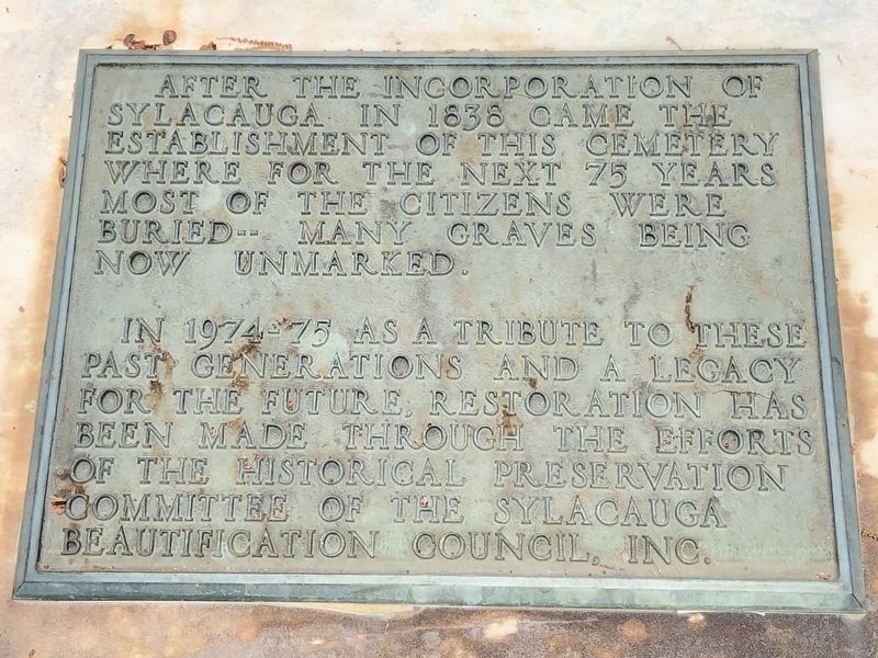
Photographed by Mark Hilton, April 2, 2019
4. Plaque located as you enter the cemetery.
Credits. This page was last revised on April 2, 2019. It was originally submitted on April 2, 2019, by Mark Hilton of Montgomery, Alabama. This page has been viewed 1,188 times since then and 77 times this year. Photos: 1, 2, 3, 4. submitted on April 2, 2019, by Mark Hilton of Montgomery, Alabama.
