On-On-Da-Ga
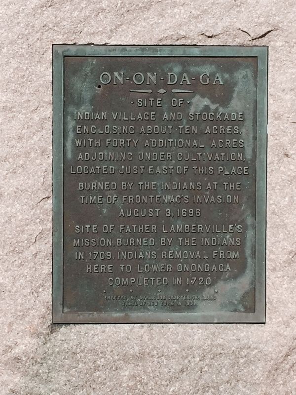
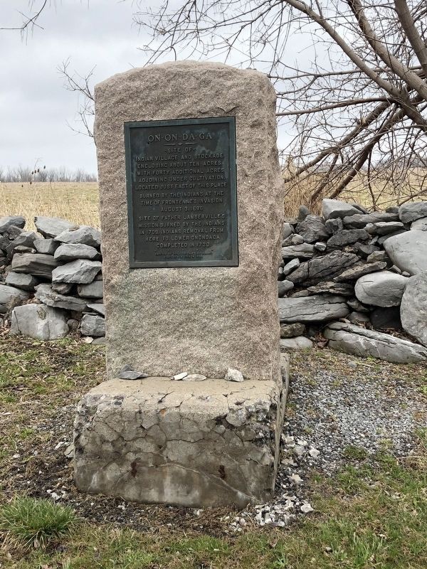
Site of Indian village and stockade enclosing about ten acres, with forty additional acres adjoining under cultivation. Located just east of this place burned by the Indians at the time of Frontenac's invasion August 3, 1696. Site of Father Lamberville's mission burned by the Indians in 1709, Indians removal from here to lower Onondaga completed in 1720. Erected by Syracuse Chapter S.A.R. and State of New York in 1933
Erected 1933 by Syracuse Chapter S.A.R. and State of New York.
Topics. This historical marker is listed in these topic lists: Colonial Era • Indigenous Peoples and Communities. A significant historical year for this entry is 1696.
Location. 42° 58.6′ N, 76° 3.922′ W. Marker is in Jamesville, New York, in Onondaga County. It is on Jamesville Pompey Road (County Route 91) one mile south of East Seneca Turnpike (County Route 173), on the right when traveling north. Touch for map. Marker is in this post office area: Jamesville NY 13078, United States of America. Touch for directions.
Regionally, this marker is in Upstate New York, specifically in Central New York, and in the Syracuse Metropolitan Area.
this page online
Other nearby markers. At least 8 other markers are within 4 miles of this marker, measured as the crow flies: Moses Dewitt (approx. half a mile away); Safety Follows Wisdom (approx. 1.1 miles away); Saving the Safety Follows Wisdom Marker (approx. 1.1 miles away); Rounds Cemetery (approx. 3.3 miles away); State Troopers (approx. 3.7 miles away); Nedrow c. 1798 (approx. 3.8 miles away); Kana-Ta-Go-Wah (approx. 4 miles away); The Iroquois Trail (approx. 4.1 miles away). Touch for a list and map of all markers in Jamesville.
Credits. This page was last revised on April 8, 2019. It was originally submitted on April 6, 2019. This page has been viewed 842 times since then and 60 times this year. Photos: 1, 2. submitted on April 6, 2019. • Bill Pfingsten was the editor who published this page.
