Keytesville in Chariton County, Missouri — The American Midwest (Upper Plains)
Keytesville
(side 1)
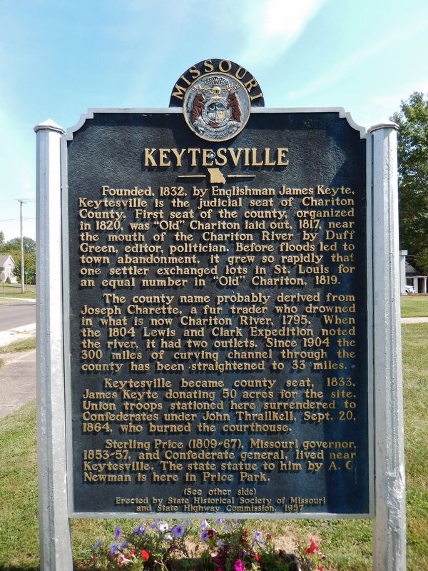
Founded, 1832, by Englishman James Keyte, Keytesville is the judicial seat of Chariton County. First seat of the county, organized in 1820, was "Old" Chariton laid out, 1817, near the mouth of the Chariton River by Duff Green, editor, politician. Before floods led to town abandonment, it grew so rapidly that one settler exchanged lots in St. Louis for an equal number in "Old" Chariton, 1819.
The county name probably derived from Joseph Charette, a fur trader who drowned in what is now Chariton River, 1795. When the 1804 Lewis and Clark Expedition noted the river, it had two outlets. Since 1904 the 300 miles of curving channel through the county has been straightened to 33 miles.
Keytesville became county seat, 1833, James Keyte donating 50 acres for the site. Union troops stationed here surrendered to Confederates under John Thrailkill, Sept. 20, 1864, who burned the courthouse.
Sterling Price (1809-67), Missouri governor, 1853-57, and Confederate general, lived near Keytesville. The state statue to him by A.G. Newman is here in Price Park.
(side 2)
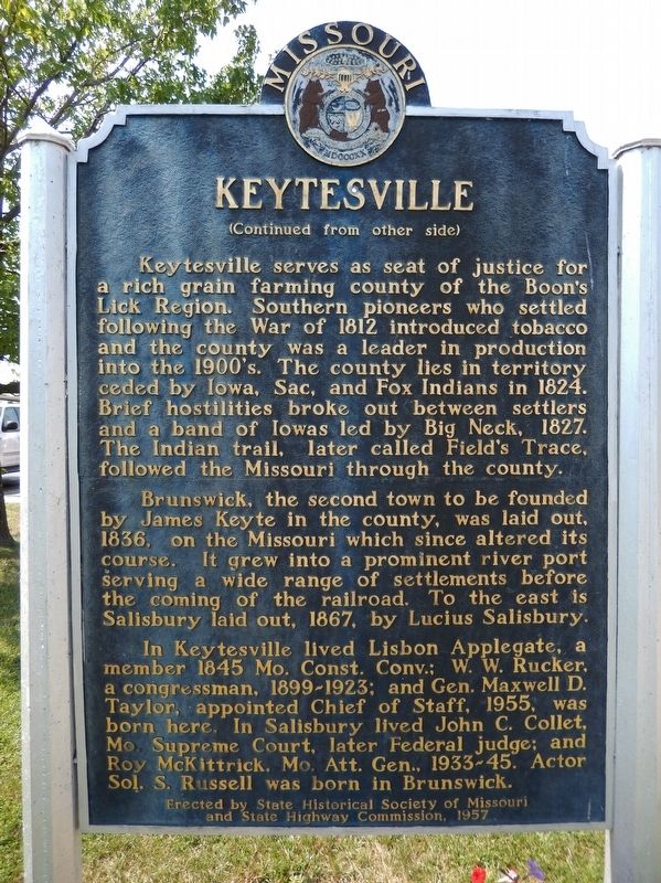
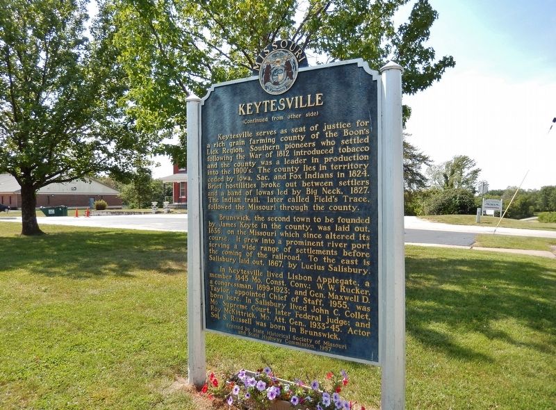
Brunswick, the second town to be founded by James Keyte in the county, was laid out, 1836, on the Missouri which since altered its course. It grew into a prominent river port serving a wide range of settlements before the coming of the railroad. To the east is Salisbury laid out, 1867, by Lucius Salisbury.
In Keytesville lived Lisbon Applegate, a member 1845 Mo. Const. Conv.; W.W. Rucker, a congressman, 1899-1923; and Gen. Maxwell D. Taylor, appointed Chief of Staff, 1955, was born here. In Salisbury lived John C. Collet, Mo. Supreme Court, later Federal judge; and Roy McKittrick, Mo. Att. Gen., 1933-45. Actor Sol. S. Russell was born in Brunswick.
and State Highway Commission, 1957
Erected 1957 by State Historical Society of Missouri, and Missouri State Highway Commission.
Topics and series. This historical marker is listed in these topic lists: Industry & Commerce • Native Americans • Settlements & Settlers • War, US Civil. In addition, it is included in the Missouri, The State Historical Society of series list. A significant historical year for this entry is 1832.
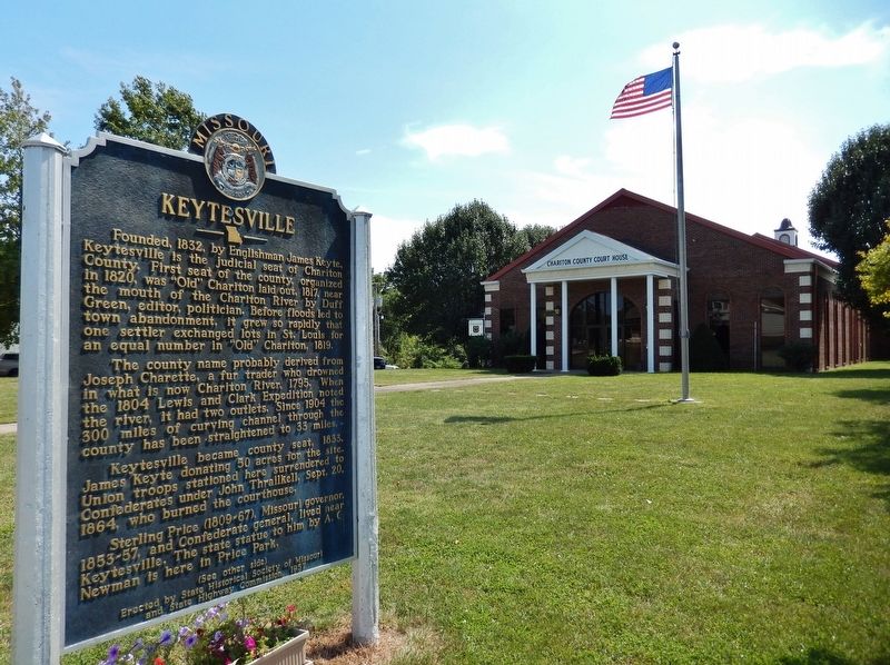
Location. 39° 25.991′ N, 92° 56.477′ W. Marker is in Keytesville, Missouri, in Chariton County. Marker is on West Jackson Street (U.S. 24) east of South Cherry Street, on the right when traveling east. Marker is located beside the sidewalk, directly in front of the Chariton County Courthouse. Touch for map. Marker is at or near this postal address: 306 South Cherry Street, Keytesville MO 65261, United States of America. Touch for directions.
Other nearby markers. At least 5 other markers are within 11 miles of this marker, measured as the crow flies. Potawatomi Indians (approx. ¼ mile away); General Sterling Price (approx. ¼ mile away); Replica of the Statue of Liberty (approx. 7.6 miles away); "World's Largest Pecan" (approx. 10.2 miles away); Trail of Death (approx. 10.2 miles away).
Also see . . .
1. Keytesville, Missouri (Wikipedia). By the mid-1890s, Keytesville had an estimated population of around 1,100 citizens. Two newspapers,
the Chariton Courier and Keytesville Signal, served the community. Business and industry at that time consisted of Keytesville Roller Mill, a large water-powered grist mill on Muscle Fork Creek, two banks, a building and loan association, two hotels, a distillery, general mercantiles, restaurants, and sundry other businesses. Due to its location 1.5 miles north of the Wabash Railroad line, the merchants of Keytesville needed a reliable and convenient way to attract potential customers. This led, in 1889, to the construction of a streetcar line, something one would only expect in much larger cities. (Submitted on April 10, 2019, by Cosmos Mariner of Cape Canaveral, Florida.)
2. General Sterling Price. Price served as governor from 1853 to 1857. By 1860, when Price led the state convention to decide Missouri’s loyalties, he had come to view slavery as an evil. However, he chose to side with the Confederacy when the Civil War broke out because he feared the Federal government’s use of force in Missouri. (Submitted on April 10, 2019, by Cosmos Mariner of Cape Canaveral, Florida.)
Credits. This page was last revised on April 11, 2019. It was originally submitted on April 8, 2019, by Cosmos Mariner of Cape Canaveral, Florida. This page has been viewed 398 times since then and 37 times this year. Photos: 1, 2, 3, 4. submitted on April 10, 2019, by Cosmos Mariner of Cape Canaveral, Florida.


