Santa María del Río, San Luis Potosí, Mexico — The Northeast (and Central Highlands)
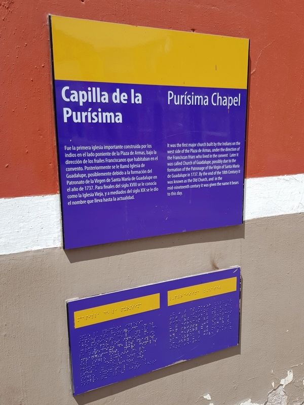
Purísima Chapel
Photographed by J. Makali Bruton, March 16, 2019
1. Purísima Chapel Marker

Fue la primera iglesia importante construida por los indios en el lado poniente de la Plaza de Armas, bajo la dirección de los frailes Franciscanos que habitaban en el convento. Posteriormente se le llamó Iglesia de Guadalupe, posiblemente debido a la formación del Patronato de la Virgen de Santa María de Guadalupe en el año de 1737. Para finales del siglo XVIII se le conocía como la Iglesia Vieja, y a mediados del siglo XIX se le dio el nombre que lleva hasta la actualidad.
Purísima Chapel
It was the first major church built by the Indians on the west side of the Plaza de Armas, under the direction of the Franciscan friars who lived in the convent. Later it was called Church of Guadalupe, possibly due to the formation of the Patronage of the Virgin of Santa María de Guadalupe in 1737. By the end of the 18th Century it was known as the Old Church, and in the mid-nineteenth century it was given the name it bears to this day.
Topics. This historical marker is listed in these topic lists: Colonial Era • Man-Made Features • Religion & Religious Structures. A significant historical year for this entry is 1737.
Location. 21° 48.048′ N,
this page online

Regionally, this marker is in Northern Mexico, in the Bajío, and in the Sierra Madre. Globally, it is in North America and the Western Hemisphere. Historically, it finds itself in what was once New Spain and also a Spanish colony.
Other nearby markers. At least 8 other markers are within walking distance of this marker: Otomíes and Guachichiles (here, next to this marker); Tourism Office (a few steps from this marker); The Parochial School of Music (a few steps from this marker); Primo Feliciano Velázquez Rodríguez (within shouting distance of this marker); City Hall (within shouting distance of this marker); Foundation of Santa María del Río (within shouting distance of this marker); Hidalgo Garden (within shouting distance of this marker); Dividing Line Between Otomíes and Guachichiles (about 90 meters away,
Photographed by J. Makali Bruton, March 16, 2019
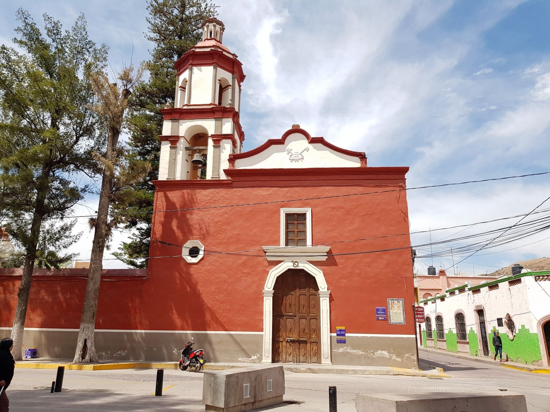
2. Purísima Chapel and Marker
The marker is just to the right of the main entrance to the chapel.
Credits. This page was last revised on April 12, 2019. It was originally submitted on April 12, 2019, by J. Makali Bruton of Washington, District of Columbia. This page has been viewed 203 times since then and 9 times this year. Photos: 1, 2. submitted on April 12, 2019, by J. Makali Bruton of Washington, District of Columbia.
