
Near Front Royal in Warren County, Virginia — The American South (Mid-Atlantic)
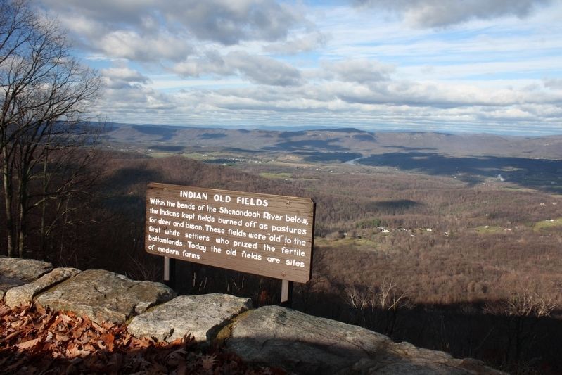
Indian Old Fields
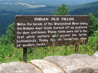
Photographed by Craig Swain, June 30, 2007
1. Indian Old Fields Marker
Topics. This historical marker is listed in these topic lists: Indigenous Peoples and Communities • Natural Features.
Location. 38° 50.542′ N, 78° 12.448′ W. Marker is near Front Royal, Virginia, in Warren County. It is on Skyline Drive, on the right when traveling south. Located at the Gooney Run Overlook in Shenandoah National Park. Touch for map. Marker is in this post office area: Front Royal VA 22630, United States of America. Touch for directions.

Regionally, this marker is in the Washington Metropolitan Area and in the Shenandoah Valley. It is also in the American South, specifically in the Upper South, and in the Mid-Atlantic. Globally, it is in North America, the Western Hemisphere, the Western World, and the Anglosphere. Historically, it finds itself in what was once the territory of the Mississippian
this page online
Other nearby markers. At least 8 other markers are within 5 miles of this marker, measured as the crow flies: No Park is an Island (approx. 1.1 miles away); The Massanutten (approx. 1.1 miles away); Asbury Chapel (approx. 3.4 miles away); Piedmont (approx. 3.6 miles away); Belle Boyd (approx. 4.2 miles away); Minding the Gaps (approx. 4.3 miles away); Chester Gap (approx. 4.3 miles away); Warren County / Rappahannock County (approx. 4.3 miles away). Touch for a list and map of all markers in Front Royal.
Another marker is no longer nearby. Belle Boyd and Jackson (was approx. 4 miles away but has been confirmed missing).
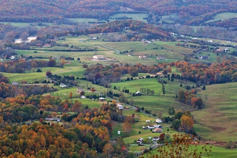
Photographed by Chi Wan, Kim, November 2, 2008
2. Indian Old Fields
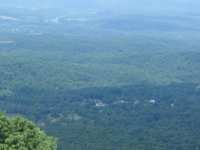
Photographed by Craig Swain, June 30, 2007
3. Bends of the South Fork of the Shenadoah River
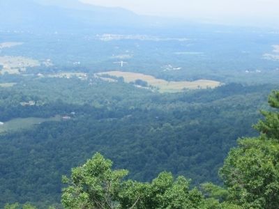
Photographed by Craig Swain, June 30, 2007
4. Modern Fields in the Bends of the River
Photographed by Thomas Trigo, December 3, 2009
5. Indian Old Fields Marker
Credits. This page was last revised on May 26, 2025. It was originally submitted on November 1, 2008, by Craig Swain of Leesburg, Virginia. This page has been viewed 2,133 times since then and 41 times this year. Photos: 1. submitted on November 1, 2008, by Craig Swain of Leesburg, Virginia. 2. submitted on November 22, 2018, by Chi Wan, Kim of Seoul, Republic of Korea. 3, 4. submitted on November 1, 2008, by Craig Swain of Leesburg, Virginia. 5. submitted on May 25, 2025, by Thomas Trigo of Crozet, Virginia.
