Silver Springs in Marion County, Florida — The American South (South Atlantic)
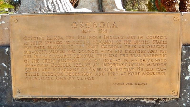
Osceola
1804-1838
Photographed by Cosmos Mariner, March 10, 2015
1. Osceola Marker
October 23, 1834, the Seminole Indians met in council at these springs to discuss demands of the United States for their removal to the West. Osceola, then an obscure sub-chief, swayed the council with his oratory and set the Indians against removal. This was the real beginning of the Great Seminole War of 1835-42, in which, as head War-Chief, Osceola became an important Indian Military genius and strategist of American History. He was captured through deception and died at Fort Moultrie, Charleston, January 30, 1838.
Bernice West, Sculptor
Topics. This historical marker is listed in these topic lists: Indigenous Peoples and Communities • Wars, US Indian. A significant historical date for this entry is October 23, 1834.
Location. 29° 12.941′ N, 82° 3.142′ W. Marker is in Silver Springs, Florida, in Marion County. It can be reached from Northeast 29th Place half a mile south of East Silver Springs Boulevard (State Highway 40). Statue and marker are located along the River Trail in Silver Springs State Park, overlooking the springs, about 2/10 mile walk around the springs from the park entrance. Touch for map. Marker is at or near
this page online

Regionally, this marker is in the American South. Globally, it is in the North Atlantic Region, North America, a Gulf of Mexico state, the Western Hemisphere, the Western World, and the Anglosphere. Historically, it finds itself in what was once New Spain, the territory of the Mississippian Culture, one of the Confederate States of America, and the Antebellum South.
Other nearby markers. At least 8 other markers are within walking distance of this marker: Silver Springs Paradise Park (within shouting distance of this marker); Florida’s Springs: Our Precious Resource (about 300 feet away, measured in a direct line); From Disaster to Award-Winning Design (about 400 feet away); Sea Hunt (about 400 feet away); Steamboats at the Spring (about 500 feet away); The Creature (about 500 feet away); A Brief Human History of Florida and Silver Springs State Park (about 500 feet away); Florida’s Roadside Attractions (about 500 feet away). Touch for a list and map of all markers in Silver Springs.
Also see . . .
1. Seminole Chief Osceola, Billy Powell.
Photographed by Cosmos Mariner, March 10, 2015
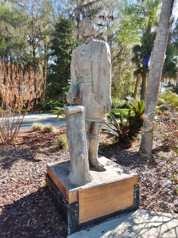
2. Osceola Monument (marker located at base of statue)
Osceola was named Billy Powell at birth in 1804 in the Creek village of Talisi, now known as Tallassee, Alabama, in current Elmore County. He was born to Polly Coppinger, a Creek woman, and William Powell, an English trader. (Submitted on November 15, 2024, by Larry Gertner of New York, New York.)
2. Second Seminole War (1835–1842). Brittanica website entry:
In 1830 President Andrew Jackson signed the Indian Removal Act, authorizing the resettlement of all Native American peoples to lands west of the Mississippi. It called for the Seminoles to move within three years to the land assigned to Creek Indians west of the Mississippi. Osceola emerged as a leader among the Seminoles determined to resist resettlement. Throughout 1836 Seminoles attacked plantations, outposts, and supply lines, and they stymied several efforts by the United States to subdue them. Over the next four years, small engagements continued to take place, and increasing numbers of Seminoles were induced or forced to move west to the Creek reservation. (Submitted on April 15, 2019, by Cosmos Mariner of Cape Canaveral, Florida.)
Photographed by Cosmos Mariner, March 10, 2015
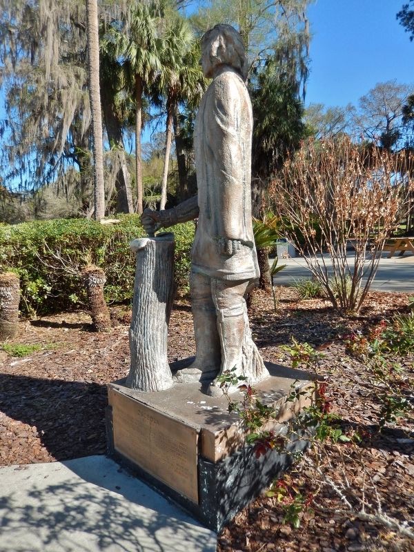
3. Osceola Monument (side view; marker located at base of statue)
Credits. This page was last revised on November 15, 2024. It was originally submitted on April 15, 2019, by Cosmos Mariner of Cape Canaveral, Florida. This page has been viewed 2,086 times since then and 162 times this year. Photos: 1, 2, 3. submitted on April 15, 2019, by Cosmos Mariner of Cape Canaveral, Florida.
