Phoenicia in Ulster County, New York — The American Northeast (Mid-Atlantic)
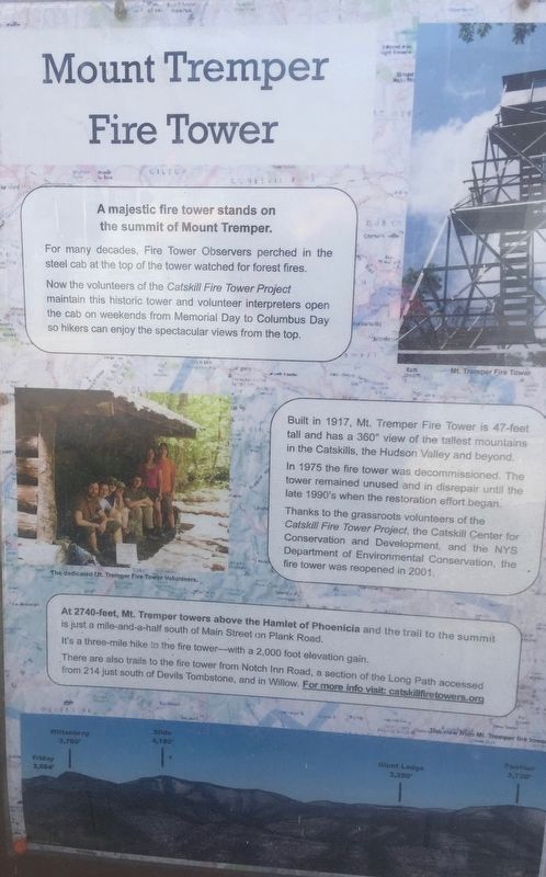
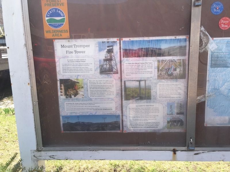
Mount Tremper Fire Tower
A majestic fire tower stands on the summit of Mount Tremper.
For many decades, Fire Tower Observers perched in the steel cab at the top of the tower watched for forest fires.
Now the volunteers of the Catskill Fire Tower Project maintain this historic tower and volunteer interpreters open the cab on weekends from Memorial Day to Columbus Day so hikers can enjoy the spectacular views from the top.
Built in 1917, Mt. Tremper Fire Tower is 47-feet tall and has a 360° view of the tallest mountains in the Catskills, the Hudson Valley and beyond.
In 1975 the fire tower was decommissioned. The tower remained unused and in disrepair until the late 1990's when the restoration effort began.
Thanks to the grassroots volunteers of the Catskill Fire Tower Project, the Catskill Center for Conservation and Development, and the NYS Department of Environmental Conservation, the fire tower was reopened in 2001.
The dedicated Mt. Tremper Fire Tower Volunteers. At 2740-feet, Mt. Tremper towers above the Hamlet of Phoenicia and the trail to the summit is just a mile-and-a-half south of Main Street on Plank Road.
It's a three-mile hike to the fire tower-with a 2,000 foot elevation gain.
There are also trails to the fire tower from Notch Inn Road, a section of the Long Path accessed south of Devils Tombstone, and in Willow. For more info visit: catskilfiretowers.org
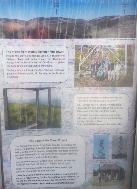
The views from Mount Tremper Fire Tower include the Burroughs Range; West Kill, Hunter and Plateau; Twin and Indian Head; the Blackhead Range is off in the distance; and Overlook completes the semi circle of great Catskill Mountains
To the south you look across the Ashokan Reservoir past the Shawangunks, all the way to the Hudson Highlands.
Every year, hundreds of hikers visit the fire Tower and are greeted by a volunteer.
Mt. Tremper has 15 Volunteer Interpreters who open the cab at the top of the tower so hikers can enjoy the view from inside.
The cab is open from late-morning to mid-afternoon on weekends from Memorial Day through Columbus Day.
Visit catskillfiretowers.org for more info.
The Catskill Fire Tower Project
The Catskill Fire Tower Project was founded to preserve the culture and history of the Catskill Mountains while promoting hiking in this beautiful region. Grassroots volunteers and their partners led the effort to restore the five fire towers within the Catskill Park and open them to the public.
Now, the fire towers on Balsam Lake Mountain, Hunter Mtn, Overlook Mtn, Red Hill, and Mt. Tremper, are all open.
Over 125 volunteers work to maintain these towers and welcome hikers from all over the world. There is always a need for new volunteers. If you are interested in volunteering for the Catskill Fire Tower Project, or would like more information on the fire towers, contact: [email protected] or visit catskillfiretowers.org
Erected by Catskill Fire Tower Project.
Topics. This historical marker is listed in these topic lists: Environment • Horticulture & Forestry • Man-Made Features. A significant historical year for this entry is 1917.
Location. 42° 4.985′ N, 74° 18.932′ W. Marker is in Phoenicia, New York, in Ulster County. Marker is at the intersection of New York State Route 214 and Main Street, on the right when traveling south on State Route 214. Marker is beside the gazebo on the stream bank. Touch for map. Marker is in this post office area: Phoenicia NY 12464, United States of America. Touch for directions.
Other nearby markers. At least 8 other markers are within 5 miles of this marker, measured as the crow flies. Shandaken Eagle (approx. 0.2 miles away); Phoenicia Station Centennial (approx. 0.4 miles away); Chichester (approx. 1.4 miles away); Catskill Mountains - Shandaken Area (approx. 2.4 miles away); Zen Mountain Monastery (approx. 3.1 miles away); Catskill Water Supply System (approx. 3.3 miles away); Fort Shandaken (approx. 4 miles away); Catskill Communities (approx. 4.4 miles away). Touch for a list and map of all markers in Phoenicia.
Regarding Mount Tremper Fire Tower. That's quite a hike. It has an average gradient of 13%
Credits. This page was last revised on April 18, 2019. It was originally submitted on April 16, 2019, by Steve Stoessel of Niskayuna, New York. This page has been viewed 141 times since then and 23 times this year. Photos: 1, 2, 3. submitted on April 16, 2019, by Steve Stoessel of Niskayuna, New York. • Andrew Ruppenstein was the editor who published this page.


