Rock Spring in Walker County, Georgia — The American South (South Atlantic)
Peavine Church
Chickamauga Campaign Heritage Trail
Photographed by David Tibbs, October 12, 2008
1. Peavine Church Marker
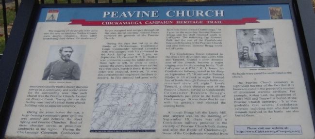
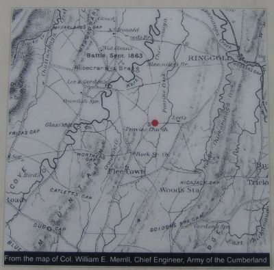
During the years before the war a large farming community grew up in the area around and between the Rock Spring and Peavine Churches. Both of these churches served as prominent landmarks in the region. During the Chickamauga Campaign, Confederate forces occupied and camped throughout this area, and at one time Federal forces occupied the grounds of the Peavine Church.
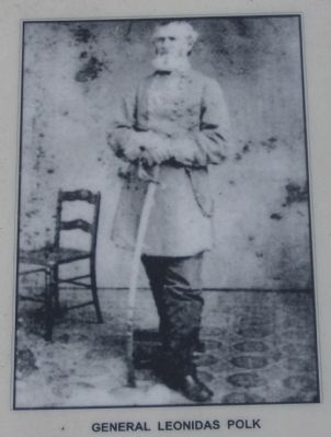
During the days that led up to the Battle of Chickamauga, Confederate Corps Commander Leonidas Polk was camped with his command in the Rock Spring area. At 2 p.m. on September 13, General H.T. B. Walker was ordered to swing his entire division from right to left, in order to strike against enemy forces that were said to be a Peavine
this page online
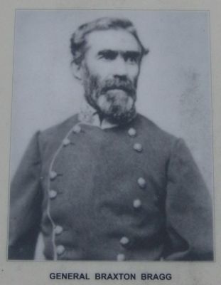
The Confederate forces returned to the area a few days later, and Leet’s Mill and Tanyard, located a short distance east of the church, became a major staging area for the coming battle. “Left LaFayette at 4 P.M.,” R. J. Jones, 1st Confederate Infantry, noted in his diary on September 17, “& arrived at Patton’s St[o]re at 10 o’clock at night. Formed line of battle through Patton’s fields and remained there all night.” Leet’s Tanyard, a short distance east of the Peavine Church, served as Confederate Commander Braxton Bragg’s headquarters just prior to the battle of Chickamauga. It was there that he met with his generals and planned the upcoming battle.
Although
Photographed by David Tibbs, October 12, 2008
2. Peavine Church Marker-Gen. Braxton Bragg
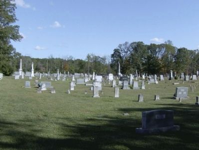
The Peavine Church cemetery is significant because of the fact that it is known to contain the graves of a number of prominent wartime civilians. For example, Arthur Leet, the proprietor of Leet’s Mill and Tanyard is buried at the Peavine Church cemetery. It is also probable that several Confederate veterans including men who died from wounds received in the battle are also buried there.
Erected by Chickamauga Campaign Heritage Trail.
Topics and series. This historical marker is listed in these topic lists: Cemeteries & Burial Sites • Religion & Religious Structures • Settlements & Settlers • War, US Civil • Waterways & Vessels. In addition, it is included in the Chickamauga Campaign Heritage Trail series list. A significant historical month for this entry is September 1857.
Location. 34° 50.778′ N, 85° 13.285′ W. Marker is in Rock
Photographed by David Tibbs, October 12, 2008
3. Peavine Church Marker-Gen. Leonidas Polk

Regionally, this marker is in the Mountains. It is also in the American South, specifically in the Deep South, in Appalachia, and specifically in Southern Appalachia. Globally, it is in North America, the Western Hemisphere, the Western World, and the Anglosphere. Historically, it finds itself in what was once the original Cherokee Nation, the territory of the Mississippian Culture, one of the original Thirteen Colonies, one of the Confederate States of America, and the Antebellum South.
Other nearby markers. At least 8 other markers are within 3 miles of this marker, measured as the crow flies: The Napier House (approx. 2 miles away); Anderson Campsite (approx. 2 miles away); Old Tavern Road (approx. 2.1 miles away); Henderson Plantation (approx. 2.4 miles away); Clarissa Hunt Plantation (approx. 2.7 miles away); Worthen's Gap (approx. 3 miles away); Glass's Mill Battle Site (approx. 3 miles away); a different
Photographed by David Tibbs, October 12, 2008
4. Peavine Church Marker-Map
Other markers no longer nearby. Leet's Spring and Tanyard (was approx. 1.8 miles away but has been reported to have been replaced with another marker now near it); Rock Springs Church (was approx. 2.2 miles away but has been confirmed missing); Helm's Brigade (was approx. 3 miles away but has been confirmed missing).
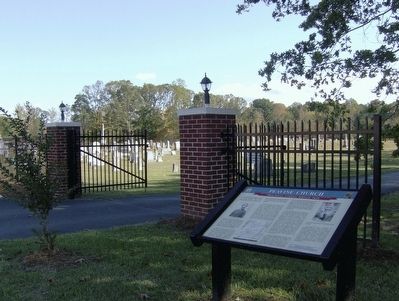
More about this marker. Chickamauga Campaign Heritage Trail, Army of Tennessee site #10 The marker is at the entrance to the cemetery.
Also see . . .
1. Peavine Baptist Church Website. (Submitted on November 2, 2008, by David Tibbs of Resaca, Georgia.)
2. The Chickamauga Campaign Heritage Trail. (Submitted on November 2, 2008, by David Tibbs of Resaca, Georgia.)
Photographed by David Tibbs, October 12, 2008
5. Peavine Church Cemetery and Marker
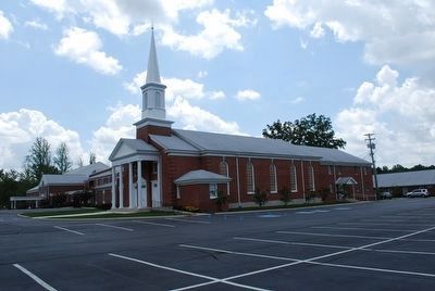
The church as described by the marker does not exist in its original state. Over the years it has expanded, including at the time of this writing, major construction was being done.
Photographed by Brandon Fletcher, July 23, 2012
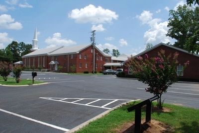
6. Peavine Church Marker
Marker in relation to Peavine Church
Photographed by Brandon Fletcher, July 23, 2012
7. Peavine Church Today
Photographed by David Tibbs, October 12, 2008
8. Peavine Church Cemetery
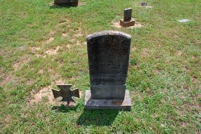
Photographed by Brandon Fletcher, July 23, 2012
9. W.A. Theoford- Confederate Grave
Died Sept 20, 1863. Possibly killed at Battle of Chickamauga.
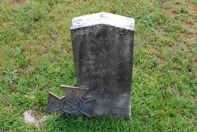
Photographed by Brandon Fletcher, July 23, 2012
10. James A. Cartwright- Confederate Grave
12 GA Cav
CSA
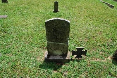
Photographed by Brandon Fletcher, July 23, 2012
11. L.W. Meek- Confederate Grave
Died Aug. 4, 1863. Possibly wounded at Battle of Chickamauga.
Credits. This page was last revised on February 1, 2020. It was originally submitted on November 2, 2008, by David Tibbs of Resaca, Georgia. This page has been viewed 3,223 times since then and 80 times this year. Photos: 1, 2, 3, 4, 5. submitted on November 2, 2008, by David Tibbs of Resaca, Georgia. 6, 7. submitted on September 15, 2015, by Brandon Fletcher of Chattanooga, Tennessee. 8. submitted on November 2, 2008, by David Tibbs of Resaca, Georgia. 9, 10, 11. submitted on September 15, 2015, by Brandon Fletcher of Chattanooga, Tennessee. • Craig Swain was the editor who published this page.
