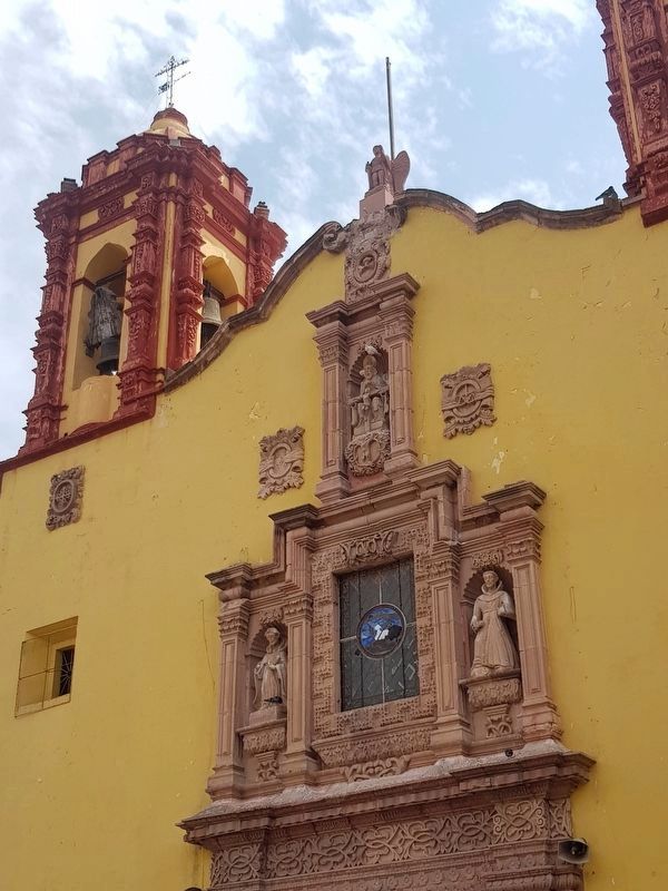
San Luis Potosí, Mexico — The Northeast (and Central Highlands)
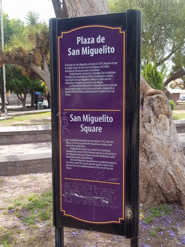
San Miguelito Square
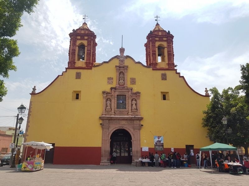
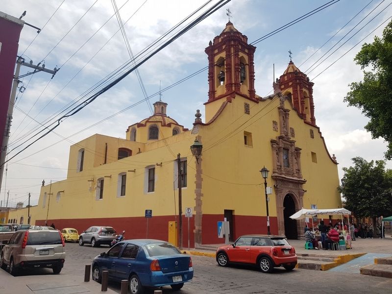
El Templo de San Miguelito se fundó en 1597, después de que el alcalde mayor de San Luis les otorgara a los ind tlaxcaltecas tierras para que se asentaran.
Originalmente este barrio se llamaba “De la Santísima Trinidad”, pero alrededor de 1830 se le empezó a conocer como Barrio de San Miguelito, debido al cariño que los habitantes le tenían a su patrono San Miguel.
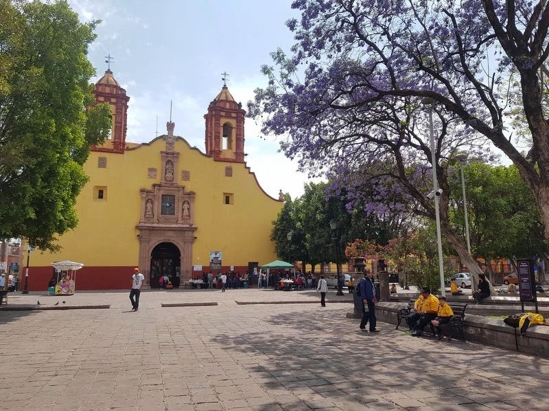
La Plaza de San Miguelito se hizo peatonal en la década de los setenta para unir el atrio con el jardín, siendo este el corazón del barrio más tradicional de la ciudad de San Luis Potosí.
San Miguelito Square
The San Miguelito Temple was founded in 1597, after the Mayor of San Luis granted the Tlaxcaltecan Indians land where they could settle.
Originally this barrio was called “De la Santísima Trinidad,” but around 1830 it became known as the Barrio of San Miguelito, because of how much the inhabitants cared about their patron Saint Michael.
The San Miguelito Square became a pedestrian plaza in the 70's to unite the atrium with the garden, which is the heart of the most traditional barrio of the city of San Luis Potosí.
Topics. This historical marker is listed in these topic lists: Churches & Religion • Colonial Era • Man-Made Features • Parks & Recreational Areas. A significant historical year for this entry is 1597.
Location. 22° 8.702′ N, 100° 58.574′ W. Marker is in San Luis Potosí. Marker is on Prolongación Pedro Vallejo just south of Miguel Barragán, on the right when traveling south. Touch for map. Marker is in this post office area: San Luis Potosí 78000, Mexico. Touch for directions.
Other nearby markers. At least 8 other markers are within walking distance of this marker. Water Reservoir (about 210 meters away, measured in a direct line); Guadalupe Road (about 210 meters away); The 100th Anniversary of Mexican Independence (about 210 meters away); José Nereo Ambrosio Rodríguez Barragán (about 240 meters away); Colón Garden (approx. 0.2 kilometers away); Ramón López Velarde (approx. 0.3 kilometers away); La Cubana (approx. 0.3 kilometers away); First Capital of the Itinerant Government (approx. 0.3 kilometers away). Touch for a list and map of all markers in San Luis Potosí.
Photographed By J. Makali Bruton, March 17, 2019
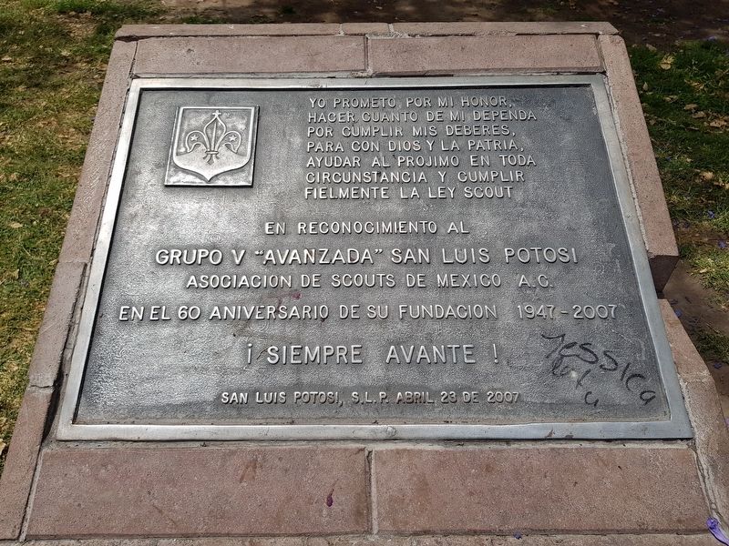
6. A nearby marker on the 60th anniversary of Group V, local Boy Scout Association
En reconocimiento al Grupo V “Avanzada” San Luis Potosi
Asociacion de Scouts de Mexico A.C.
en el 60 aniversario de su fundación 1947-2007
¡Siempre Avante!
San Luis Potosi, S.L.P. abril 23 de 2007
Credits. This page was last revised on January 25, 2021. It was originally submitted on April 19, 2019, by J. Makali Bruton of Accra, Ghana. This page has been viewed 196 times since then and 15 times this year. Photos: 1, 2, 3, 4, 5, 6. submitted on April 19, 2019, by J. Makali Bruton of Accra, Ghana.
