Near Hinton in Summers County, West Virginia — The American South (Appalachia)
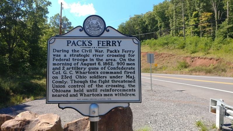
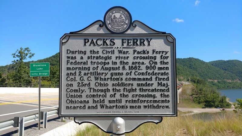
Pack's Ferry
Erected 2016 by West Virginia Archives and History.
Topics and series. This historical marker is listed in these topic lists: War, US Civil • Waterways & Vessels. In addition, it is included in the West Virginia Archives and History series list. A significant historical date for this entry is August 6, 1862.
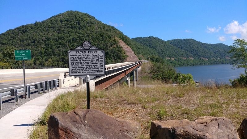
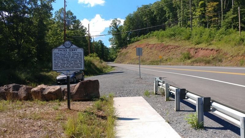
Location. 37° 36.59′ N, 80° 55.092′ W. Marker is near Hinton, West Virginia, in Summers County. Marker is on West Virginia Route 20, ¼ mile south of Bluestone Park Road, on the left when traveling south. Located at south end of the Bluestone Lake bridge (Lilly Bridge). Touch for map. Marker is in this post office area: Hinton WV 25951, United States of America. Touch for directions.
Other nearby markers. At least 8 other markers are within 5 miles of this marker, measured as the crow flies. Lilly Bridge (approx. ¼ mile away); Lilly (approx. 0.4 miles away); Giles, Fayette & Kanawha Turnpike (approx. 1.1 miles away); Home of Jack Warhop (approx. 3.1 miles away); Fort Culbertson (approx. 3½ miles away); Wreck on the C&O (approx. 3.6 miles away); Summers County (approx. 4.6 miles away); Hinton (approx. 4.6 miles away). Touch for a list and map of all markers in Hinton.
Credits. This page was last revised on June 14, 2020. It was originally submitted on April 22, 2019, by Michael C. Wilcox of Winston-Salem, North Carolina. This page has been viewed 532 times since then and 45 times this year. Photos: 1, 2, 3, 4. submitted on April 22, 2019, by Michael C. Wilcox of Winston-Salem, North Carolina.


