Old Glebe in Arlington in Arlington County, Virginia — The American South (Mid-Atlantic)
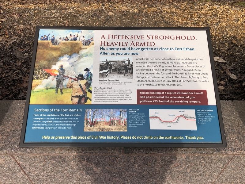
A Defensive Stronghold, Heavily Armed
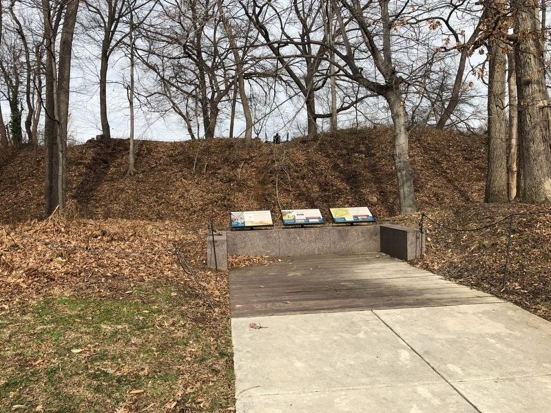
Photographed By Devry Becker Jones (CC0), January 27, 2019
1. A Defensive Stronghold, Heavily Armed Marker
A half-mile perimeter of earthen walls and deep ditches enclosed the fort. Inside, as many as 1,000 soldiers manned the fort's 36 gun emplacements. Some pieces of artillery had a range of several miles. A rugged, steep ravine between the fort and the Potomac River near Chain Bridge also deterred an attack. The closest fighting to Fort Ethan Allen occurred in July 1864 at Fort Stevens, six miles to the northeast in Washington, D.C.
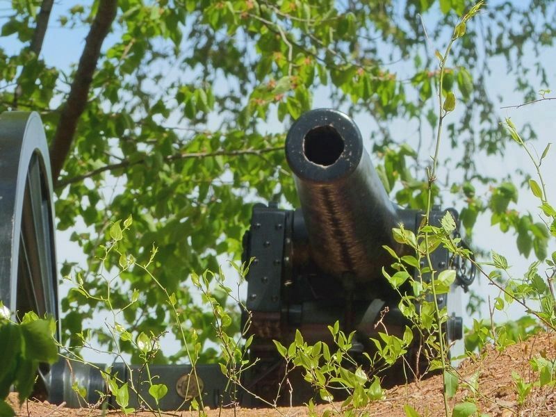
You are looking at a replica 20-pounder Parrott rifle positioned at the reconstructed gun platform #23, behind the surviving rampart.
(Captions)
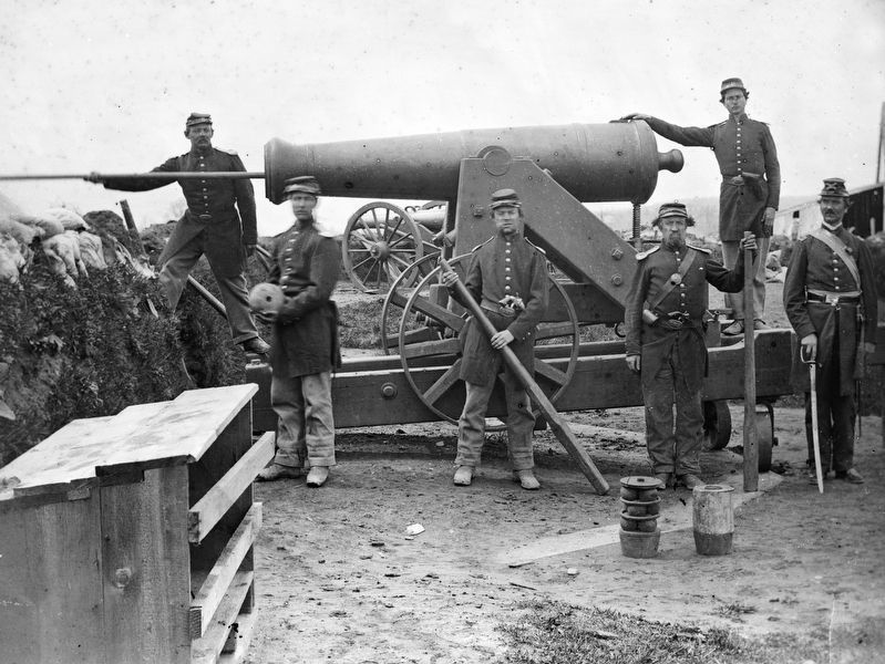
Loading a Cannon, 1862
When firing artillery soldiers stood on a level earthen platform behind the fort's steep, thick walls.
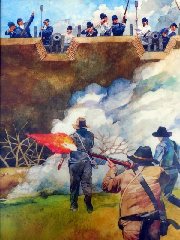
Defending an Attack
Fort Ethan Allen never came under Confederate attack. If it had, Union riflemen—concealed in deep trenches and firing from higher ground—would have had the advantage over Confederate troops moving across open terrain. Further, the fort's soldiers would have been at the ready, warned of Confederate movements by messages relayed along a series of posts as far west as Vienna, Virginia.
(sidebar)
Sections of the Fort Remain
Parts of the south face of the fort are visible. A rampart—the fort's main earthen wall—rose behind a deep ditch that surrounded the fort to impede enemy access. Cannons fired through embrasures (gunports) in the fort's wall.
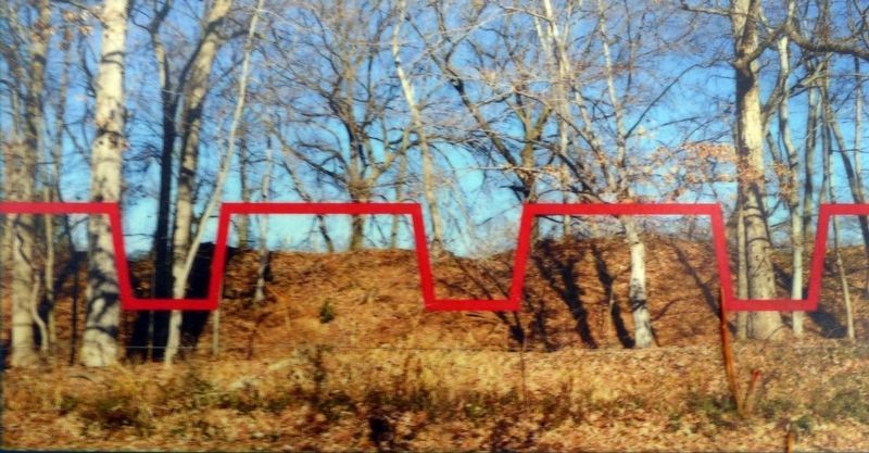
The Face of the Fort
The red line indicates the locations of the gun ports and the height of the rampart before it eroded. Trees now grow in what was a steeply sloped, 6-foot ditch.
The Fort in Profile
The red line superimposed on an 1871 engineer's drawing shows subsequent changes in the profile of the landscape.
Topics. This historical marker is listed in these topic lists: Forts and Castles • War, US Civil. A significant historical month for this entry is July 1864.
Location. 38° 55.42′ N, 77° 7.463′ W. Marker is in Arlington, Virginia, in Arlington County. It is in Old Glebe. Marker is on North Strafford Street east of North Old Glebe Road, on the right when traveling west. Touch for map. Marker is at or near this postal address: 3829 North Strafford Street, Arlington VA 22207, United States of America. Touch for directions.
Other nearby markers. At least 8 other markers are within walking distance of this marker. A Bastion-Style Fort Is a Mighty Fortress (here, next to this marker); Welcome to Fort Ethan Allen (here, next to this marker);
Photographed By Devry Becker Jones (CC0), January 27, 2019
2. A Defensive Stronghold, Heavily Armed Marker
Photographed By Allen C. Browne, April 20, 2019
3. Defending an Attack
Fort Ethan Allen never came under Confederate attack. If it had, Union riflemen—concealed in deep trenches and firing from higher ground—would have had the advantage over Confederate troops moving across open terrain. Further, the fort's soldiers would have been at the ready, warned of Confederate movements by messages relayed along a series of posts as far west as Vienna, Virginia.Close-up of image on marker
Credits. This page was last revised on February 1, 2023. It was originally submitted on January 27, 2019, by Devry Becker Jones of Washington, District of Columbia. This page has been viewed 314 times since then and 12 times this year. Last updated on April 23, 2019, by Allen C. Browne of Silver Spring, Maryland. Photos: 1, 2. submitted on January 27, 2019, by Devry Becker Jones of Washington, District of Columbia. 3, 4, 5. submitted on April 21, 2019, by Allen C. Browne of Silver Spring, Maryland. 6, 7. submitted on April 23, 2019, by Allen C. Browne of Silver Spring, Maryland. • Andrew Ruppenstein was the editor who published this page.
