San Luis Potosí, Mexico — The Northeast (and Central Highlands)
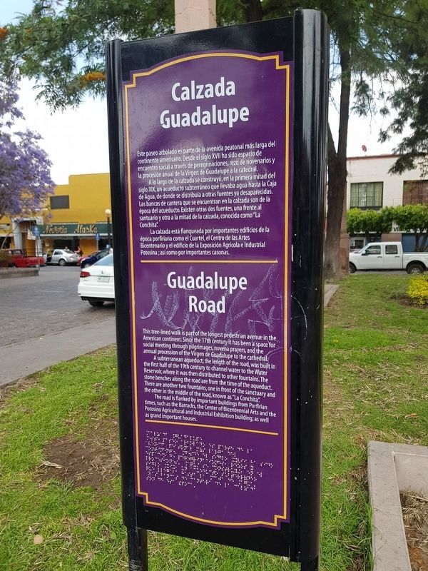
Guadalupe Road
Este paseo arbolado es parte de la avenida peatonal más larga del continente americano. Desde el siglo XVII ha sido espacio de encuentro social a través de peregrinaciones, rezo de novenarios y la procesión anual de la Virgen de Guadalupe a la catedral.
A lo largo de la calzada se construyó, en la primera mitad del siglo XX, un acueducto subterráneo que llevaba agua hasta la Caja de Agua, de donde se distribuía a otras fuentes ya desaparecidas. Las bancas de cantera que se encuentran en la calzada son de la época del acueducto. Existen otras dos fuentes, una frente al santuario y otra a la mitad de la calzada, conocida como “La Conchita”.
La calzada está flanqueada por importantes edificios de la época porfiriana como el Cuartel, el Centro de las Artes Bicentenario y el edificio de la Exposición Agrícola e Industrial Potosina; así como por importantes casonas.
Guadalupe Road
This tree-lined walk is part of the longest pedestrian avenue in the American continent. Since the 17th century it has been a space for social meeting through pilgrimages, novena prayers, and the annual procession of the Virgen de Guadalupe to the cathedral.
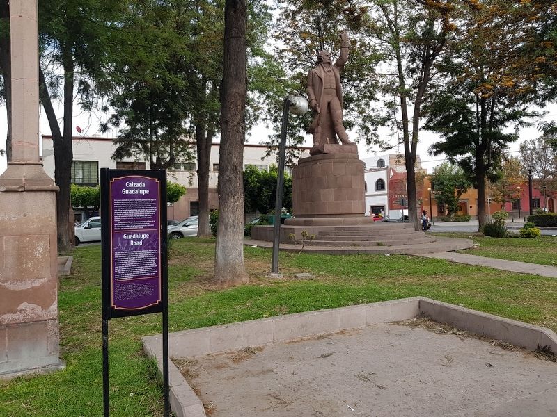
A subterranean aqueduct, the length of the road, was built in the first half of the 19th century to channel water to the Water Reservoir, where it was then distributed to other fountains. The stone benches along the road are from the time of the aqueduct. There are another two fountains, one in front of the sanctuary and the other in the middle of the road, known as “La Conchita”.
The road is flanked by important buildings from Porfirian times, such as the Barracks, the Center of Bicentennial Arts and the Potosino Agricultural and Industrial Exhibition building; as well as grand important houses.
Topics. This historical marker is listed in these topic lists: Man-Made Features • Parks & Recreational Areas • Roads & Vehicles.
Location. 22° 8.757′ N, 100° 58.467′ W. Marker is in San Luis Potosí. Marker is at the intersection of Calzada de Guadalupe and Miguel Barragán, on the left when traveling south on Calzada de Guadalupe. Touch for map. Marker is in this post office area: San Luis Potosí 78000, Mexico. Touch for directions.
Other nearby markers. At least 8 other markers are within walking distance of this marker. Water Reservoir (within shouting distance of this marker); The 100th Anniversary of Mexican Independence (within shouting distance of this marker); Colón Garden
(about 90 meters away, measured in a direct line); La Cubana (about 120 meters away); San Miguelito Square (about 210 meters away); José Nereo Ambrosio Rodríguez Barragán (approx. 0.2 kilometers away); Ramón López Velarde (approx. 0.3 kilometers away); First Capital of the Itinerant Government (approx. 0.3 kilometers away). Touch for a list and map of all markers in San Luis Potosí.
Credits. This page was last revised on April 25, 2019. It was originally submitted on April 25, 2019, by J. Makali Bruton of Accra, Ghana. This page has been viewed 136 times since then and 14 times this year. Photos: 1, 2, 3. submitted on April 25, 2019, by J. Makali Bruton of Accra, Ghana.


