Near Rogersville in Lauderdale County, Alabama — The American South (East South Central)
Elk River Shoals
Photographed by Sandra Hughes, January 7, 2019
1. Elk River Shoals Marker
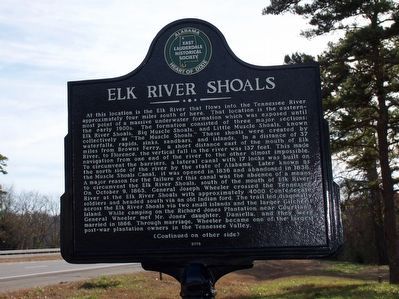
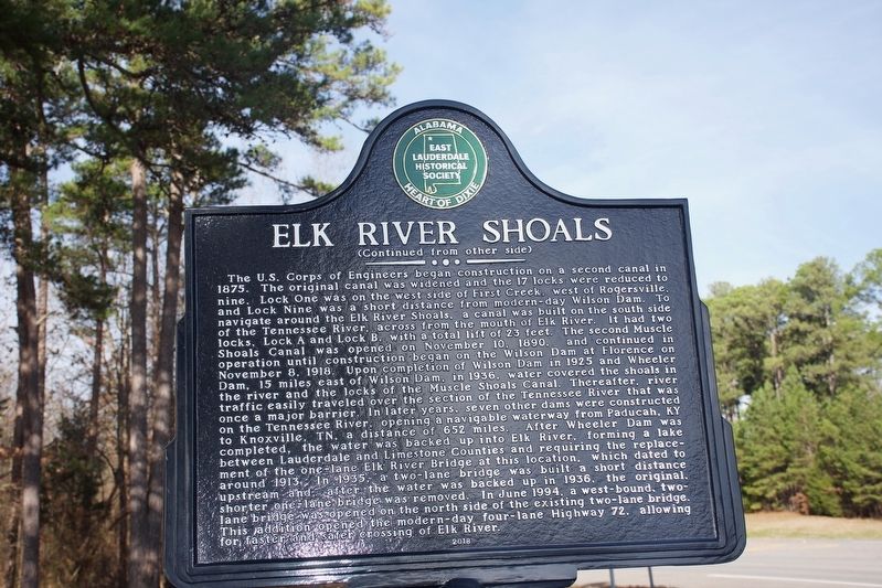
At this location is the Elk River that flows into the Tennessee River approximately four miles south of here. That location is the easternmost point of a massive underwater formation which was exposed until the early 1900s. The formation consisted of three major sections: Elk River Shoals, Big Muscle Shoals, and little Muscle Shoals, known collectively as "The Muscle Shoals." These shoals were created by waterfalls, rapids, sinks, sandbars, and islands. In a distance of 37 miles from Browns Ferry, a short distance east of the mouth of Elk River, to Florence, the vertical fall in the river was 137 feet. This made navigation from one end of the river to the other almost impossible. To circumvent the barrier, a lateral canal with 17 locks was built on the north side of the river by the state of Alabama. Later known as the Muscle Shoals Canal, it was opened in 1836 and abandoned in 1838. A major reason for the failure of this canal was the absence of a means to circumvent the Elk River Shoals, south of the mouth of Elk River. On October 9, 1863, General Joseph Wheeler crossed the Tennessee River at the Elk River Shoals
this page online
Photographed by Sandra Hughes, January 7, 2019
2. Elk River Shoals Marker
Erected 2018 by East Lauderdale Historical Society.
Topics. This historical
Photographed by Sandra Hughes, January 7, 2019
3. Elk River Shoals Marker
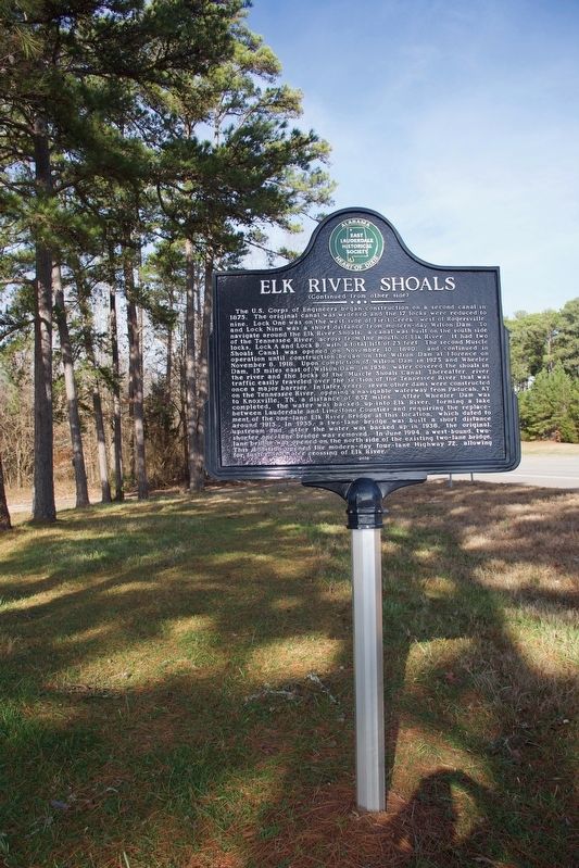
Location. 34° 48.562′ N, 87° 14.39′ W. Marker is near Rogersville, Alabama, in Lauderdale County. It is at the intersection of Lee Highway (U.S. 72) and County Route 635, on the right when traveling east on Lee Highway. Touch for map. Marker is in this post office area: Rogersville AL 35652, United States of America. Touch for directions.

Regionally, this marker is in North Alabama and in the Shoals. It is also in the American South, specifically in the Deep South, in Appalachia, and specifically in Southern Appalachia. Globally, it is in North America, a Gulf of Mexico state, the Western Hemisphere, the Western World, and the Anglosphere. Historically, it finds itself in what was once the territory of the Mississippian Culture, one of the Confederate States of America, and the Antebellum South.
Other nearby markers. At least 8 other markers are within 4 miles of this marker, measured as the crow flies: Lucy's Branch / Legacy of The Little Elk Community (approx. 2.4 miles away); Fort Hampton (approx. 2.4 miles away); Copena Mound (approx. 2.4 miles away); Lauderdale County High School 1912 (approx. 3.1 miles away); First Baptist Church of Rogersville (approx. 3.2 miles away); Lamb’s Ferry Road (approx. 3.3 miles away); Heritage Park (approx. 3.3 miles away); East End High School (approx. 3.4 miles away). Touch for a list and map of all markers in Rogersville.
Credits. This page was last revised on August 11, 2020. It was originally submitted on April 30, 2019, by Sandra Hughes Tidwell of Killen, Alabama, USA. This page has been viewed 1,583 times since then and 126 times this year. Photos: 1, 2, 3. submitted on April 30, 2019, by Sandra Hughes Tidwell of Killen, Alabama, USA. • Bernard Fisher was the editor who published this page.
