Forest Park in St. Louis, Missouri — The American Midwest (Upper Plains)
What's the Value of Open Space?
History Underfoot: 1936
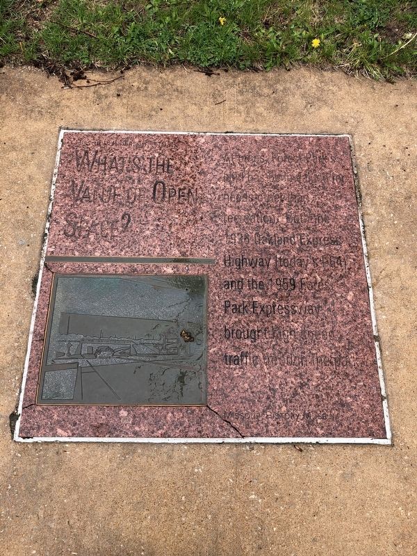
Erected by Missouri History Museum.
Topics and series. This historical marker is listed in these topic lists: Parks & Recreational Areas • Roads & Vehicles. In addition, it is included in the Missouri, St. Louis - History Underfoot series list. A significant historical year for this entry is 1936.
Location. 38° 38.684′ N, 90° 17.21′ W. Marker is in St. Louis, Missouri. It is in Forest Park. It is on DeBaliviere Circle west of Lagoon Drive, on the right when traveling east. Touch for map. Marker is at or near this postal address: 5700 Lindell Boulevard, Saint Louis MO 63112, United States of America. Touch for directions.

Regionally, this marker is in the American Midwest, in the Lewis & Clark Corridor, in the Corn Belt, and in the Great River Road Region. Globally, it is in North America, the Western Hemisphere, the Western World, and the Anglosphere. Historically, it finds itself in what was
this page online
Other nearby markers. At least 8 other markers are within walking distance of this marker: Can the Past Tear Us Apart? (here, next to this marker); A Fair Legacy: The Art Museum (within shouting distance of this marker); Where Do We Celebrate Our Rights? (within shouting distance of this marker); How Do We Support Culture? (within shouting distance of this marker); Follow the Missouri History Museum (about 300 feet away, measured in a direct line); How Do We Understand the Past? (about 300 feet away); Meet Me in St. Louis, Louie! (about 300 feet away); How Will We Renew the Park? (about 400 feet away). Touch for a list and map of all markers in St. Louis.
Credits. This page was last revised on January 30, 2023. It was originally submitted on May 2, 2019, by Devry Becker Jones of Washington, District of Columbia. This page has been viewed 224 times since then and 22 times this year. Photo 1. submitted on May 2, 2019, by Devry Becker Jones of Washington, District of Columbia.
