
Vicksburg in Warren County, Mississippi — The American South (East South Central)
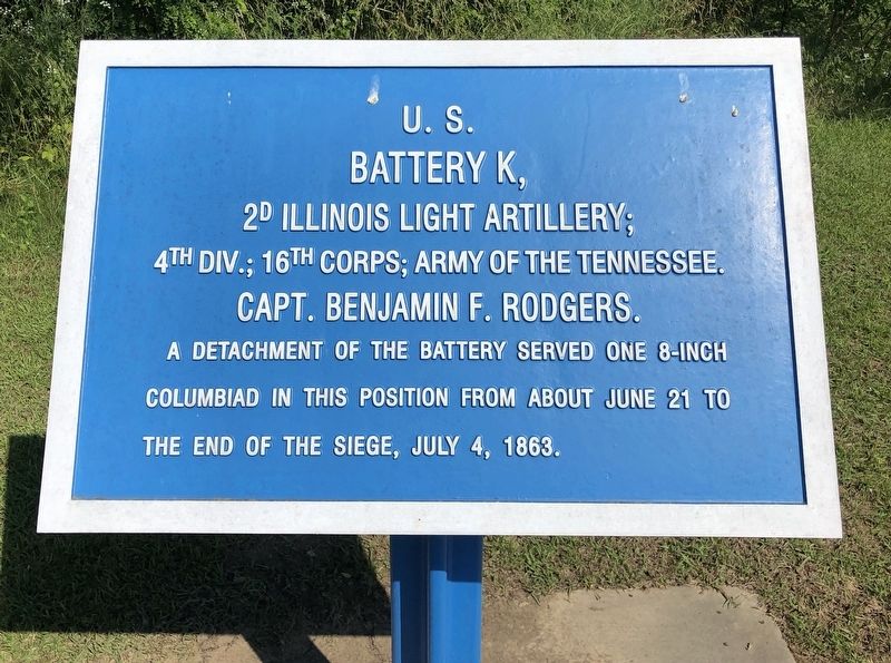
U.S. Battery K,
2D Illinois Light Artillery;
| — | 4th Div.; 16th Corps; Army of the Tennessee. | — |
Photographed by Mark Hilton, May 15, 2019
1. U.S. Battery K, Marker
A detachment of the battery served one 8-inch
Columbiad in this position from about June 21 to
the end of the siege, July 4, 1863.
Erected by National Park Service, Department of the Interior.
Topics. This historical marker is listed in this topic list: War, US Civil. A significant historical date for this entry is June 21, 1863.
Location. 32° 19.327′ N, 90° 52.638′ W. Marker is in Vicksburg, Mississippi, in Warren County. It is at the intersection of North Frontage Road and Halls Ferry Road, on the right when traveling west on North Frontage Road. Touch for map. Marker is at or near this postal address: North Frontage Rd, Vicksburg MS 39180, United States of America. Touch for directions.

Regionally, this marker is in Natchez Trace Corridor and in Greater Jackson. It is also in the American South, specifically in the Deep South, in the Mississippi Delta, and in the Great River Road Region. Globally, it is in North America, a Gulf of Mexico state, the Western Hemisphere, the Western World, and the Anglosphere. Historically, it finds itself in what was once New Spain, the territory
this page online
Other nearby markers. At least 8 other markers are within walking distance of this marker: A different marker also named U.S. Battery K, (within shouting distance of this marker); C.S. Company I, (approx. 0.3 miles away); All Saints Episcopal School (approx. 0.3 miles away); States Rights Gist (approx. half a mile away); South Carolina Monument (approx. half a mile away); Evander McNair (approx. 0.8 miles away); C.S. Company C, (approx. 0.8 miles away); Samuel G. French (approx. 0.8 miles away). Touch for a list and map of all markers in Vicksburg.
Also see . . . Wikipedia article on the Siege of Vicksburg. (Submitted on May 16, 2019, by Mark Hilton of Montgomery, Alabama.)
Photographed by Mark Hilton, May 15, 2019
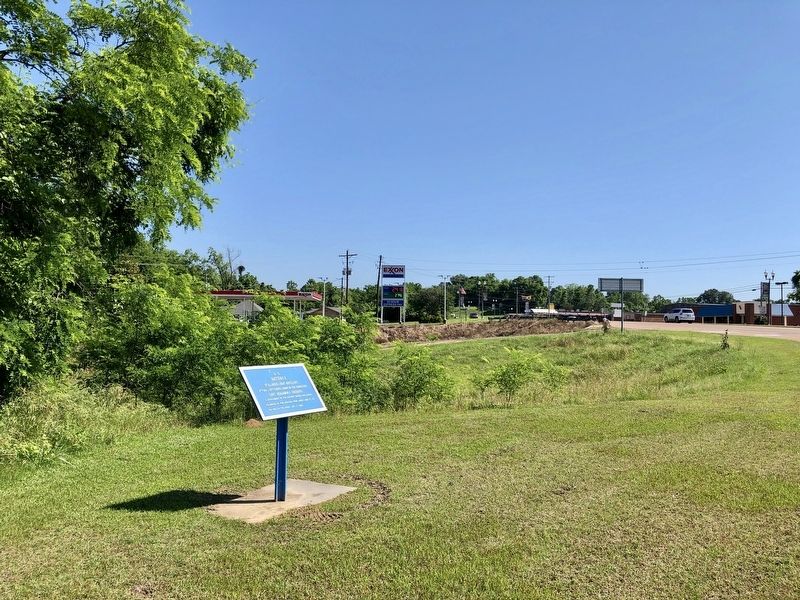
2. Looking north on Halls Ferry Road.
Photographed by Michael Rivera [CC BY-SA 3.0 (https://creativecommons.org/licenses/by-sa/3.0)], July 3, 2014
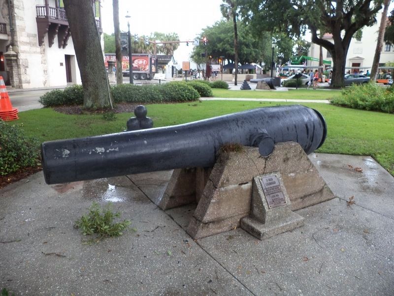
3. Example of an 8 inch Columbiad cannon
Photographed by Mark Hilton, May 15, 2019
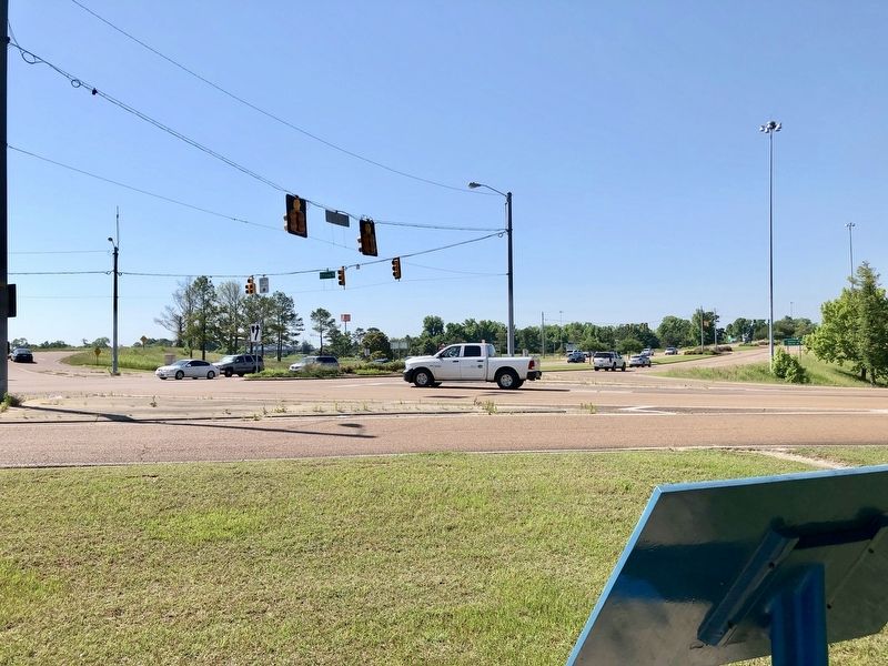
4. The view south from marker towards the I-20 interchange.
Credits. This page was last revised on August 1, 2023. It was originally submitted on May 16, 2019, by Mark Hilton of Montgomery, Alabama. This page has been viewed 360 times since then and 22 times this year. Photos: 1, 2, 3, 4. submitted on May 16, 2019, by Mark Hilton of Montgomery, Alabama.
