Lehighton in Carbon County, Pennsylvania — The American Northeast (Mid-Atlantic)
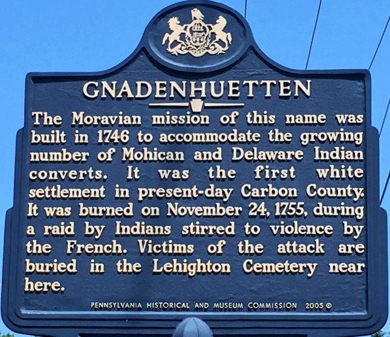
Gnadenhuetten
Erected 2005 by Pennsylvania Historical and Museum Commission.
Topics and series. This historical marker is listed in these topic lists: Cemeteries & Burial Sites • Colonial Era • Disasters • Settlements & Settlers. In addition, it is included in the Pennsylvania Historical and Museum Commission series list. A significant historical date for this entry is November 24, 1755.
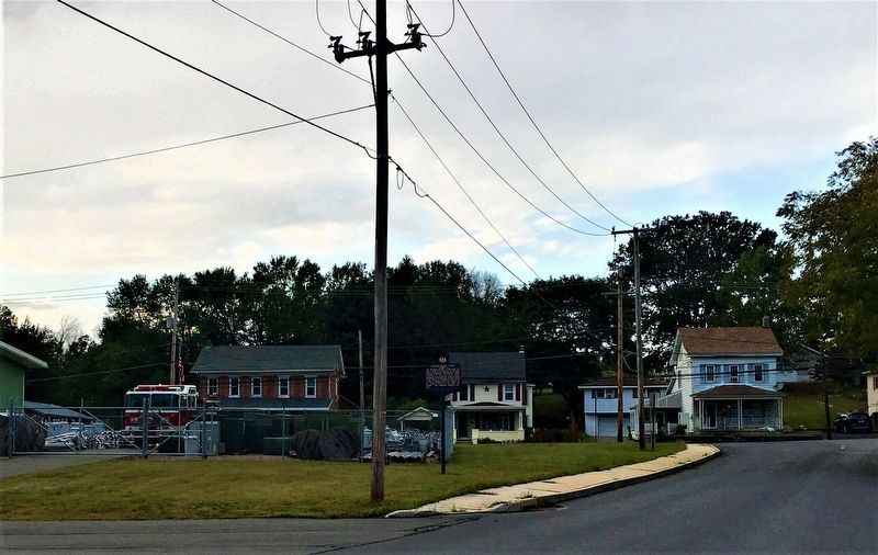
Location. 40° 49.485′ N, 75° 42.942′ W. Marker is in Lehighton, Pennsylvania, in Carbon County. Marker is on East Penn Street, 0.1 miles north of Blakeslee Boulevard, on the left when traveling north. In the parking lot of the Lehighton Public Works Department building. Touch for map. Marker is at or near this postal address: 675 Bridge Street, Lehighton PA 18235, United States of America. Touch for directions.
Other nearby markers. At least 8 other markers are within walking distance of this marker. Veterans Memorial (approx. 0.7 miles away); Vietnam Era Veterans Memorial (approx. 0.7 miles away); Colonel Jacob Weiss (approx. ¾ mile away); Colonel Jacob Weiss Monument (approx. ¾ mile away); American Maritime Veterans Memorial (approx. ¾ mile away); War at Home Memorial (approx. ¾ mile away); Fort Allen Well (approx. ¾ mile away); Betty Mullen Brey (approx. ¾ mile away). Touch for a list and map of all markers in Lehighton.
Regarding Gnadenhuetten. The victims of the massacre detailed on the marker are buried in the nearby Lehighton Cemetery; from the marker, turn northeast onto Bridge Street and look for signs.
Also see . . . MarkerQuest - Gnadenhuetten. Further information and images pertaining to the Gnadenhuetten massacre. (Submitted on May 16, 2019, by Laura Klotz of Northampton, Pennsylvania.)
Credits. This page was last revised on September 13, 2019. It was originally submitted on May 16, 2019, by Laura Klotz of Northampton, Pennsylvania. This page has been viewed 544 times since then and 43 times this year. Photos: 1. submitted on May 16, 2019, by Laura Klotz of Northampton, Pennsylvania. 2. submitted on September 3, 2019, by Laura Klotz of Northampton, Pennsylvania. • Andrew Ruppenstein was the editor who published this page.

