Bacalar, Quintana Roo, Mexico — The Yucatan Peninsula (The Southeast)
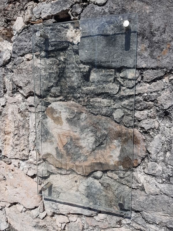
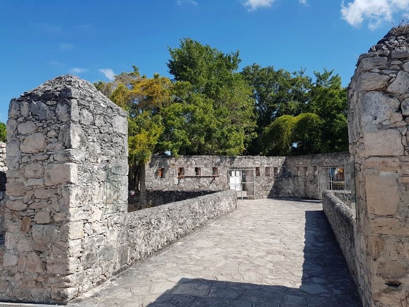
Bridge of the Fort of San Felipe
En el siglo XVIII este puente servía de acceso para la realización de las diversas actividades cotidianas del personal y para evitar los ataques que el fuerte sufría.
Bridge
In the 18th century, this bridge served as access for the daily activities of the personnel and to avoid the attacks that the fort suffered.
Topics. This historical marker is listed in these topic lists: Colonial Era • Forts and Castles • Man-Made Features • Wars, Non-US.
Location. 18° 40.631′ N, 88° 23.311′ W. Marker is in Bacalar, Quintana Roo. Marker can be reached from Avenida 3 just east of Calle 22, on the right when traveling north. Touch for map. Marker is in this post office area: Bacalar QR 77930, Mexico. Touch for directions.
Other nearby markers. At least 8 other markers are within walking distance of this marker. Moat of the Fort of San Felipe (here, next to this marker); Fort of San Felipe (here, next to this marker); San Felipe Fort (within shouting distance of this marker); Bacalar as a Municipality (within shouting distance of this marker); Miguel Hidalgo y Costilla (about 150 meters away, measured in a direct line); Creation of the Municipality of Bacalar (about 240 meters away); Church of San Joaquín (approx. 0.3 kilometers away); Bacalar (approx. 0.3 kilometers away). Touch for a list and map of all markers in Bacalar.
Credits. This page was last revised on May 21, 2019. It was originally submitted on May 21, 2019, by J. Makali Bruton of Accra, Ghana. This page has been viewed 111 times since then and 11 times this year. Photos: 1, 2. submitted on May 21, 2019, by J. Makali Bruton of Accra, Ghana.

