Bacalar, Quintana Roo, Mexico — The Yucatan Peninsula (The Southeast)
Regional Museum of Bacalar
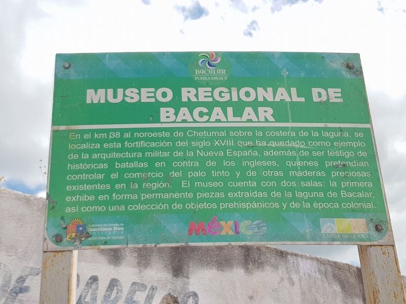
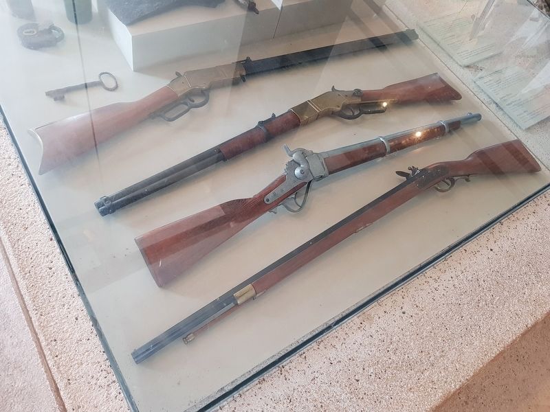
En el km 138 al noroeste de Chetumal sobre la costera de la laguna, se localiza esta fortificación del siglo XVIII que ha quedado como ejemplo de la arquitectura militar de la Nueva España, además de ser testigo de históricas batallas en contra de los ingleses, quienes pretendían controlar el comercio del palo tinto y de otras maderas preciosas existentes en la región. El museo cuenta con dos salas: la primera exhibe en forma permanente piezas extraídas de la laguna de Bacalar, así como una colección de objetos prehispánicos y de la época colonial.
Regional Museum of Bacalar
At kilometer 138 on the coastal highway northwest of Chetumal, this fortification from the 18th century is a striking example of the military architecture of New Spain, besides being witness to historical battles against the English, who sought to control the trade of palo tinto (Campeche wood, Haematoxylum campechianum) and other precious woods existing in the region. The museum has two exhibition halls: a permanent exhibition of pieces extracted from the Bacalar Lagoon, as well as a collection of pre-Hispanic objects and those from the Colonial Era.
Erected by Gobierno del Estado de Quintana Roo 2011-2016.
Topics. This historical marker is listed in these topic lists: Colonial Era • Man-Made Features • Wars, Non-US.
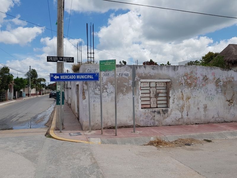
Location. 18° 40.824′ N, 88° 23.336′ W. Marker is in Bacalar, Quintana Roo. Marker is at the intersection of Calle 26 and Avenida 5, on the left when traveling east on Calle 26. Touch for map. Marker is in this post office area: Bacalar QR 77930, Mexico. Touch for directions.
Other nearby markers. At least 8 other markers are within walking distance of this marker. The House of Culture (a few steps from this marker); Bacalar During the XVth Century (about 150 meters away, measured in a direct line); Ichkabal Bacalar (approx. 0.2 kilometers away); Miguel Hidalgo y Costilla (approx. 0.3 kilometers away); Bacalar as a Municipality (approx. 0.3 kilometers away); José María Morelos y Pavón Market (approx. 0.3 kilometers away); San Felipe Fort (approx. 0.3 kilometers away); Church of San Joaquín (approx. 0.3 kilometers away). Touch for a list and map of all markers in Bacalar.
Regarding Regional Museum of Bacalar. The marker refers to the museum of the Fort of San Felipe, a few blocks to the south.
Credits. This page was last revised on May 22, 2019. It was originally submitted on May 22, 2019, by J. Makali Bruton of Accra, Ghana. This page has been viewed 95 times since then and 8 times this year. Photos: 1, 2, 3. submitted on May 22, 2019, by J. Makali Bruton of Accra, Ghana.


