Seaport in Manhattan in New York County, New York — The American Northeast (Mid-Atlantic)
Archaeological Discovery / Making Land
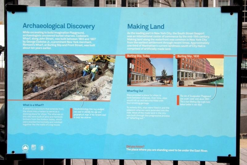
Archaeological Discovery
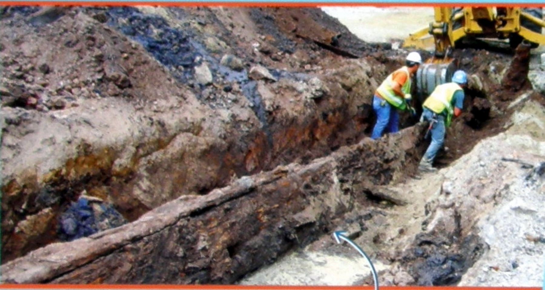
While excavating to build Imagination Playground, archeologists uncovered buried wharfs. Codswise’s Wharf, along John Street, was built between 1803 and 1807 by George Codwise Jr., a prominent New York merchant. Remsen’s Wharf, at Burling Slip and Front Street, was built about ten years earlier.
What is a Wharf?
A wharf is a structure that extends from the shore into a harbor to serve as a docking place for ships. The wharfs on this site was built of pine and hemlock timbers from the Hudson Valley, which were stacked horizontally and notched together like the walls of a log house.
Making Land
As the leading port in New York City, the South Street Seaport was an international center of commerce by the mid-19th century. Making land along the waterfront was common in New York City from the earliest settlement through recent times. Approximately one third of Manhattan’s current landmass south of City Hall is comprised of artificially made land.
Wharfing Out
Slips provided a place for ships to dock between wharfs. Over time, slips were extended into the river. Most of the made land in the city was built through this progressive process of “wharfing out.”
Did you know? The place where you are standing used to be under the East River.
Erected by NYC Parks.
Topics. This historical marker is listed in these topic lists: Anthropology & Archaeology • Industry & Commerce • Waterways & Vessels. A significant historical year for this entry is 1803.
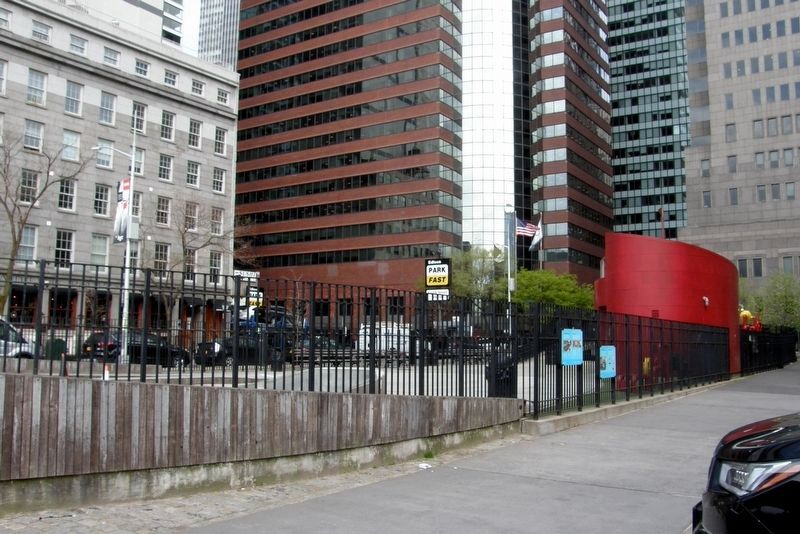
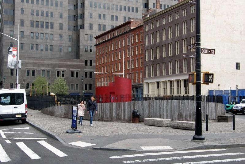
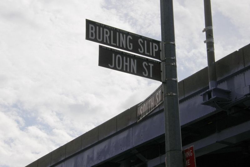
Location. 40° 42.363′ N, 74° 0.227′ W. Marker is in Manhattan, New York, in New York County. It is in Seaport. Marker is on Burling Slip near South Street, on the left when traveling east. Touch for map. Marker is at or near this postal address: Imagination Playground, New York NY 10038, United States of America. Touch for directions.
Other nearby markers. At least 8 other markers are within walking distance of this marker. Urban Archeology / Then and Now (here, next to this marker); Imagination Playground at Burling Slip (within shouting distance of this marker); 170-6 John Street, 86 South Street (within shouting distance of this marker); High Water Mark (within shouting distance of this marker); Ambrose (within shouting distance of this marker); W.O. Decker (within shouting distance of this marker); America's Emporium (within shouting distance of this marker); Wall Street Exists Because of the Seaport (within shouting distance of this marker). Touch for a list and map of all markers in Manhattan.
Credits. This page was last revised on July 17, 2023. It was originally submitted on May 26, 2019, by Larry Gertner of New York, New York. This page has been viewed 135 times since then and 4 times this year. Photos: 1, 2, 3, 4, 5, 6. submitted on May 26, 2019, by Larry Gertner of New York, New York. • Andrew Ruppenstein was the editor who published this page.
