Near Frostburg in Garrett County, Maryland — The American Northeast (Mid-Atlantic)
The Long Stretch
— The Road That Built The Nation —
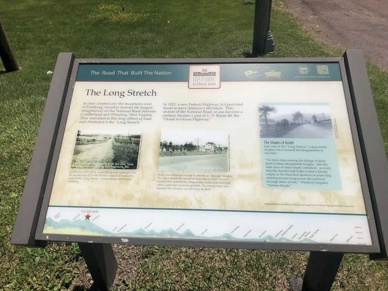
As they climbed into the mountains west of Frostburg, travelers entered the longest straightaway on the National Road between Cumberland and Wheeling, West Virginia. They marveled at this long ribbon of road and christened it the "Long Stretch."
In 1921, a new Federal Highway Act provided funds to pave America's old roads. This section of the National Road, in use for over a century, became a part of U.S. Route 40, the "Ocean to Ocean Highway."
The Shades of Death
Just west of the "Long Stretch," a deep forest of pines once haunted the imaginations of travelers.
"No bird chirps among the foliage or finds food in these inhospitable boughs…like the dark nave of some empty cathedral...at every step the traveler half looks to find a bloody corpse or the blanched skeleton of some long murdered man lying across the pathway through these woods." Winthrop Sergeant "Pioneer Roads"
[Captions:]
Leo Beachy (1874-1927), a local photographer who spent his life documenting life in the Western Maryland mountains, captured the "Long Stretch" of road looking east toward Frostburg.
Hotels and restaurants became landmarks for "pleasure travelers." The New Colonial Inn opened its doors here in 1932. Visitors serviced their automobiles, enjoyed home cooked food, overnight cabins, a gift shop and picnic grounds. The tourist cabins have vanished, but travelers can still enjoy the food.
Erected by America's Byways, Maryland Heritage Area Authority, Maryland National Road Association.
Topics and series. This historical marker is listed in these topic lists: Environment • Industry & Commerce • Roads & Vehicles. In addition, it is included in the The Historic National Road series list. A significant historical year for this entry is 1921.
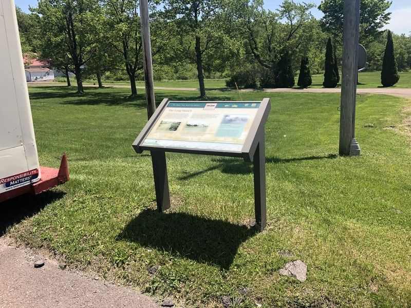
Location. 39° 41.243′ N, 79° 0.261′ W. Marker is near Frostburg, Maryland, in Garrett County. Marker is on National Pike (Alternate U.S. 40) west of Old Frostburg Road, on the left when traveling west. Touch for map. Marker is at or near this postal address: 18072 National Pike, Frostburg MD 21532, United States of America. Touch for directions.
Other nearby markers. At least 8 other markers are within 5 miles of this marker, measured as the crow flies. Historic Braddock Road (approx. 2.4 miles away); Westminster Hall (approx. 4.3 miles away); Cumberland Hall (approx. 4.4 miles away); Frederick Hall (approx. 4.4 miles away); Chesapeake Hall (approx. 4.4 miles away); Public Safety Building (approx. 4½ miles away); The Memorial Window (approx. 4½ miles away); World War I Memorial (approx. 4½ miles away). Touch for a list and map of all markers in Frostburg.
Credits. This page was last revised on March 24, 2024. It was originally submitted on May 26, 2019, by Devry Becker Jones of Washington, District of Columbia. This page has been viewed 486 times since then and 155 times this year. Photos: 1, 2. submitted on May 26, 2019, by Devry Becker Jones of Washington, District of Columbia.

