Downtown in Roanoke, Virginia — The American South (Mid-Atlantic)
Roanoke Milestones
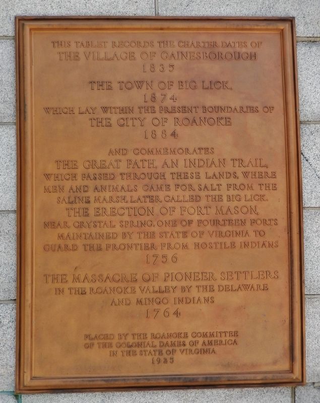
The Village of Gainesborough
1835
The Town of Big Lick,
1874
which lay within the present boundaries of
The City of Roanoke
1884
And commemorates
The Great Path, an Indian Trail,
which passed through these lands, where
men and animals came for salt from the
saline marsh, later called the Big Lick.
The Erection of Fort Mason,
near Crystal Spring, one of fourteen forts
maintained by the State of Virginia to
guard the frontier from hostile Indians
1756
The Massacre of Pioneer Settlers
in the Roanoke Valley by the Delaware
and Mingo Indians
1764
Placed by the Roanoke Committee
of the Colonial Dames of America
in the State of Virginia
1925
Erected 1925 by Roanoke Committee of the Colonial Dames of America in the State of Virginia.
Topics and series. This historical marker is listed in these topic lists: Forts and Castles • Native Americans • Settlements & Settlers • Wars, US Indian. In addition, it is included in the The Colonial Dames of America, National Society of series list.
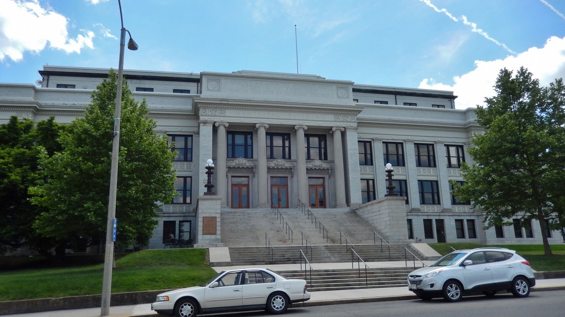
Location. 37° 16.278′ N, 79° 56.696′ W. Marker is in Roanoke, Virginia. It is in Downtown. Marker is on Campbell Avenue Southwest (U.S. 11) west of 2nd Street Southwest, on the left when traveling east. Marker is mounted on the left side of the massive granite staircase at the north side entrance to the 1915 City of Roanoke Municipal Building. Touch for map. Marker is at or near this postal address: 215 Church Avenue Southwest, Roanoke VA 24011, United States of America. Touch for directions.
Other nearby markers. At least 8 other markers are within walking distance of this marker. Theodore J. "Ted" Edlich, III (within shouting distance of this marker); Roanoke Valley War Memorial (about 300 feet away, measured in a direct line); Greene Memorial Church (about 400 feet away); Oakey's (about 400 feet away); Roanoke Times (about 500 feet away); Roanoke Railway and Electric Company (about 600 feet away); Jupiter Missile (about 600 feet away); The David R. and Susan S. Goode Railwalk (about 600 feet away). Touch for a list and map of all markers in Roanoke.
Credits. This page was last revised on February 1, 2023. It was originally submitted on June 1, 2019, by Cosmos Mariner of Cape Canaveral, Florida. This page has been viewed 246 times since then and 17 times this year. Photos: 1, 2, 3. submitted on June 1, 2019, by Cosmos Mariner of Cape Canaveral, Florida.


