Crystal City in Arlington in Arlington County, Virginia — The American South (Mid-Atlantic)
Arlington Transformed by War
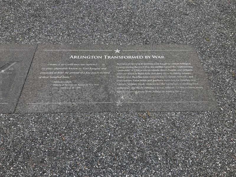
" … a detail of men with axes was marched … to the place afterwards known as 'Fort Runyon' and proceeded to level the ground of a fine peach orchard of three hundred trees."
Emmons Clark,
History of the Seventh Regiment, New York
1806 - 1889, vol. II, 1890
Although no major battles were fought in current Arlington County during the Civil War, the conflict turned the small farming community of 1,500 residents upside down. Forests and orchards were cut down to build forts and deny cover to enemy infantry. Homes and churches were converted to hospitals, barracks, and even stables. Farm fields and pastures were dug for trenches and latrines. Military roads crisscrossed the landscapes, restricting local commerce and made earning a living difficult. Unable to farm, many families moved away from Arlington during the war.
Erected by The Boeing Company.
Topics and series. This historical marker is listed in these topic lists: Forts and Castles • Religion & Religious Structures • Science & Medicine • War, US Civil. In addition, it is included in the Defenses of Washington series list.
Location. 38° 51.921′ N,
this page online

Regionally, this marker is in the Washington Metropolitan Area and in Northern Virginia. It is also in the American South, specifically in the Upper South, in the Mid-Atlantic, and on the Eastern Seaboard. Globally, it is in the North Atlantic Region, North America, the Western Hemisphere, the Western World, and the Anglosphere. Historically, it finds itself in what was once the territory of the Mississippian Culture, one of the original Thirteen Colonies, one of the Confederate States of America, and the Antebellum South.
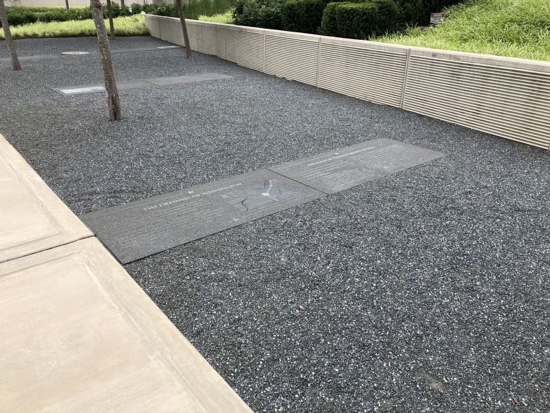
Other nearby markers. At least 8 other markers are within walking distance of this marker: The Defenses of Washington (here, next to this marker); The Union Soldier (here, next to this marker); Known Units Garrisoned at Fort Runyon (here, next to this marker);
Another marker is no longer nearby. A Historic Junction (was about 700 feet away but has been replaced with another marker now near it).
Credits. This page was last revised on February 1, 2023. It was originally submitted on June 7, 2019, by Devry Becker Jones of Washington, District of Columbia. This page has been viewed 377 times since then and 24 times this year. Photos: 1, 2. submitted on June 7, 2019, by Devry Becker Jones of Washington, District of Columbia.
