Kerrville in Kerr County, Texas — The American South (West South Central)
Great Western Cattle Trail
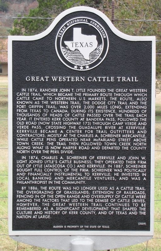
Inscription.
In 1874, Rancher John T. Lytle founded the Great Wester Cattle Trail, which became the primary route through which cattle came to norther U.S markets. The Route, also known as the Western Trail, the Dodge City Trail and the Fort Griffin Trail, was over 2,000 miles long, extending from Texas to Canada. During its existence, hundreds of thousands of heads of cattle passed over the trail each year. It entered Kerr County at Bandera Pass, followed the Old Road (now State Highway 173) through Camp Verde and Verde Pass, crossing the Guadalupe River at Kerrville. Kerrville became a center for trail outfitters and contractors, mostly at the Charles A. Schreiner Mercantile, while cattle pens operated near McFarland Street above Town Creek. The Trail then followed Town Creek north along what is now Harper Road and departed the county north of the Peril Divide.
In 1874, Charles A. Schreiner of Kerrville and John W. Light joined Lytle's cattle business; they operated their firm out of Lytle (Atascosa Co.) and Kerrville. In 1887, Schreiner bought full control of the firm. Schreiner was politically and finacially instrumental to Kerville; he invested in local banking and mercantile ventures, and was a philanthropist in the community.
By 1886, the route was no longer used as a cattle trail. The overgrazing of grasslands, extension of railroads, fencing in of the open range and oversupply of cattle were among the factors that led to the demise of cattle drives. However, the Great Western Trail continues to be remembered as a significant development that shaped the culture and history of Kerr County, and of Texas and the Nation at large.
Erected 2009 by Texas Historical Commission. (Marker Number 15837.)
Topics. This historical marker is listed in these topic lists: Agriculture • Animals • Industry & Commerce • Roads & Vehicles. A significant historical year for this entry is 1874.
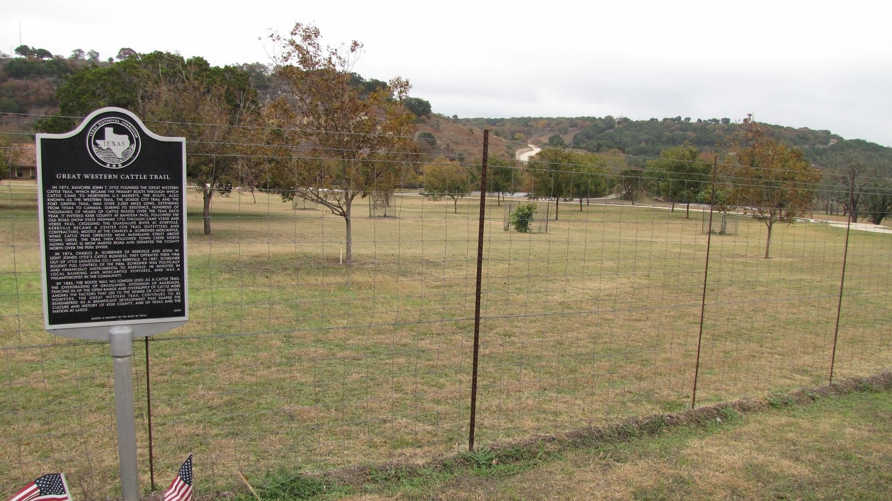
Location. 30° 7.302′ N, 99° 9.236′ W. Marker is in Kerrville, Texas, in Kerr County. Marker is at the intersection of Harper Road (Farm to Market Road 783) and Valle Vista Drive, on the right when traveling north on Harper Road. Touch for map. Marker is in this post office area: Kerrville TX 78028, United States of America. Touch for directions.
Other nearby markers. At least 8 other markers are within 5 miles of this marker, measured as the crow flies. Methodist Encampment Community (approx. 3.4 miles away); First Christian Church (approx. 3.7 miles away); Kerrville Lodge No. 697, A.F. & A.M. (approx. 4 miles away); Order of the Eastern Star Kerrville Chapter #24 (approx. 4 miles away); Starkey Cemetery (approx. 4.3 miles away); Old Spanish Trail (approx. 4.4 miles away); Gatlin Site (approx. 4˝ miles away); The Famous Door Cafe (approx. 4˝ miles away). Touch for a list and map of all markers in Kerrville.
Credits. This page was last revised on June 9, 2019. It was originally submitted on June 8, 2019, by QuesterMark of Fort Worth, Texas. This page has been viewed 539 times since then and 98 times this year. Photos: 1, 2, 3. submitted on June 8, 2019, by QuesterMark of Fort Worth, Texas. • Bernard Fisher was the editor who published this page.


