Roseau, Saint George, Dominica — Caribbean Region of the Americas (Lesser Antilles of the West Indies)
Woodbridge Bay
Explore Roseau
Woodbridge Bay
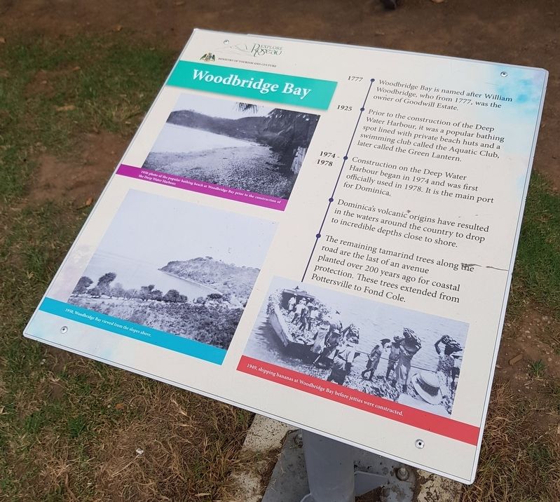
1777 Woodbridge Bay is named after William Woodbridge, who from 1777, was the owner of Goodwill Estate.
1925 Prior to the construction of the Deep Water Harbour, it was a popular bathing spot lined with private beach huts and a swimming club called the Aquatic Club, later call the Green Lantern.
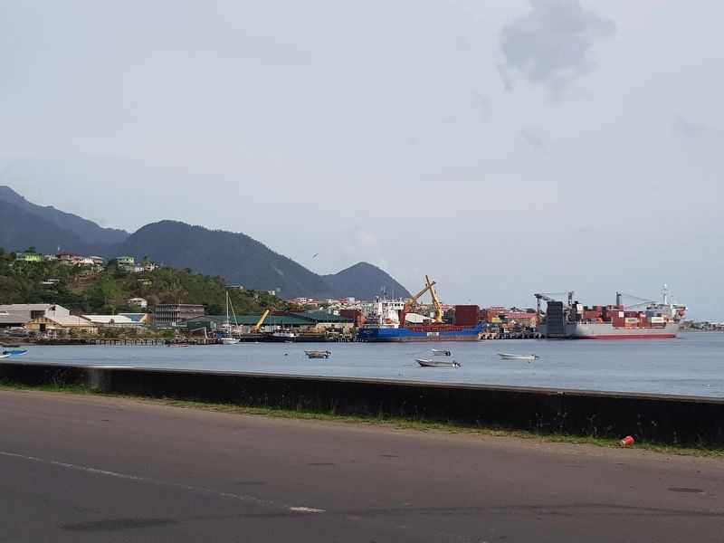
1974-1978 Construction on the Deep Water Harbour began in 1974 and was first officially used in 1978. It is the main port for Dominica.
Dominica’s volcanic origins have resulted in the waters around the country to drop to incredible depths close to shore.
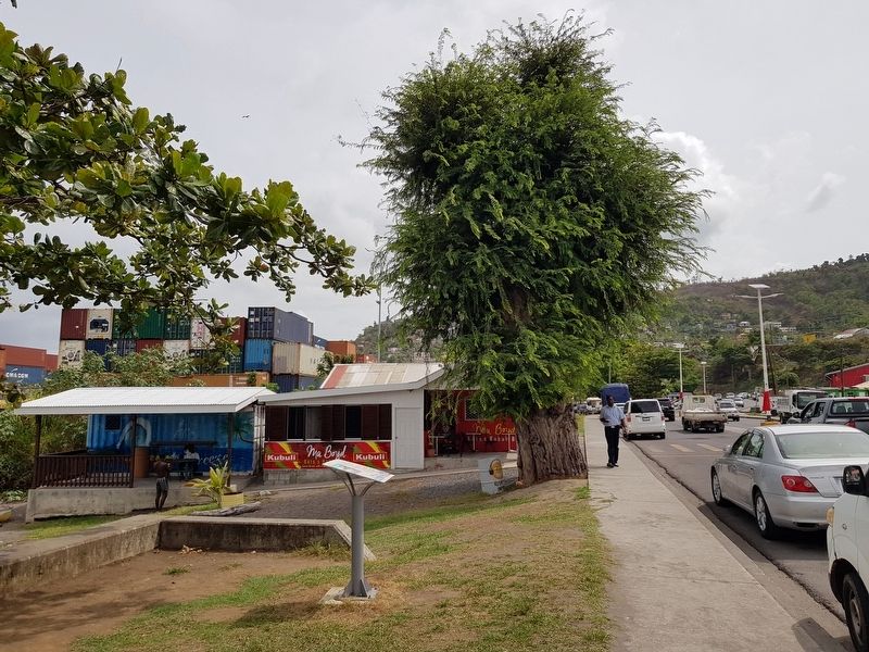
The remaining tamarind trees along the road are the last of an avenue planted over 200 years ago for coastal protection. These trees extended from Pottersville to Fond Cole.
Captions:
1990 photo of the popular bathing beach at Woodbridge Bay prior to the construction of the Deep Water Harbour.
1950, Woodbridge Bay viewed from the slopes above.
1949, shipping bananas at Woodbridge Bay before jetties were constructed.
Erected by Ministry of Tourism and Culture.
Topics. This historical marker is listed in these topic lists: Colonial Era • Industry & Commerce • Waterways & Vessels. A significant historical year for this entry is 1777.
Location. 15° 18.608′ N, 61° 23.335′ W. Marker is in Roseau, Saint George. Marker is on Edward Oliver Leblanc Highway just north of Charles Avenue, on the left when traveling north. Touch for map. Touch for directions.
Other nearby markers. At least 8 other markers are within walking distance of this marker. Simon Bolivar (approx. half a kilometer away); Pottersville (approx. 0.6 kilometers away); Cecil E. A. Rawle (approx. 0.6 kilometers away); a different marker also named Pottersville (approx. 1.1 kilometers away); Roseau Bayfront (approx. 1.4 kilometers away); Roseau Cathedral (approx. 1.4 kilometers away); Methodist Church (approx. 1.4 kilometers away); Morne Bruce Garrison (approx. 1.5 kilometers away). Touch for a list and map of all markers in Roseau.
Credits. This page was last revised on June 13, 2019. It was originally submitted on June 13, 2019, by J. Makali Bruton of Accra, Ghana. This page has been viewed 262 times since then and 41 times this year. Photos: 1, 2, 3, 4. submitted on June 13, 2019, by J. Makali Bruton of Accra, Ghana.


